
Leander1, 2002
Leander’s story
144 years in pictures
Census counts: 2,179 in 1980, 59,202 in 2020. The archive holds 6 old photos and papers going back to 2002 and 3 maps from 1962 on.
- 1882Leander is settled
Each edition grades its towns against each other only.
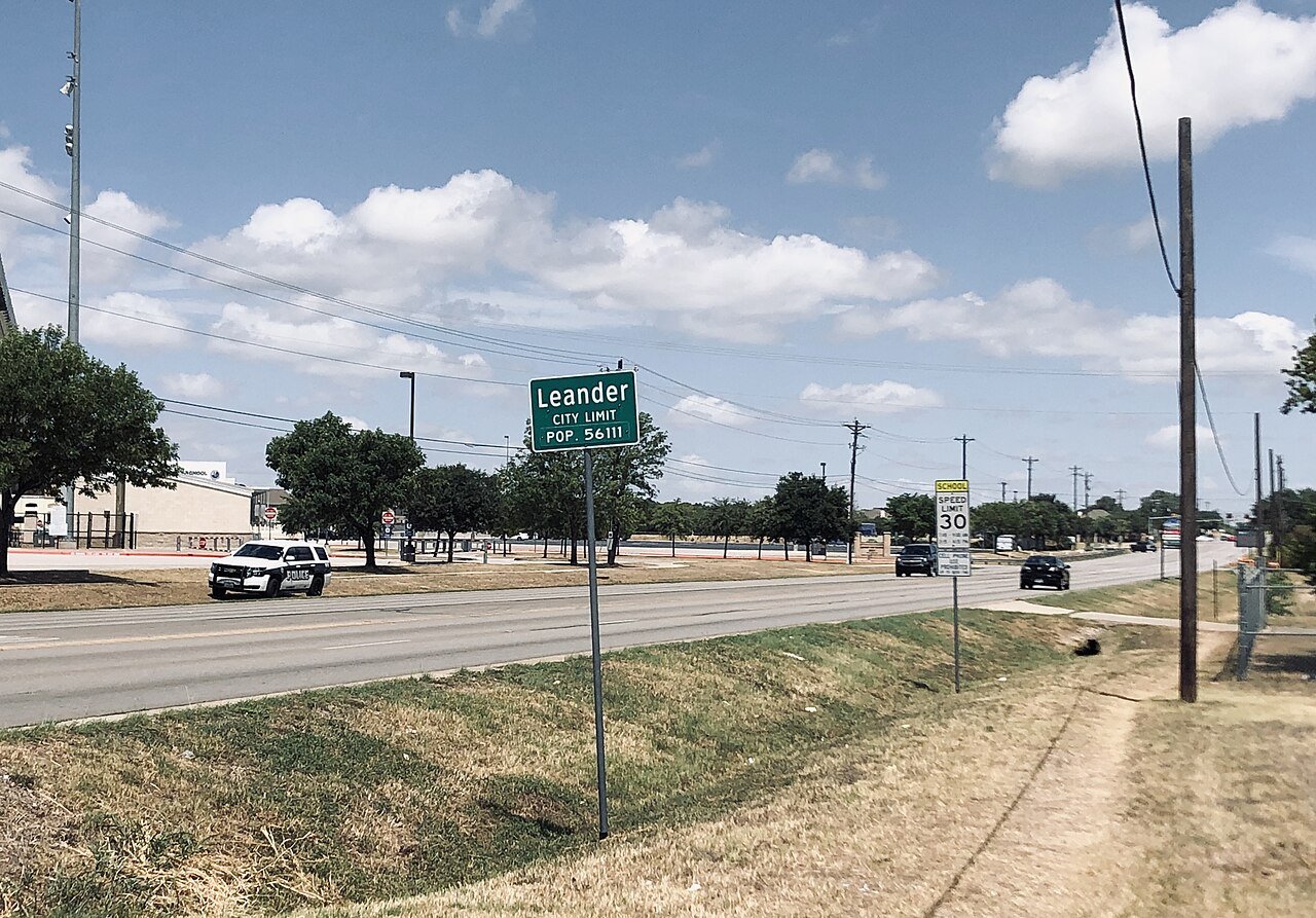
A city of 91,132, settled in 1882.
For most people who can afford it, yes. Leander grades A− overall, ranked 27th of 640 in Texas. The median household earns $139K. CDC estimates put its residents' health ahead of 89% of the country and its schools rank ahead of 81% of Texas towns. What holds it back is price: homes are expensive, about $420K for a typical one and 4.2 times the Austin metro’s $100K median household income. Leander’s median household income is $139,000, against $69,000 in Texas’ towns and $80,000 across U.S. towns. Only 98 of Texas’ 1,000 towns score higher on the outdoors. The biggest park or preserve is Lakewood Park, at 110 acres.
Where Leander beats most towns.
26,521 counted in 2010 and 59,202 in 2020; an estimated 91,132 in 2025.
Growth hasn’t slowed: 53.8% since 2020, after 123.2% in the decade before.
U.S. Census 2010 & 2020 counts · Census Bureau estimate, July 1, 2025
Each subject compared with towns across the country (schools within Texas), ordered by how far Leander is from typical.
How TownRatings grades towns →
Census counts: 2,179 in 1980, 59,202 in 2020. The archive holds 6 old photos and papers going back to 2002 and 3 maps from 1962 on.
Who provides power, water and the rest in Leander, and how to reach them.
EPA SDWIS (Oct 9, 2026) · HIFLD + EIA-861 2025 · Census 2020 ZCTAs · NCES 2024–25 · registration: vote.gov, updated Nov 18, 2024.
Ordered by what stands out in Leander.
Leander reports less crime than Liberty Hill or any other graded neighbor, has more 90° days than nearly all U.S. towns and has less food insecurity than most of Texas.
32 miles of trail in 20 parks and preserves. The trail density in Leander is 0.8 miles per square mile.
| Leander | Texas towns | U.S. towns | |
|---|---|---|---|
| Miles of trail per square mile | 0.8 miles per square mile | 0.3 | 0.4 |
| Conserved land | 4.8% | 1.9% | 4.3% |
| Biggest places to walk | Trails | Acres |
|---|---|---|
| 1. Benbrook Ranch Park | 1.2 mi | 45 |
| 2. Devine Lake Park | 0.7 mi | 33 |
| 3. Lakewood Park | 0.6 mi | 110 |
Trails & parks © OpenStreetMap contributors · Conserved land: USGS PAD-US
Its A− for schools comes with a D for cost of living: the typical home is worth about $420K.
Its public schools are run by Leander ISD. Three of its 27 schools are below, each with why it’s listed.
| School | Level | Students | Letter |
|---|---|---|---|
| Florence W Stiles MiddleLargest public middle schoolGrades 6–8 | Grades 6–8 | 1,493 | A+ |
| Rouse H SLargest public high schoolGrades 9–12 | Grades 9–12 | 2,260 | B+ |
| Monta Jane Akin ElTop results in townGrades PK–5 | Grades PK–5 | 872 | A |
NCES · EDFacts · graded within TX on state tests and graduation
Its widest gap with Texas is food insecurity: 11% of its 42,036 adults worry about having enough food, against 19.3% statewide. Against the 3,660 U.S. towns with household incomes like Leander’s, it is healthier than 59%, a smaller edge than it has nationally: part of it comes with its incomes.
10% of Leander adults report frequent physical distress. Leander beats the Texas average on 21 of 31 CDC measures and trails it on 1. 27% of Leander adults have high blood pressure.
| Leander | Texas towns | U.S. towns | |
|---|---|---|---|
| Frequent physical distress (CDC PLACES) | 10% | 15% | 14% |
| High blood pressure (CDC PLACES) | 27% | 35% | 35% |
| Diabetes (CDC PLACES) | 8.7% | 13% | 12% |
| Fair or poor health (CDC PLACES) | 15% | 24% | 19% |
| What stands out | Leander | TX |
|---|---|---|
| Fewer adults facing food insecurity | 11% | 19.3% |
| Fewer uninsured adults | 11% | 19.1% |
| Fewer adults treating high blood pressure | 70.8% | 74.1% |
CDC PLACES 2025 · modeled estimates for adults · CMS · HRSA
The typical value, about $420K, is 30% below its June 2022 peak. At about $420K, home values are down 15% in five years, against a rise of 10% across Texas.
Leander’s median rent is $1,939 a month. Typical home values fell 5.6% in the year to September 2026.
| Leander | Texas towns | U.S. towns | |
|---|---|---|---|
| Median rent | $1,939 a month | $1,206 a month | $1,185 a month |
| Renters paying 30%+ of income on rent | 46% | 51% | 48% |
| Households that own their home | 73% | 69% | 73% |
Census ACS, 2020–24 · Zillow Home Value Index · Redfin Data Center
Jobs based here grew from 9,335 in 2013 to 17,555. 30.6% of workers work from home, against 14.4% across Texas.
Most working residents leave Leander for work: only 9% work in town. 31% of workers work from home in Leander. Jobs based in Leander grew to 17,555 in 2023, 8,220 more than in 2013.
| Leander | Texas towns | U.S. towns | |
|---|---|---|---|
| Work from home | 31% | 9.6% | 11% |
| Below the poverty line | 5.8% | 12% | 9.6% |
| Average trip to work | 29 minutes | 25 minutes | 25 minutes |
Census LEHD 2023 · ACS
Its B+ tops all 4 graded towns on its borders; Liberty Hill (B+) comes closest. At 10.2 crimes per 1,000 residents a year, it reports less crime than 87% of Texas’s graded towns.
FBI crime data, 2025 · crimes reported to police
The Georgetown Lake weather station, 11 miles away, records that about 112 days a year reach 90°, more than in 97% of U.S. towns. July afternoons average 95.3°, hotter than in 96% of U.S. towns; January nights average 37.8°.
Leander has mild winters and hot summers. Snow is almost unheard of.
| Leander | Texas towns | U.S. towns | |
|---|---|---|---|
| July high | 95°F | 95°F | 85°F |
| January low | 38°F | 37°F | 22°F |
NOAA U.S. Climate Normals, 1991–2020
Expected storm and flood damage is lower than in 67% of U.S. communities. Since 1981, 10 flood insurance claims have been paid out in Leander.
FEMA flood insurance claims · FEMA National Risk Index · OpenFEMA
Museums, parks, gardens and other places to visit around Leander. Close and well known come first.
 Big draw22 mi Stadium & arenaDarrell K Royal–Texas Memorial Stadium
 3 mi Stadium & arenaCedar Park Center
 22 mi Stadium & arenaMoody Center
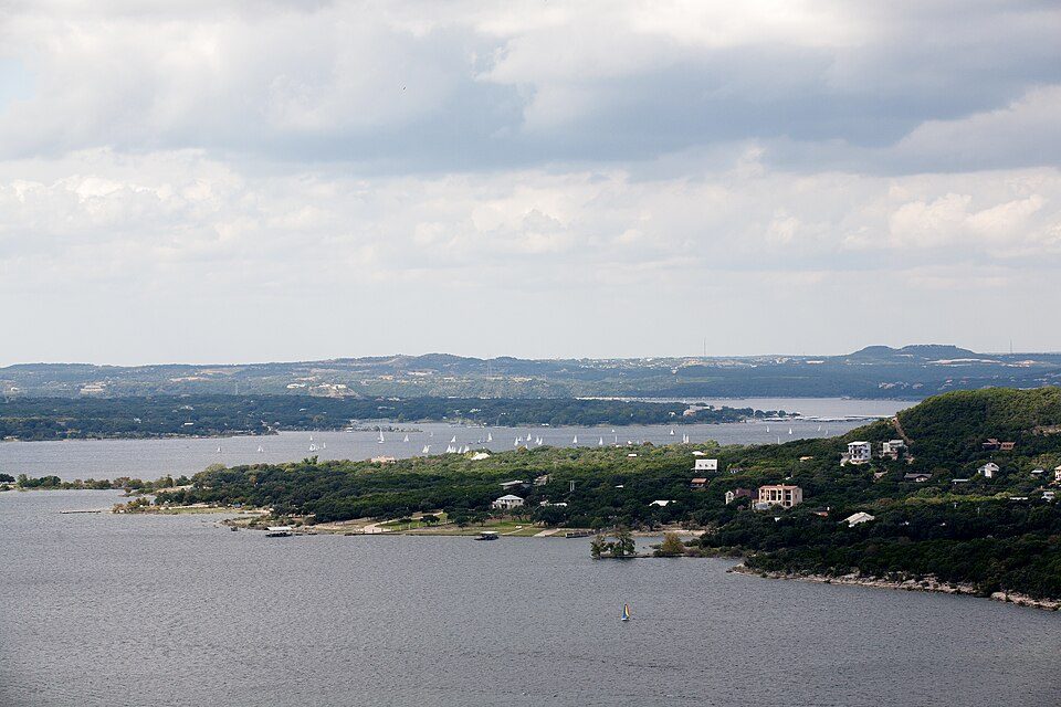 13 mi LakeLake Travis
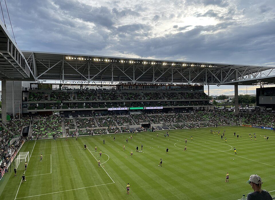 15 mi Stadium & arenaQ2 Stadium
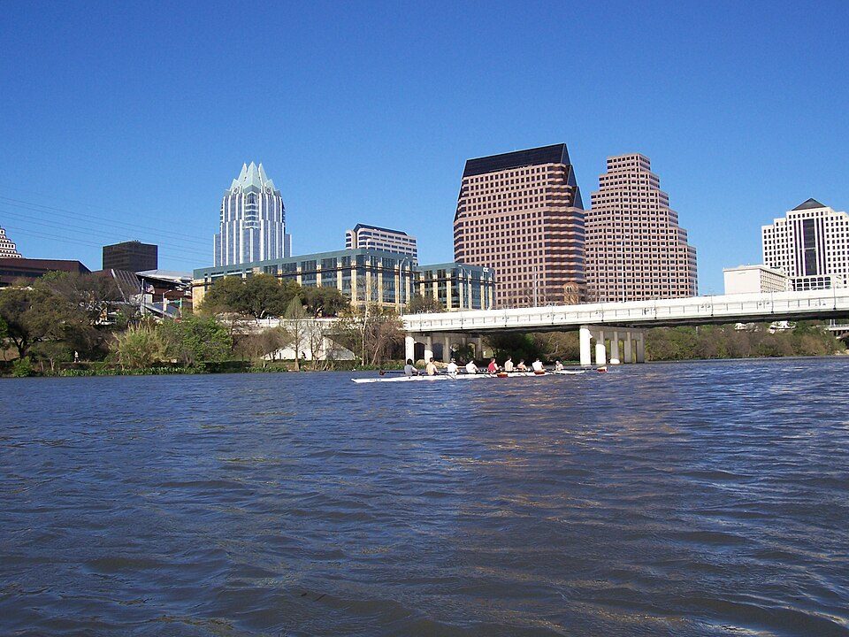 24 mi LakeLady Bird Lake
Darrell K Royal–Texas Memorial Stadium: Brint03, CC BY-SA 3.0 · Cedar Park Center: Larry D. Moore, CC BY 4.0 · Moody Center: Larry D. Moore, CC BY 4.0 · Lake Travis: Trey Perry, CC BY 3.0 · Q2 Stadium: Daniel Ziegler, CC BY-SA 4.0 · Lady Bird Lake: Arvindn on en.wikipedia, CC BY-SA 3.0
4 within 15 miles of the center of Leander
About 5 of every 100 Leander residents are enrolled in college, about the same as Texas.
Where Leander’s working residents go each day. Line width shows the share.
Census LEHD 2023
City in Texas, United States
Leander ( lee-AN-dər) is a city in Williamson and Travis Counties, Texas, United States. Its population was 59,202 at the 2020 census and 91,132 at the 2025 census estimate. A suburb just north of Austin, and part of the Greater Austin metropolitan area, it was the fastest-growing city in the United States between 2018 and 2019.
From Wikipedia, licensed CC BY-SA 4.0 · facts via Wikidata (CC0)
4 towns share a border with Leander.
At #27 in TX, it grades higher overall than all 4 graded towns on its borders; Liberty Hill (A−) comes closest.
| Town | TX rank | Overall | Cost | Safety | Schools | Health |
|---|---|---|---|---|---|---|
| Leander | #27 | A− | D | B+ | A− | A |
| Cedar Park | #57 | A− | D | B− | A− | A |
| Jonestown | #166 | B− | D− | B− | A− | A |
| Georgetown | #249 | C+ | D | B− | C+ | A− |
| Liberty Hill | #55 | A− | C− | B+ | A− | A− |
Short answers, built from the data on this page.
For most people who can afford it, yes. Leander grades A− overall, better than 82% of U.S. towns and #27 of 640 in Texas. It grades A for health, B+ for safety and A− for schools. Cost of living is its weak spot, with a D.
Yes. Cost of living, which also weighs rents, property taxes and how many households pay 30% or more of their income for housing, grades D.
2 notable people were born here, including Paul Thompson and Talen Maples.


