Most of Santee was built recently: 0.0% of its homes predate 1940 and the median home dates from 1993. Below: 12 old photos and papers, maps from 1921 on, and the census since 1950.
Nothing in the archives for these yearsWeddings on Main Street, storms, parades, school pictures, the old store. If it’s in your family album, it belongs here.
Every edition of the U.S. Geological Survey’s map of Santee. Tap a year, or press play to watch the town change.
1921Eutawville sheet · 1:62,500
U.S. Geological Survey historical topographic maps (public domain), via Esri’s collection of the scans. The red ring marks the center of Santee.
The story so far
Santee, in brief
Wikipedia doesn’t have a history of Santee yet. The photos, dates and memories neighbors add here are how it gets written.
Santee is a town in Orangeburg County along the Santee River Valley in central South Carolina, United States. It has become a resort town of note located centrally north-south along the Atlantic Seaboard of South Carolina. The region has been rural, with a primarily agricultural economy typical of Orangeburg County, but is now known primarily for its several golf courses in proximity to Lake Marion, Santee State Park and other Lake Marion attractions. Interstate 95 connects its attractions easily with tourists traveling by automobile. I-95 crosses a narrow arm of the lake into the town lands, along a causeway. Lake Marion is a man-made hydroelectric reservoir, which at 110,000 acres (450 km…
Its first post office opened in 1940. Between the 2010 and 2020 censuses its population fell from 961 to 797 (-17%).
Intro from Wikipedia. Population: U.S. Census Bureau.
From the old history books
What they wrote about Santee in 1898
Passages that mention Santee, cut from the printed page as they were published.
The history of Orangeburg County, South Carolina1898 · page 70Read the page →
Read the text
and of these eleven townships two were laid off on the Santee. Or, more propeily, on the Congaree, a branch of the Santee, and the Santee. These were Amelia and the township which up to 1736 was called Congaree Township, but which in that year was called Saxe-Gotha by Governor Broughton.
Text read by machine from the scan; it may contain errors.
The history of Orangeburg County, South Carolina1898 · page 70Read the page →
Read the text
and of these eleven townships two were laid off on the Santee. Or, more proper])’, on the Congaree, a branch of the Santee, and the Santee. These were Amelia and the township which up to 1736 was called Congaree Township, but which in that year was called Saxe-Gotha by Governor Broughton.
Text read by machine from the scan; it may contain errors.
The history of Orangeburg County, South Carolina1898 · page 510Read the page →
Read the text
Timely assistance in this way portends much good to this State. I have also to request that every inhabitant of this State, westward of Santee be permitted to join their respective Regiments, or rather immediately repair to my station. I desired Col. Marshall, with what men we could collect to march down, eastward of Camden, and will probably fall in with you in good time. I wish and beg that you may suppress every species of plundering, as the greatest evils to the publick, as well as individuals, are experienced thereby. You cannot be
Text read by machine from the scan; it may contain errors.
Scans and text from the Internet Archive. Books published in 1930 or earlier, which are in the public domain.
Timeline
Santee, 1921 to 1988
Woven from the archive, old maps, post office records, the National Register and the people born here.
Founding dates: Wikidata, Wikipedia, the U.S. post office records of Blevins & Helbock (CC0) and the Census. Homes by year built: Census ACS 2020–24. National Register of Historic Places: National Park Service (list of May 22, 2026). Old photos, postcards and papers: Wikimedia Commons, the Library of Congress and other public archives, credited on each item’s page. Maps: U.S. Geological Survey historical topographic maps (via Esri) and Sanborn fire-insurance maps (Library of Congress). History text and census tables: Wikipedia (CC BY-SA 4.0). Places that used to be: USGS Geographic Names Information System (2021). How TownRatings grades history →
From Wikimedia Commons (12), Wikidata and Wikipedia for famous people, U.S. Geological Survey historical maps, U.S. Census counts (via Wikipedia), the US Post Offices dataset (Blevins & Helbock), the USGS Geographic Names Information System and old county and town histories (Internet Archive). Archive images are copied here with their credits and licenses, shown on each photo’s page. Refreshed monthly.


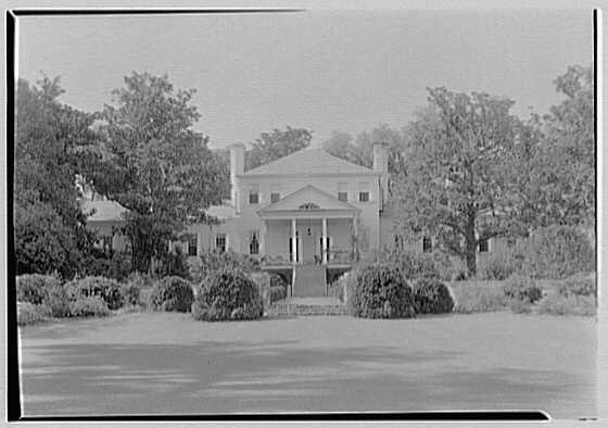

 1937
 1937
 1937
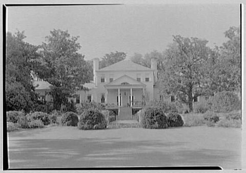 1937
 1937
 1940s
 c. 1940
 1979
 1979
 1979
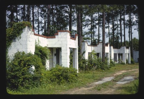 1979
 1979


![and of these eleven townships two were laid off on the Santee. Or, more proper])’, on the Congaree, a branch of the Santee, and the Santee. These were Amelia and the township which up to 1736 was called Congaree Township, but which in that year was called Saxe-Gotha by Governor Broughton.](https://images.townratings.com/story/15703/bk-33796ea4f86692d4-l.jpg)


