WhitfieldPA
A town of 5,226.
Is Whitfield a good place to live?
56% of adults 25 and older hold a bachelor’s degree or more in Whitfield, above both Pennsylvania’s towns (29%) and U.S. towns (29%). Whitfield’s density of trails is 1.3 miles per square mile, where Pennsylvania’s towns sit at 0.4 and U.S. towns at 0.4. We don’t grade Whitfield yet; the figures below are still real.
99% of working residents leave Whitfield for work
Where Whitfield’s working residents go each day. Line width shows the share.
Census LEHD 2023
Moving to Whitfield: who provides what
Whitfield is unincorporated, so Berks County and regional agencies provide most services.
EPA SDWIS (Oct 9, 2026) · HIFLD + EIA-861 2025 · Census 2020 ZCTAs · NCES 2024–25 · registration: vote.gov, updated Nov 18, 2024.
The data
Ordered by what stands out in Whitfield.
Natural hazards: very low risk in Whitfield, mostly inland flooding
The FEMA hazard score in Whitfield is 7 of 100. Of the losses FEMA expects in the town, 52% come from inland flooding and 16% from hurricanes. Expected storm and flood damage is lower than in 93% of U.S. communities.
FEMA National Risk Index · OpenFEMA
A smaller share of working residents in Whitfield work locally than in the typical Pennsylvania or U.S. town
6.1% of residents live below the poverty line in Whitfield. Between 2013 and 2023, jobs in Whitfield dropped by 109, to 723. In Whitfield, the typical household income is $127,000. The top destinations are Reading (12%), Spring Township (11%) and Wyomissing (6%).
| Whitfield | Pennsylvania towns | U.S. towns | |
|---|---|---|---|
| Median household income | $127,000 | $81,000 | $80,000 |
| Work from home | 18% | 12% | 11% |
| Working residents who work in town | 1.2% | 6.3% | 8% |
| Below the poverty line | 6.1% | 7.6% | 9.6% |
Where working residents work
Census LEHD 2023 · ACS
Whitfield: four seasons and pleasant summers
Expect July afternoons of 86° and January nights of 22°, with about 27 inches of snow a winter.
Typical low → high °F
NOAA U.S. Climate Normals, 1991–2020
Whitfield stands out in Pennsylvania and nationally, with fewer of its adults who report frequent mental distress
Among adults 18 to 64 in Whitfield, 5.3% have no health insurance. This Pennsylvania town beats the Pennsylvania average on 10 of 26 CDC measures and trails it on 1. In Whitfield, one in ten adults smoke cigarettes, and 11% report frequent physical distress.
| Whitfield | Pennsylvania towns | U.S. towns | |
|---|---|---|---|
| Frequent mental distress (CDC PLACES) | 12% | 16% | 17% |
| Smoke cigarettes (CDC PLACES) | 10% | 17% | 14% |
| Frequent physical distress (CDC PLACES) | 11% | 14% | 14% |
| Fair or poor health (CDC PLACES) | 13% | 19% | 19% |
| What stands out | Whitfield | PA |
|---|---|---|
| Fewer older adults who have lost all their teeth | 9% | 14.5% |
| Fewer smokers | 10.2% | 15.8% |
| More adults who have had cancer | 10.7% | 8.8% |
CDC PLACES 2025 · modeled estimates for adults · CMS · HRSA
| Biggest places to walk | Trails | Acres |
|---|---|---|
| 1. Drexelwood Park | 0.4 mi | 6 |
| 2. Breneman Park | — | 4 |
Trails & parks © OpenStreetMap contributors · Conserved land: USGS PAD-US
A home in Whitfield sells for about $380K at the median
Whitfield’s typical rent comes in at $1,474 a month. In Whitfield, just over nine in ten households own their home. Also worth knowing: a home in Whitfield typically sold within 4 days of listing.
| Whitfield | Pennsylvania towns | U.S. towns | |
|---|---|---|---|
| Households that own their home | 91% | 78% | 73% |
| Median rent | $1,474 a month | $1,115 a month | $1,185 a month |
Census ACS, 2020–24 · Zillow Home Value Index · Redfin Data Center
Hersheypark and 60 more within 40 miles
Museums, parks, gardens and other places to visit around Whitfield. Close and well known come first.
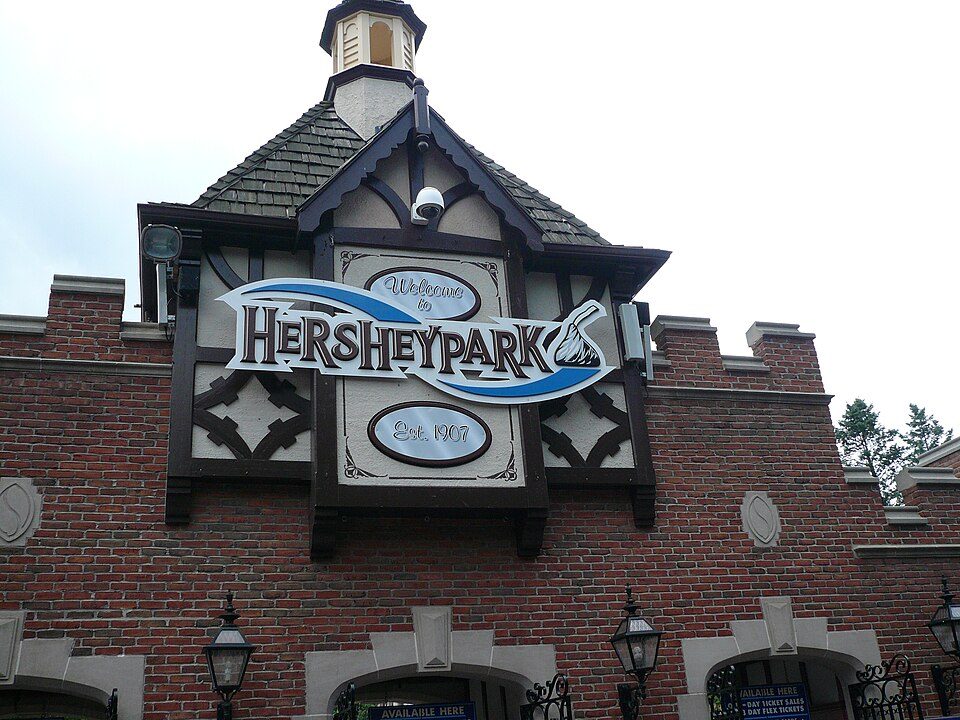 34 mi Theme parkHersheypark3.0M visitors a year
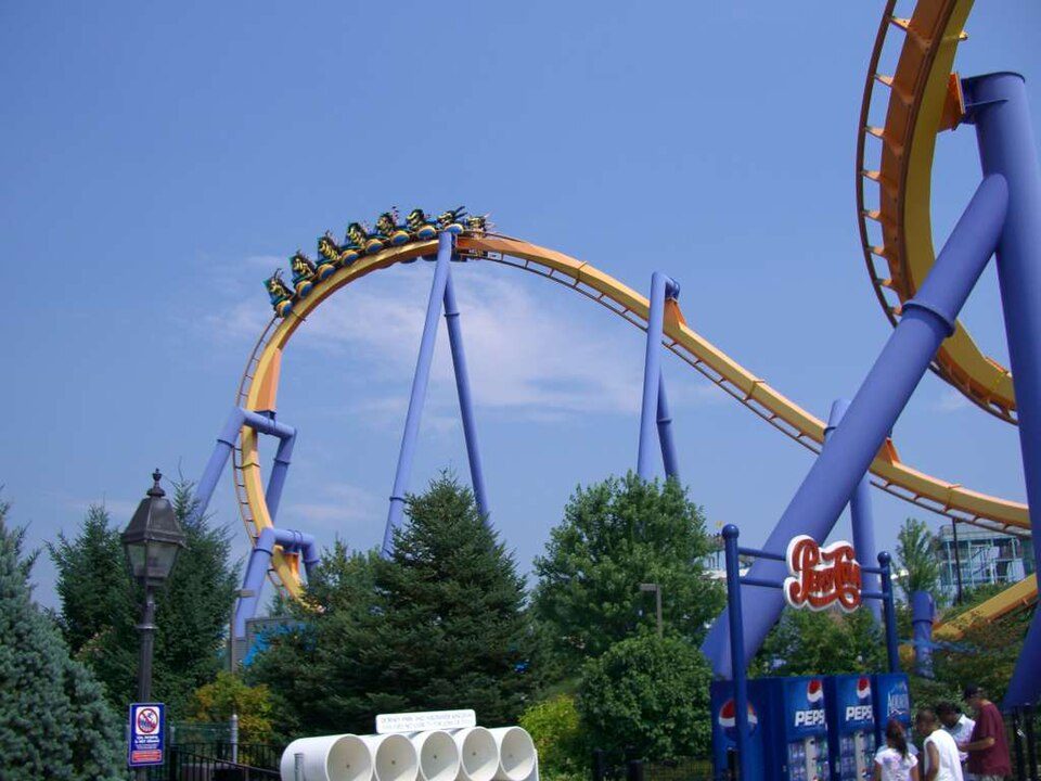 30 mi Theme parkDorney Park & Wildwater Kingdom
 37 mi GardenLongwood Gardens4 mi Stadium & arenaSovereign Center
 24 mi Theme parkDutch Wonderland
 14 mi MuseumEphrata Cloister
Photo credits
Hersheypark: Michael Gray, CC BY-SA 2.0 · Dorney Park & Wildwater Kingdom: Coasterman1234 at en.wikipedia, CC BY-SA 3.0 · Longwood Gardens: P. Hughes, CC BY-SA 4.0 · Dutch Wonderland: FlugKerl2, CC BY-SA 3.0 · Ephrata Cloister: 1549bcp at English Wikipedia, Public domain


Everything we know about Whitfield
Colleges nearby
4 within 15 miles of the center of Whitfield
About 2 of every 100 Whitfield residents are enrolled in college, against 6 across Pennsylvania.
About Whitfield
Unincorporated community in Pennsylvania, US
Whitfield is a census-designated place (CDP) in Berks County, Pennsylvania, United States. The population was 4,733 at the 2010 census.
From Wikipedia, licensed CC BY-SA 4.0 · facts via Wikidata (CC0)
- Area
- 1.1 sq mi
- Elevation
- 338 ft
Whitfield’s neighbors
6 towns share a border with Whitfield.
| Town | PA rank | Overall | Cost | Safety | Schools | Health |
|---|---|---|---|---|---|---|
| Whitfield | — | — | — | — | — | — |
| Spring Township | #310 | A− | C− | B+ | B | A− |
| Sinking Spring | #495 | B+ | C− | A | B | B− |
| Springmont | — | — | — | — | — | — |
| West Lawn | — | — | — | — | — | — |
| Wyomissing | #613 | B | D | C+ | B | A |
| Spring Ridge | — | — | — | — | — | — |
Whitfield, Springmont, West Lawn and Spring Ridge aren’t graded (fewer than 1,000 residents, or not enough data). Compare Whitfield with a neighbor →
Questions about Whitfield
Short answers, built from the data on this page.
Is Whitfield, PA a good place to live?
We don’t grade Whitfield yet; the figures below are still real.