Warwick Township’s post office opened in 1868, and 32% of its homes were built before 1940
More historic than 83% of U.S. towns · #281 of 1,035 in Pennsylvania. What drives it
10 places in town are on the National Register, among them two historic districts with 43 buildings between them. Below: 1 old photo or paper, maps from 1905 on, and old-book passages.
From Warwick Township’s archive · credits on each photo
Quick answers
How Warwick Township began, and where its name came from
When was Warwick Township founded?
1868
The Warwick Township post office opened in 1868, the earliest record of the town by name. Two smaller post offices, Saint Mary's (1824) and Warwick (1868), opened inside today’s town and later closed.
2020 census: 2,590158 years
How did Warwick Township get its name?
It is served by the Elverson post office, which uses the zip code of 19520. The community was named after Warwick, England, the ancestral home of an early settler.
How historic is Warwick Township?
A−
More historic than 83% of U.S. towns, on its age, its old homes and the National Register.
Founding year: the first Warwick Township post office (Blevins & Helbock, CC0). Name: Wikipedia, licensed CC BY-SA 4.0.
History grade
What drives Warwick Township’s History grade
On its age, its old homes and the National Register, Warwick Township is more historic than 83% of U.S. towns, #281 of 1,035 in Pennsylvania. Its National Register listings hold the grade up; its age pulls it down.
A−
HistoryA character grade: shown, never part of Warwick Township’s overall grade.
Pennsylvania towns list about as much on the Register as the country (a typical Pennsylvania town has 2.1 per 10,000 residents, the U.S. 2.4), so Warwick Township’s 237 sits above most of its state (92% of Pennsylvania towns have fewer) while its 62 historic buildings outnumber those of 86% of U.S. towns.
How sure. Graded on any two of the three inputs instead, the letter would range from B to A+. The pre-1940 share is a Census survey estimate (±6.0 points). The founding year is the first post office, not a stated founding date.
Founding year: the first post office (other dates in Quick answers). Homes: Census ACS 2020–24. National Register: National Park Service, May 2026 list; each listing counted once (boundary changes and added documentation belong to their listing), and a historic district counts its contributing buildings. How TownRatings grades history →
What stands out about Warwick Township’s past
Read from the archive, the National Register and the record. The page puts what stands out first.
8cemeteries and burying grounds inside Warwick Township
Bethesda Baptist ChurchEbenezer Bible ChapelFrench Creek Seventh Day BaptistMorningsideMount Carmel Methodist ChurchPine SwampSaint Marys Episcopal ChurchSaint Peter United Church
US Post Offices dataset (Blevins & Helbock, CC0). Places and cemeteries from the USGS Geographic Names Information System (2021).
On the National Register
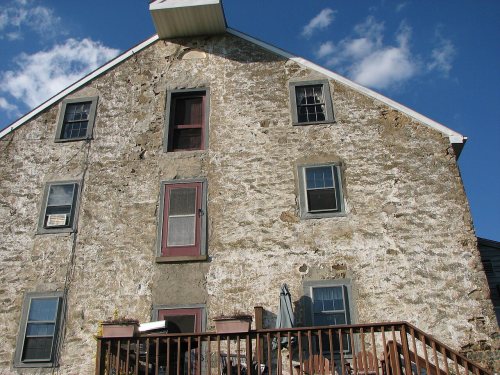
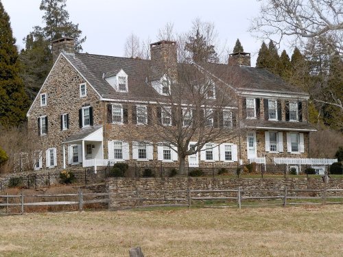
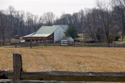
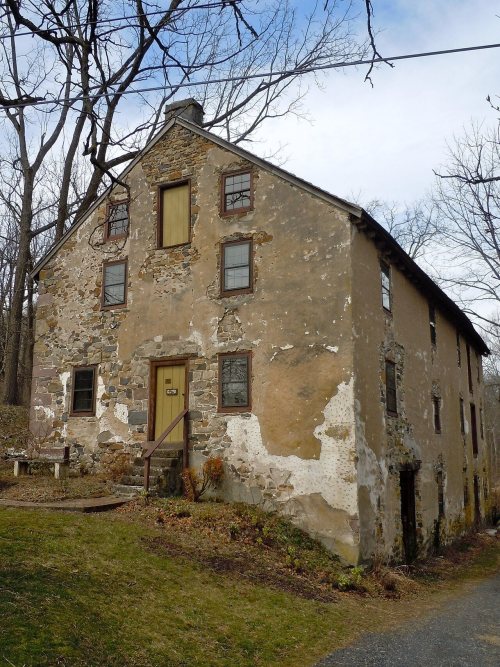
10 listings protect 62 historic buildings
The country’s official list of buildings and places worth saving.
National Park Service, National Register of Historic Places. Photos from Wikimedia Commons, credited on each place’s page.
The story so far
Warwick Township, in brief
Wikipedia doesn’t have a history of Warwick Township yet. The photos, dates and memories neighbors add here are how it gets written.
Warwick is an unincorporated community in northwestern Chester County, Pennsylvania, United States. It is located in Warwick Township just west of its municipal building. Routes 23 and 345 meet in the village, which serves as a gateway to French Creek State Park. Warwick is drained by the French Creek eastward into the Schuylkill River. It is served by the Elverson post office, which uses the zip code of 19520. [1] The community was named after Warwick, England, the ancestral home of an early settler.
Its first post office opened in 1868. Between the 2010 and 2020 censuses its population grew from 2,507 to 2,590 (+3%).
Intro from Wikipedia. Population: U.S. Census Bureau.
From the old history books
What they wrote about Warwick Township in 1898
Passages that mention Warwick Township, cut from the printed page as they were published.
A history of the Coventry Brethren church in Chester county, Pennsylvania, the second oldest Brethren church in America1898 · page 36Read the page →
Read the text
Rev. David Keim at one time lived in Coventry Township, Chester County, but in 1845 he moved to Warwick Township, and soon commenced building up a Brethren interest there. His labors were blessed, and he lived to see the interest grow and develop into the present Harmonyville Church, with its fine, commodious meeting-house. He was a bishop in the Brethren Church.
Text read by machine from the scan; it may contain errors.
Scans and text from the Internet Archive. Books published in 1930 or earlier, which are in the public domain.
Timeline
Warwick Township, 1824 to 1935
Woven from the archive, old maps, post office records, the National Register and the people born here.
Nothing in the archives for these yearsWeddings on Main Street, storms, parades, school pictures, the old store. If it’s in your family album, it belongs here.
Every edition of the U.S. Geological Survey’s map of Warwick Township. Tap a year, or press play to watch the town change.
1905Honey Brook sheet · 1:62,500
U.S. Geological Survey historical topographic maps (public domain), via Esri’s collection of the scans. The red ring marks the center of Warwick Township.
Then & now
Stand where they stood
No then-and-now pairs yet. Take a photo from the same spot as an old one and they appear here side by side.
Retake this viewWarwick PA Presby of Neshaminy PHS622, 1923
Find the spot, match the angle, and add your photo. It becomes the first then-and-now pair on Warwick Township’s page.
The Warwick Township post office opened in 1868, the earliest record of the town by name (U.S. post office records).
How does Warwick Township rank for history?
Warwick Township is more historic than 83% of U.S. towns, #281 of 1,035 in Pennsylvania. The History grade combines the town’s founding era, the share of homes built before 1940 and its National Register listings. It’s a character grade, so it isn’t part of the overall grade. How it works.
What is on the National Register in Warwick Township?
10 listings: 8 buildings, among them the Philip Rogers House (listed 1973, the first), and 2 historic districts, the Warwick Furnace/Farms and the St. Peters Village Historic District, with 43 contributing buildings. 62 historic buildings in all.
How old are the homes in Warwick Township?
32% of Warwick Township’s homes were built before 1940 (Census estimate, ±6.0 points), against a typical 18% for a Pennsylvania town; the median home was built in 1966.
Founding dates: Wikidata, Wikipedia, the U.S. post office records of Blevins & Helbock (CC0) and the Census. Homes by year built: Census ACS 2020–24. National Register of Historic Places: National Park Service (list of May 22, 2026). Old photos, postcards and papers: Wikimedia Commons, the Library of Congress and other public archives, credited on each item’s page. Maps: U.S. Geological Survey historical topographic maps (via Esri) and Sanborn fire-insurance maps (Library of Congress). History text and census tables: Wikipedia (CC BY-SA 4.0). Places that used to be: USGS Geographic Names Information System (2021).
From Wikimedia Commons (1), Wikidata (1), the National Register of Historic Places (10), U.S. Geological Survey historical maps, the US Post Offices dataset (Blevins & Helbock), the USGS Geographic Names Information System and old county and town histories (Internet Archive). Archive images are copied here with their credits and licenses, shown on each photo’s page. Refreshed monthly.