
Upper Turkeyfoot TownshipPA
A town of 1,036.
Is Upper Turkeyfoot Township a good place to live?
The best of Upper Turkeyfoot Township’s subject grades are an A for cost of living and schools; the weakest is a D for walkability. The biggest park or preserve is Forbes State Forest, at 1,815 acres. Upper Turkeyfoot Township has fewer than 2,500 residents, so it gets subject grades but no overall grade.
What makes Upper Turkeyfoot Township stand out
Where Upper Turkeyfoot Township beats most towns.
1,036 people, and everyone knows the way
In a town this size, neighbors are the best guide. Ask them anything.
How Upper Turkeyfoot Township grades
Each subject compared with towns across the country (schools within Pennsylvania), ordered by how far Upper Turkeyfoot Township is from typical.
How TownRatings grades towns →
Fallingwater and 21 more within 40 miles
Museums, parks, gardens and other places to visit around Upper Turkeyfoot Township. Close and well known come first.
 Big draw10 mi MuseumFallingwater
 Big draw22 mi National MemorialFlight 93 National Memorial286K visitors a year
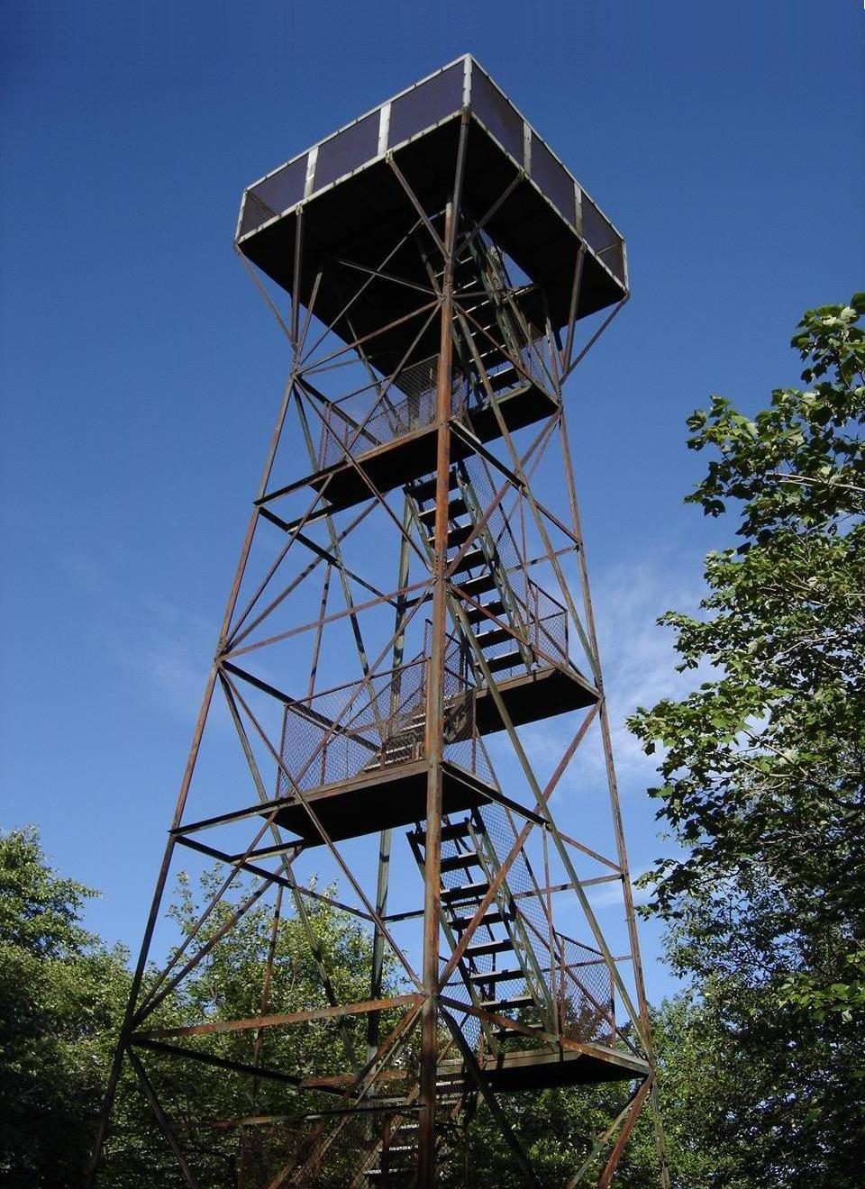 10 mi MountainMount Davis
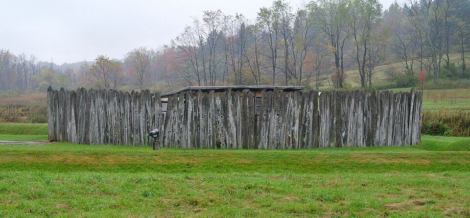 16 mi National BattlefieldFort Necessity National Battlefield226K visitors a year
 39 mi Stadium & arenaMountaineer Field at Milan Puskar Stadium
 27 mi LakeDeep Creek Lake
Photo credits
Fallingwater: Carol M. Highsmith, Public domain · Flight 93 National Memorial: James Steakley, CC BY-SA 3.0 · Mount Davis: Wikiuser100, CC BY-SA 3.0 · Fort Necessity National Battlefield: Wilson44691, CC0 · Mountaineer Field at Milan Puskar Stadium: Quintin Soloviev, CC BY 4.0 · Deep Creek Lake: Gohens84, CC BY-SA 3.0


Moving to Upper Turkeyfoot Township: who provides what
Who provides power, water and the rest in Upper Turkeyfoot Township, and how to reach them.
EPA SDWIS (Oct 9, 2026) · HIFLD + EIA-861 2025 · Census 2020 ZCTAs · NCES 2024–25 · registration: vote.gov, updated Nov 18, 2024.
The data
Ordered by what stands out in Upper Turkeyfoot Township.
Upper Turkeyfoot Township has a very low natural-hazard risk, chiefly from inland flooding
The risk rating from FEMA for Upper Turkeyfoot Township comes to 18 of 100, against 30 of 100 in Pennsylvania’s towns and 44 of 100 across U.S. towns. Just over four fifths of the town’s expected losses from natural hazards come from inland flooding. Since 1986, 3 flood insurance claims have been paid out in the town.
FEMA flood insurance claims · FEMA National Risk Index · OpenFEMA
With only 0.1 jobs per working resident, most people in Upper Turkeyfoot Township work out of town
The share of working residents in Upper Turkeyfoot Township who work locally: 1.4%. The average trip to work for Upper Turkeyfoot Township comes to 29 minutes, where Pennsylvania’s towns sit at 26 minutes and U.S. towns at 25 minutes. Half the trips to work are shorter than 16 miles. The top destinations are Somerset (16%), Somerset Township (9%) and Rockwood (5%).
| Upper Turkeyfoot Township | Pennsylvania towns | U.S. towns | |
|---|---|---|---|
| Average trip to work | 29 minutes | 26 minutes | 25 minutes |
| Below the poverty line | 4.8% | 7.6% | 9.6% |
| Working residents who work in town | 1.4% | 6.3% | 8% |
| Median household income | $75,000 | $81,000 | $80,000 |
Where working residents work
Census LEHD 2023 · ACS
Health in Upper Turkeyfoot Township trails 71% of U.S. towns
In Upper Turkeyfoot Township, 13% of adults have diabetes. Among adults in the town, 16% report frequent physical distress and 39% have high blood pressure.
| Upper Turkeyfoot Township | Pennsylvania towns | U.S. towns | |
|---|---|---|---|
| Smoke cigarettes (CDC PLACES) | 19% | 17% | 14% |
| Frequent physical distress (CDC PLACES) | 16% | 14% | 14% |
| High blood pressure (CDC PLACES) | 39% | 34% | 35% |
| Diabetes (CDC PLACES) | 13% | 11% | 12% |
| What stands out | Upper Turkeyfoot Township | PA |
|---|---|---|
| More adults with COPD | 10.7% | 7.7% |
| More adults with heart disease | 10% | 7.4% |
| More adults with arthritis | 38.8% | 30.4% |
CDC PLACES 2025 · modeled estimates for adults · CMS · HRSA
Expect snowy winters and pleasant summers in Upper Turkeyfoot Township
The July high in the town is 80°F.
Typical low → high °F
NOAA U.S. Climate Normals, 1991–2020
9.6% of the land in Upper Turkeyfoot Township is protected from building
Upper Turkeyfoot Township’s trail density stands at 0.1 miles per square mile. Across 3 parks and preserves: 4.2 miles of trail.
| Upper Turkeyfoot Township | Pennsylvania towns | U.S. towns | |
|---|---|---|---|
| Miles of trail per square mile | 0.1 miles per square mile | 0.4 | 0.4 |
| Conserved land | 9.6% | 8.2% | 4.3% |
| Biggest places to walk | Trails | Acres |
|---|---|---|
| 1. Laurel Ridge State Park | 1.1 mi | 107 |
| 2. Forbes State Forest | — | 1,815 |
| 3. State Game Lands Number 111 | — | 382 |
Trails & parks © OpenStreetMap contributors · Conserved land: USGS PAD-US
Everything we know about Upper Turkeyfoot Township
Colleges nearby
None within 15 miles of Upper Turkeyfoot Township; the nearest are
About 3 of every 100 Upper Turkeyfoot Township residents are enrolled in college, against 6 across Pennsylvania.
99% of working residents leave Upper Turkeyfoot Township for work
Where Upper Turkeyfoot Township’s working residents go each day. Line width shows the share.
Census LEHD 2023
About Upper Turkeyfoot Township
Township in Pennsylvania, US
Upper Turkeyfoot Township is a township in Somerset County, Pennsylvania, United States. The population was 1,063 at the 2020 census. It is part of the Johnstown, Pennsylvania metropolitan statistical area.
From Wikipedia, licensed CC BY-SA 4.0 · facts via Wikidata (CC0)
- Area
- 39 sq mi
Questions about Upper Turkeyfoot Township
Short answers, built from the data on this page.
Is Upper Turkeyfoot Township, PA expensive?
Not for the area. Cost of living, which also weighs rents, property taxes and how many households pay 30% or more of their income for housing, grades A.