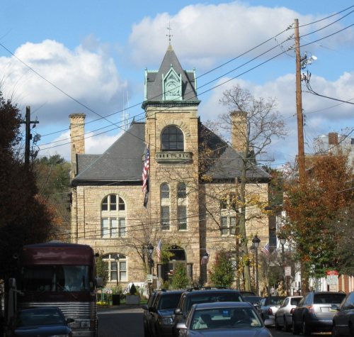
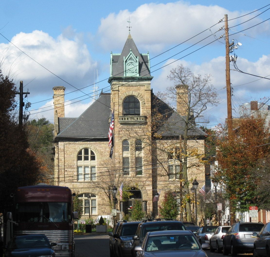
227 years in pictures
Census counts: 407 in 1840, 5,927 in 2020. The archive holds 18 old photos and papers going back to 1884 and 7 maps from 1891 on.
4 places on the National Register of Historic Places.
- 1799Stroudsburg is laid out
Each edition grades its towns against each other only.

A town of 5,809, laid out in 1799.
Stroudsburg's standout: it is among the most walkable places in the country. Overall it grades C, ranked 914th of 1032 in Pennsylvania. 8% of its land is conserved. Its weakest subject is cost of living: the typical home is worth about $353K, 4.2 years of the East Stroudsburg area’s $84K median household income. History is its standout character grade: an A+, better than 98% of U.S. towns, with 4 places on the National Register. Stroudsburg’s average trip to work is 54 minutes, where Pennsylvania’s towns sit at 26 minutes and U.S. towns at 25 minutes. On history, just 97 of Pennsylvania’s 1,749 towns do better.
Where Stroudsburg beats most towns.
Census counts: 407 in 1840, 5,927 in 2020. The archive holds 18 old photos and papers going back to 1884 and 7 maps from 1891 on.
4 places on the National Register of Historic Places.
Each subject compared with towns across the country (schools within Pennsylvania), ordered by how far Stroudsburg is from typical.
Its grades run from A+ for walkability (better than 99% of comparable towns) to D for cost of living (better than 15%), so the C overall blends very different results.
How TownRatings grades towns →
Museums, parks, gardens and other places to visit around Stroudsburg. Close and well known come first.
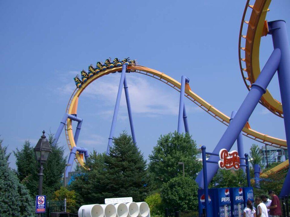
33 mi Theme parkDorney Park & Wildwater Kingdom
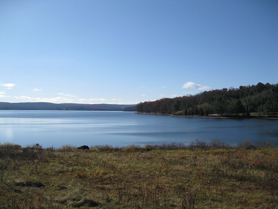
3 mi National park siteMiddle Delaware National Scenic River4.1M visitors a year
27 mi LakeLake Musconetcong
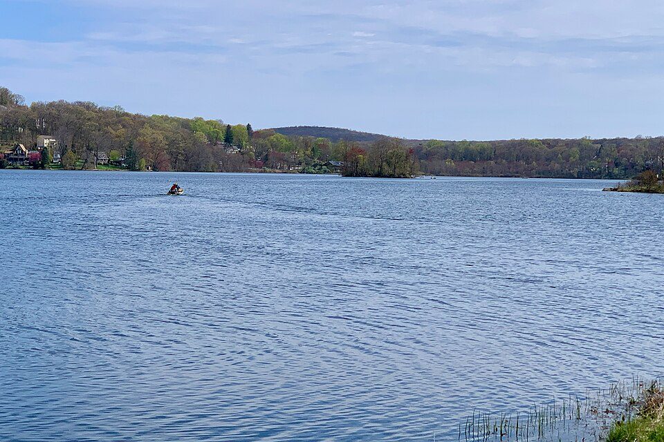
30 mi LakeLake Wallenpaupack
10 mi Ski areaCamelback Mountain Resort37 runs · 804 ft vertical
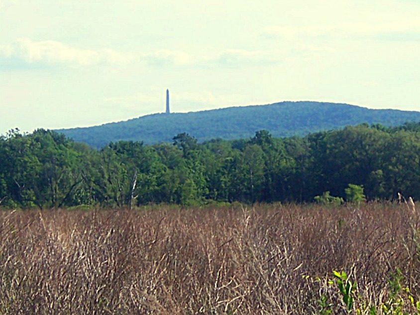
36 mi MountainHigh PointDorney Park & Wildwater Kingdom: Coasterman1234 at en.wikipedia, CC BY-SA 3.0 · Middle Delaware National Scenic River: Mike Serfas, Public domain · Lake Musconetcong: Zeete, CC BY-SA 4.0 · Lake Wallenpaupack: Doug Kerr from Albany, NY, United States, CC BY-SA 2.0 · Camelback Mountain Resort: Calzarette at en.wikipedia, Public domain · High Point: Daniel Case, CC BY-SA 3.0
Who provides power, water and the rest in Stroudsburg, and how to reach them.
EPA SDWIS (Oct 9, 2026) · HIFLD + EIA-861 2025 · Census 2020 ZCTAs · NCES 2024–25 · registration: vote.gov, updated Nov 18, 2024.
Ordered by what stands out in Stroudsburg.
Stroudsburg draws workers from Stroud Township and beyond and is healthier than towns with similar incomes, but it carries more natural-hazard risk than most of Pennsylvania (mostly inland flooding).
3,617 jobs are based in Stroudsburg, 1.5 for every working resident, so most of the people who work here commute in. 22% of working residents cross a state line to work, New York City among the top destinations.
Most working residents leave Stroudsburg for work: only 13% work in town. 12% of residents live below the poverty line in Stroudsburg. Since 2013, Stroudsburg has lost 253 jobs, to 3,617 in 2023.
| Stroudsburg | Pennsylvania towns | U.S. towns | |
|---|---|---|---|
| Working residents who work in town | 13% | 6.3% | 8% |
| Below the poverty line | 12% | 7.6% | 9.6% |
| Median household income | $67,000 | $81,000 | $80,000 |
Census LEHD 2023 · ACS
Its public schools are run by Stroudsburg Area SD. Its two schools are below. The largest public high school is Stroudsburg HS, with 1,196 students.
| School | Level | Students | Letter |
|---|---|---|---|
| B F Morey El SchLargest public elementary schoolGrades K–4 | Grades K–4 | 228 | C |
| Stroudsburg HSLargest public high schoolGrades 10–12 | Grades 10–12 | 1,196 | B |
NCES · EDFacts · graded within PA on state tests and graduation
1.0 miles of trail in 6 parks and preserves.
| Stroudsburg | Pennsylvania towns | U.S. towns | |
|---|---|---|---|
| Miles of trail per square mile | 0.6 miles per square mile | 0.4 | 0.4 |
| Conserved land | 8.2% | 8.2% | 4.3% |
| Biggest places to walk | Trails | Acres |
|---|---|---|
| 1. Glen Park | 0.1 mi | 13 |
| 2. Rotary Creek Park | — | 7 |
| 3. Stroudsburg Borough Park | — | 5 |
Trails & parks © OpenStreetMap contributors · Conserved land: USGS PAD-US
FEMA rates its natural-hazard risk higher than 92% of Pennsylvania towns, with expected losses of about $658 per resident a year; that rating is what its C− for hazard risk is built on.
The FEMA risk score in Stroudsburg is 71 of 100. Since 1996, 17 flood insurance claims have been paid out in Stroudsburg.
FEMA flood insurance claims · FEMA National Risk Index · OpenFEMA
67.7% of renter households pay 30% or more of their income for housing, against 48.2% across Pennsylvania.
42% of Stroudsburg households own their home. The typical Stroudsburg home is worth about $353,000, up 3.3% in a year, 23% above the Pennsylvania typical home. Stroudsburg’s median rent is $1,565 a month.
| Stroudsburg | Pennsylvania towns | U.S. towns | |
|---|---|---|---|
| Households that own their home | 42% | 78% | 73% |
| Median rent | $1,565 a month | $1,114 a month | $1,185 a month |
Census ACS, 2020–24 · Zillow Home Value Index · Redfin Data Center
Stroudsburg has chilly, snowy winters and warm summers, with plenty of rain. July afternoons reach 84°, January nights drop to 18° and about 42 inches of snow falls in a winter.
NOAA U.S. Climate Normals, 1991–2020
Only 42% of households own their home, against 69.3% across Pennsylvania.
People 65 and older are 28% of residents (20% statewide); children under 18 are 15% of residents (21% statewide). Stroudsburg has lost 2.1% of its people since 2020, down to 5,809 in the Census Bureau’s 2025 estimate. 29% of adults 25 and older have a bachelor’s degree or more, vs 35% across Pennsylvania.
| Stroudsburg | Pennsylvania towns | U.S. towns | |
|---|---|---|---|
| Under 18 | 15% | 20% | 22% |
| Median age | 44.5 years | 43.2 years | 40.5 years |
48% women, 52% men
That’s an even split within the survey’s margin of ±5.4 points. Across Pennsylvania, 50.7% of residents are women.
| Stroudsburg | PA | U.S. | |
|---|---|---|---|
| Under 10 | 6.8% | 10.8% | 11.6% |
| 10 to 17 | 8.5% | 9.7% | 10.3% |
| 18 to 24 | 6.2% | 9% | 9.1% |
| 25 to 34 | 14.2% | 13% | 13.7% |
| 35 to 44 | 15% | 12.6% | 13.2% |
| 45 to 54 | 10.8% | 11.9% | 12.2% |
| 55 to 64 | 10.9% | 13.6% | 12.7% |
| 65 to 74 | 17.9% | 11.4% | 10.2% |
| 75 and older | 9.7% | 8.1% | 7% |
| No diploma | 13.9% | 7.9% | 10.4% |
| High school | 27.7% | 32.9% | 26% |
| Some college | 18.4% | 15.1% | 19.1% |
| Associate’s | 11% | 8.9% | 8.8% |
| Bachelor’s | 17.2% | 20.9% | 21.6% |
| Graduate | 11.8% | 14.3% | 14.1% |
Census population estimates, 2025 · U.S. Census Bureau · ACS 2020-2024 5-year estimates
Against the 10,156 U.S. towns with household incomes like Stroudsburg’s, it is healthier than 69%, so its B− isn’t only a matter of income.
Stroudsburg beats the Pennsylvania average on 0 of 26 CDC measures and trails it on 1.
| Stroudsburg | Pennsylvania towns | U.S. towns | |
|---|---|---|---|
| Sleep under 7 hours (CDC PLACES) | 42% | 38% | 36% |
| Obesity (CDC PLACES) | 37% | 35% | 35% |
| Binge drink (CDC PLACES) | 18% | 18% | 16% |
| No health insurance, 18–64 (CDC PLACES) | 9% | 6.9% | 8.1% |
| What stands out | Stroudsburg | PA |
|---|---|---|
| More uninsured adults | 9% | 5.8% |
CDC PLACES 2025 · modeled estimates for adults · CMS · HRSA
1 within 15 miles of the center of Stroudsburg
About 5 of every 100 Stroudsburg residents are enrolled in college, about the same as Pennsylvania.
Where Stroudsburg’s working residents go each day. Line width shows the share.
Census LEHD 2023
4 places in Stroudsburg on the National Register of Historic Places.
Borough in Pennsylvania, US
Stroudsburg is a borough in and the county seat of Monroe County, Pennsylvania, United States. It lies within the Poconos region approximately five miles (8 km) from the Delaware Water Gap at the confluence of Brodhead Creek, McMichaels, and Pocono Creeks in Northeastern Pennsylvania. Stroudsburg is part of the East Stroudsburg, PA Metropolitan Statistical Area, which in turn is part of the New York combined statistical area. The population was 5,927 at the 2020 census.
From Wikipedia, licensed CC BY-SA 4.0 · facts via Wikidata (CC0)
3 towns share a border with Stroudsburg.
| Town | PA rank | Overall | Cost | Safety | Schools | Health |
|---|---|---|---|---|---|---|
| Stroudsburg | #914 | C | D | — | B− | B− |
| Stroud Township | #800 | C+ | C− | — | B− | B− |
| Arlington Heights | — | — | — | — | — | — |
| East Stroudsburg | #888 | C | C− | — | C+ | B |
Stroudsburg, Stroud Township and East Stroudsburg report no FBI crime data of their own. Arlington Heights isn’t graded (fewer than 1,000 residents, or not enough data). Compare Stroudsburg with a neighbor →
Short answers, built from the data on this page.
Stroudsburg grades C overall, better than 26% of U.S. towns and #914 of 1032 in Pennsylvania. It grades B− for health and B− for schools. Cost of living is its weak spot, with a D.
Yes. Cost of living, which also weighs rents, property taxes and how many households pay 30% or more of their income for housing, grades D.