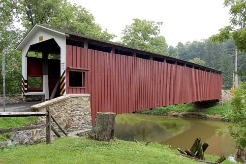
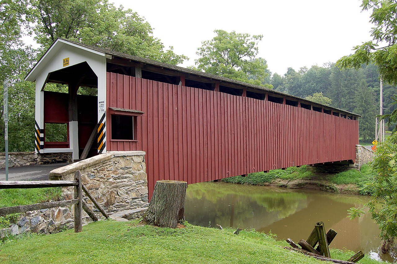
203 years in pictures
Census counts: 2,118 in 1980, 3,883 in 2020. The archive holds 7 old photos and papers going back to 1850 and 6 maps from 1912 on.
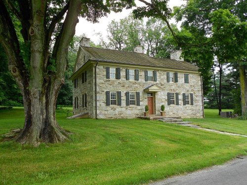
3 places on the National Register of Historic Places.
- 1823Colerain Township is settled
Each edition grades its towns against each other only.

Home to 3 places on the National Register of Historic Places.
Colerain Township is a solid, middle-of-the-road choice. It grades C overall, ranked 874th of 1032 in Pennsylvania, with no subject far below average. Its best mark is incomes: the median household earns $83K. Its lowest everyday mark is in health: CDC estimates put its residents' health behind 68% of the country. A typical home there costs about $353K, 4.1 years of the Lancaster metro’s $87K median household income. 31% of the land in Colerain Township is conserved, against 8.2% in Pennsylvania’s towns and 4.3% across U.S. towns. Its National Register listings include White Rock Forge Covered Bridge and Andrews Bridge Historic District. Only 4 of the 1,035 Pennsylvania towns we compare have a higher share of children under 18 than Colerain Township.
Where Colerain Township beats most towns.
Where Colerain Township’s working residents go each day. Line width shows the share.
Census LEHD 2023
Each subject compared with towns across the country (schools within Pennsylvania), ordered by how far Colerain Township is from typical.
How TownRatings grades towns →
Census counts: 2,118 in 1980, 3,883 in 2020. The archive holds 7 old photos and papers going back to 1850 and 6 maps from 1912 on.
3 places on the National Register of Historic Places.
Who provides power, water and the rest in Colerain Township, and how to reach them.
EPA SDWIS (Oct 9, 2026) · HIFLD + EIA-861 2025 · Census 2020 ZCTAs · NCES 2024–25 · registration: vote.gov, updated Nov 18, 2024.
Ordered by what stands out in Colerain Township.
Colerain Township keeps more of its land conserved than most of Pennsylvania and has added a third more jobs in ten years.
Its 5,698 conserved acres are a larger share of the town than in 91% of Pennsylvania towns.
7.2 miles of trail in 4 parks and preserves. The biggest park or preserve is Octoraro Lake Watershed, at 1,094 acres.
| Biggest places to walk | Trails | Acres |
|---|---|---|
| 1. Theodore A. Parker III Natural Area | 1.2 mi | 70 |
| 2. Octoraro Lake Watershed | 0.7 mi | 1,094 |
| 3. State Game Lands Number 136 | 0.5 mi | 91 |
Trails & parks © OpenStreetMap contributors · Conserved land: USGS PAD-US
Its public schools are run by Solanco SD. Its one school is below.
| School | Level | Students | Letter |
|---|---|---|---|
| Bart-Colerain El SchLargest public elementary schoolGrades K–5 | Grades K–5 | 197 | A− |
NCES · EDFacts · graded within PA on state tests and graduation
Jobs based here grew from 363 in 2013 to 503.
Most working residents leave Colerain Township for work: only 12% work in town. Jobs based in Colerain Township grew to 503 in 2023, 140 more than in 2013. The top destinations are Lancaster (4%), East Drumore Township (3%) and Bart Township (3%).
| Colerain Township | Pennsylvania towns | U.S. towns | |
|---|---|---|---|
| Working residents who work in town | 12% | 6.3% | 8% |
| Below the poverty line | 11% | 7.6% | 9.6% |
| Average trip to work | 26 minutes | 26 minutes | 25 minutes |
Census LEHD 2023 · ACS
20% of Colerain Township adults smoke cigarettes, where Pennsylvania’s towns sit at 16% and U.S. towns at 14%. 19% of Colerain Township adults report frequent mental distress. Colerain Township beats the Pennsylvania average on 0 of 26 CDC measures and trails it on 9.
| Colerain Township | Pennsylvania towns | U.S. towns | |
|---|---|---|---|
| Smoke cigarettes (CDC PLACES) | 20% | 16% | 14% |
| Frequent mental distress (CDC PLACES) | 19% | 16% | 17% |
| Depression (CDC PLACES) | 26% | 24% | 23% |
| Sleep under 7 hours (CDC PLACES) | 39% | 38% | 36% |
| What stands out | Colerain Township | PA |
|---|---|---|
| More uninsured adults | 10.2% | 5.8% |
| More older adults who have lost all their teeth | 18.5% | 14.5% |
| More smokers | 20.1% | 15.8% |
CDC PLACES 2025 · modeled estimates for adults · CMS · HRSA
Colerain Township has chilly winters and warm summers, with plenty of rain. July afternoons reach 86°, January nights drop to 22° and about 18 inches of snow falls in a winter.
NOAA U.S. Climate Normals, 1991–2020
Expected storm and flood damage is lower than in 58% of U.S. communities. One flood insurance claim has been paid in Colerain Township since 2004.
FEMA flood insurance claims · FEMA National Risk Index · OpenFEMA
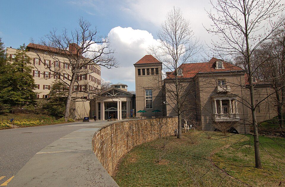
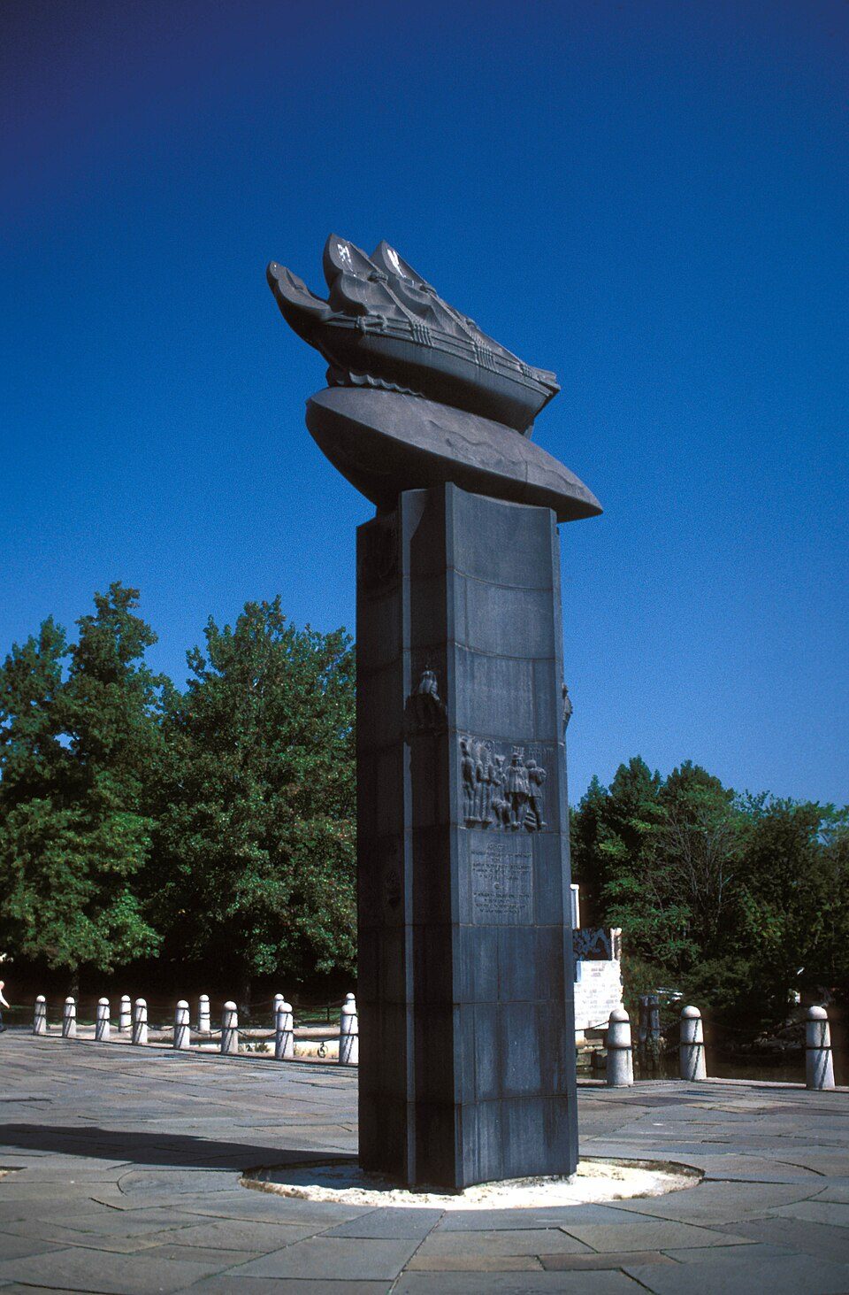
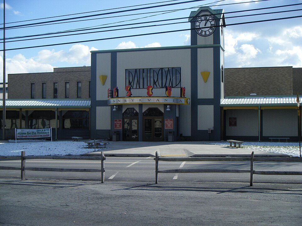
Museums, parks, gardens and other places to visit around Colerain Township. Close and well known come first.
21 mi GardenLongwood Gardens
14 mi Theme parkDutch Wonderland
25 mi MuseumWinterthur Museum, Garden and Library
37 mi Stadium & arenaSubaru Park
29 mi LandmarkFort Christina
10 mi MuseumRailroad Museum of PennsylvaniaLongwood Gardens: P. Hughes, CC BY-SA 4.0 · Dutch Wonderland: FlugKerl2, CC BY-SA 3.0 · Winterthur Museum, Garden and Library: Photo by and (c)2007 Derek Ramsey (Ram-Man), CC BY-SA 2.5 · Subaru Park: Something Original (talk), CC BY-SA 3.0 · Fort Christina: Jerrye & Roy Klotz MD, CC BY-SA 3.0 · Railroad Museum of Pennsylvania: Dough4872, Public domain
2 within 15 miles of the center of Colerain Township
About 1 of every 100 Colerain Township residents are enrolled in college, against 6 across Pennsylvania.
3 places in Colerain Township on the National Register of Historic Places.
Township in Pennsylvania, US
Colerain Township is a township in southeastern Lancaster County, Pennsylvania, United States. The population was 3,883 at the 2020 census, an increase over the figure of 3,635 tabulated in 2010. It is part of the Solanco School District. Colerain Township was organized as a township in 1738. It was settled mainly by the Irish and was named after Coleraine, a seaport town in County Londonderry, now in Northern Ireland. Records show that Presbyterian Scots and Scotch-Irish also moved into Colerain Township very early into its settlement. According to the 2020 "ACS 5-Year Estimates Data Profiles", 61.8% of the township's population spoke only English, while 38.1 spoke an "other [than Spanish]…
From Wikipedia, licensed CC BY-SA 4.0 · facts via Wikidata (CC0)
7 towns share a border with Colerain Township.
| Town | PA rank | Overall | Cost | Safety | Schools | Health |
|---|---|---|---|---|---|---|
| Colerain Township | #874 | C | C+ | — | C+ | C |
| East Drumore Township | #934 | C− | C− | — | C+ | C+ |
| Upper Oxford Township | #469 | B+ | C+ | — | B | B+ |
| Little Britain Township | #971 | C− | C− | — | C+ | C |
| Lower Oxford Township | #594 | B | C | — | B | B |
| Bart Township | #818 | C+ | C+ | — | C+ | C+ |
| Sadsbury Township | #868 | C | C+ | — | C+ | C+ |
| Eden Township | — | — | C | — | C+ | C+ |
Eden Township has fewer than 2,500 residents, so it gets subject grades but no overall grade. Colerain Township, East Drumore Township, Upper Oxford Township, Little Britain Township, Lower Oxford Township, Bart Township, Sadsbury Township and Eden Township report no FBI crime data of their own. Compare Colerain Township with a neighbor →
Short answers, built from the data on this page.
Colerain Township grades C overall, better than 30% of U.S. towns and #874 of 1032 in Pennsylvania. It grades C for health and C+ for schools.
Cost of living, which also weighs rents, property taxes and how many households pay 30% or more of their income for housing, grades C+.
2 notable people were born here, including William Cameron Sproul and Marriott Henry Brosius.