Armagh Township in pictures
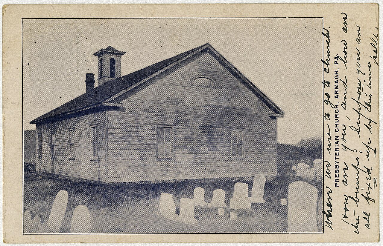
Census counts: 152 in 1850, a peak of 192 in 1960, 102 in 2020. The archive holds 2 old photos and papers going back to 1923 and 5 maps from 1941 on.
Explore the history →Each edition grades its towns against each other only.
A town of 4,088.
Armagh Township gives you more for your money than most places: homes are within reach, about $141K for a typical one, or 2.2 years of the Lewistown area’s $64K median household income. It grades C+ overall, 759th of 1032 graded towns in Pennsylvania. The low prices come with trade-offs. Residents are less healthy than 87% of U.S. towns on CDC estimates. On the plus side, it reports less crime per resident than 92% of U.S. towns. 55% of the land in Armagh Township is conserved, above both the Pennsylvania town median (8.2%) and the median of U.S. towns (4.3%). Only 95 of Pennsylvania’s 1,749 towns score lower on walkability. The biggest place to walk is Bald Eagle State Forest, 29,409 acres with 70.8 miles of trail.
Where Armagh Township beats most towns.
54.5% of the town is conserved land, across 7 parks and preserves.
Each subject compared with towns across the country (schools within Pennsylvania), ordered by how far Armagh Township is from typical.
How TownRatings grades towns →
Census counts: 152 in 1850, a peak of 192 in 1960, 102 in 2020. The archive holds 2 old photos and papers going back to 1923 and 5 maps from 1941 on.
Explore the history →Who provides power, water and the rest in Armagh Township, and how to reach them.
EPA SDWIS (Oct 9, 2026) · HIFLD + EIA-861 2025 · Census 2020 ZCTAs · NCES 2024–25 · registration: vote.gov, updated Nov 18, 2024.
Ordered by what stands out in Armagh Township.
Armagh Township keeps more of its land conserved than most of Pennsylvania and trades workers with Derry Township and other neighbors, but it carries more natural-hazard risk than most of Pennsylvania (mostly inland flooding).
Its 32,309 conserved acres are a larger share of the town than in 99% of Pennsylvania towns.
87 miles of trail in 7 parks and preserves. At 0.9 miles per square mile, Armagh Township’s trail density is above both Pennsylvania’s towns (0.4) and U.S. towns (0.4).
| Biggest places to walk | Trails | Acres |
|---|---|---|
| 1. Bald Eagle State Forest | 70.8 mi | 29,409 |
| 2. Penns Creek Wild Area | 5.5 mi | 2,238 |
| 3. Rothrock State Forest | 4.5 mi | 1,856 |
Trails & parks © OpenStreetMap contributors · Conserved land: USGS PAD-US
One of its 6 schools is below, with why it’s listed.
| School | Level | Students | Letter |
|---|---|---|---|
| Back Mountain Amish School PrivateLargest elementary schoolGrades 1–8 | Grades 1–8 | 31 | – |
NCES · EDFacts · graded within PA on state tests and graduation
Violent crime is rare: 3 reported in 2025, 0.7 per 1,000 residents.
FBI crime data, 2025 · crimes reported to police
23% of adults smoke cigarettes in Armagh Township. Armagh Township beats the Pennsylvania average on 0 of 26 CDC measures and trails it on 13. 31% of adults get no exercise outside work in Armagh Township.
| Armagh Township | Pennsylvania towns | U.S. towns | |
|---|---|---|---|
| Smoke cigarettes (CDC PLACES) | 23% | 16% | 14% |
| Frequent physical distress (CDC PLACES) | 17% | 14% | 14% |
| Fair or poor health (CDC PLACES) | 25% | 19% | 19% |
| Get no exercise (CDC PLACES) | 31% | 24% | 25% |
| What stands out | Armagh Township | PA |
|---|---|---|
| More uninsured adults | 9.6% | 5.8% |
| More adults with COPD | 11.7% | 7.7% |
| More smokers | 22.7% | 15.8% |
CDC PLACES 2025 · modeled estimates for adults · CMS · HRSA
Armagh Township has chilly, snowy winters and pleasant summers. Armagh Township’s July high is 81°F.
NOAA U.S. Climate Normals, 1991–2020
FEMA rates its natural-hazard risk higher than 90% of Pennsylvania towns, with expected losses of about $429 per resident a year; that rating is what its C for hazard risk is built on.
The FEMA risk score in Armagh Township is 67 of 100. Since 1979, 41 flood insurance claims have been paid out in Armagh Township.
FEMA flood insurance claims · FEMA National Risk Index · OpenFEMA
Armagh Township has about as many jobs (1,451) as working residents, but only 210 people both live and work here. Jobs based here grew from 991 in 2013 to 1,451.
Most working residents leave Armagh Township for work: only 12% work in town. 21% of Armagh Township residents live below the poverty line. Jobs based in Armagh Township grew to 1,451 in 2023, 460 more than in 2013.
| Armagh Township | Pennsylvania towns | U.S. towns | |
|---|---|---|---|
| Below the poverty line | 21% | 7.6% | 9.6% |
| Average trip to work | 31 minutes | 26 minutes | 25 minutes |
| Working residents who work in town | 12% | 6.3% | 8% |
| Median household income | $74,000 | $81,000 | $80,000 |
Census LEHD 2023 · ACS
Museums, parks, gardens and other places to visit around Armagh Township. Close and well known come first.
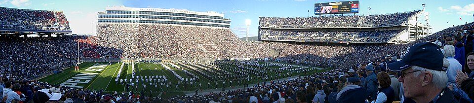
Big draw20 mi Stadium & arenaBeaver Stadium
36 mi LakeRaystown Lake
20 mi Stadium & arenaBryce Jordan Center
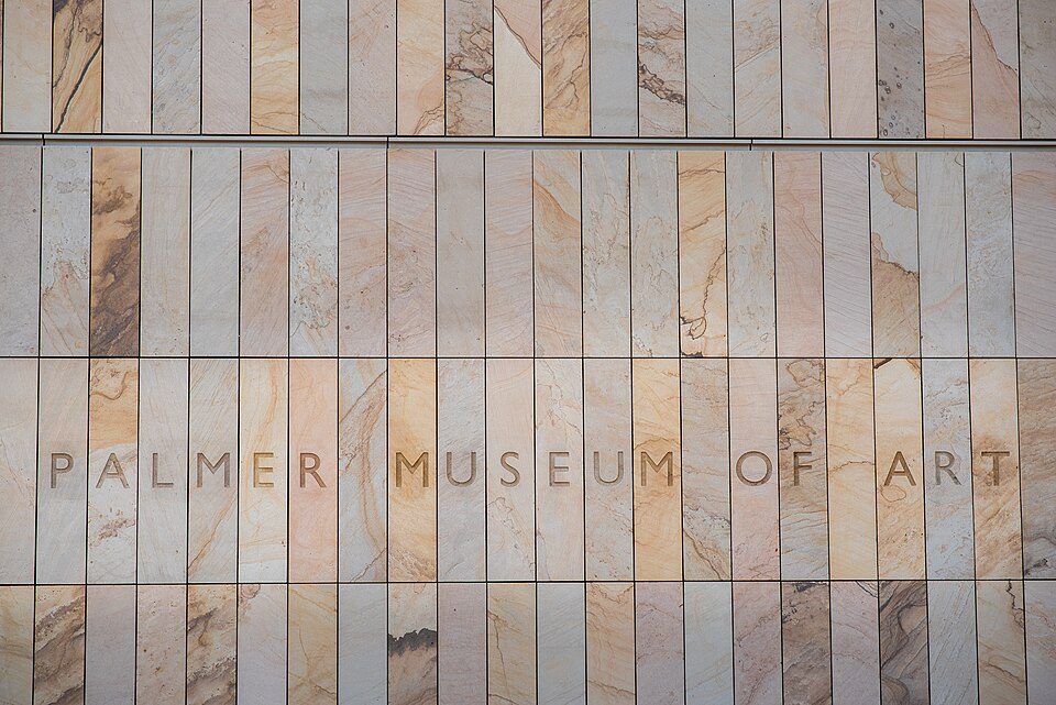
20 mi MuseumPalmer Museum of Art
37 mi MuseumFort Augusta
16 mi MuseumPennsylvania Military MuseumBeaver Stadium: Sbvr6 (talk), CC BY-SA 3.0 · Raystown Lake: Tex Jobe, U.S. Army Corps of Engineers, Public domain · Bryce Jordan Center: Robert J. La Verghetta, CC BY-SA 3.0 · Palmer Museum of Art: PalmerMuseumofArt, CC BY-SA 4.0 · Fort Augusta: Unknown authorUnknown author, Public domain · Pennsylvania Military Museum: Robert J. La Verghetta, CC BY-SA 3.0
None within 15 miles of Armagh Township; the nearest are
About 5 of every 100 Armagh Township residents are enrolled in college, about the same as Pennsylvania.
8 towns share a border with Armagh Township.
Potter Township next door grades higher for schools (A− to Armagh Township’s C) and lower for cost of living (C+ to A).
| Town | PA rank | Overall | Cost | Safety | Schools | Health |
|---|---|---|---|---|---|---|
| Armagh Township | #759 | C+ | A | A | C | D |
| Decatur Township | #989 | D | B+ | — | C | C− |
| Derry Township | #882 | C | B+ | — | C | C− |
| Potter Township | #523 | B | C+ | — | A− | B+ |
| Haines Township | — | — | C | — | A− | B− |
| Hartley Township | — | — | A | — | B+ | C |
| Gregg Township | — | — | B− | — | A− | B− |
| West Beaver Township | — | — | B | — | B+ | C− |
Haines Township, Hartley Township, Gregg Township and West Beaver Township have fewer than 2,500 residents, so they get subject grades but no overall grade. Decatur Township, Derry Township, Potter Township, Haines Township, Hartley Township, Gregg Township and West Beaver Township report no FBI crime data of their own. Compare Armagh Township with a neighbor →
Short answers, built from the data on this page.
Armagh Township grades C+ overall, better than 43% of U.S. towns and #759 of 1032 in Pennsylvania. It grades D for health, A for safety and C for schools. Walkability is its weak spot, with a D.
Not for the area. Cost of living, which also weighs rents, property taxes and how many households pay 30% or more of their income for housing, grades A.