Westfield Township in pictures
The archive holds 2 old photos and papers going back to 2007 and 4 maps from 1904 on.
2 places on the National Register of Historic Places.
Explore the history →Each edition grades its towns against each other only.

A town of 2,696.
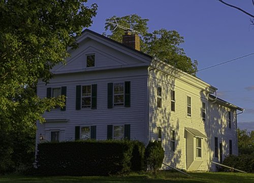
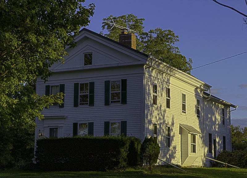
Westfield Township grades B+ overall, 296th of 987 graded towns in Ohio, with clear strengths and some subjects that lag. The median household earns $98K and its schools outperform 75% of the state's. A typical home there costs about $301K, 4.3 years of the Cleveland metro’s $71K median household income. Most errands need a car: it is less walkable than 92% of U.S. towns. 1.4% of residents live below the poverty line in Westfield Township, below both the Ohio town median (9.1%) and the median of U.S. towns (9.6%). Westfield Township has 2 places on the National Register of Historic Places, among them Halsey Hulburt Homestead and Seville Inn.
Where Westfield Township beats most towns.
Halsey Hulburt Homestead| School | Grades | Students |
|---|---|---|
| Cloverleaf Elementary School | PK–5 | 1,123 |
| Cloverleaf Middle School | 6–8 | 588 |
| Cloverleaf High School | 9–12 | 619 |
Where Westfield Township’s working residents go each day. Line width shows the share.
Census LEHD 2023
Each subject compared with towns across the country (schools within Ohio), ordered by how far Westfield Township is from typical.
How TownRatings grades towns →
The archive holds 2 old photos and papers going back to 2007 and 4 maps from 1904 on.
2 places on the National Register of Historic Places.
Explore the history →Who provides power, water and the rest in Westfield Township, and how to reach them.
EPA SDWIS (Oct 9, 2026) · HIFLD + EIA-861 2025 · Census 2020 ZCTAs · NCES 2024–25 · registration: vote.gov, updated Aug 3, 2026.
Ordered by what stands out in Westfield Township.
Westfield Township owes part of its health edge to its incomes, but it has lost a quarter or more of its jobs in ten years.
Expected storm and flood damage is lower than in 90% of U.S. communities.
FEMA National Risk Index · OpenFEMA
Its public schools are run by the Cloverleaf Local school district. Two of its 3 schools are below, each with why it’s listed. The largest public high school is Cloverleaf High School, with 619 students.
| School | Level | Students | Letter |
|---|---|---|---|
| Cloverleaf Elementary SchoolLargest public elementary schoolGrades PK–5 | Grades PK–5 | 1,123 | B+ |
| Cloverleaf High SchoolLargest public high schoolGrades 9–12 | Grades 9–12 | 619 | B |
NCES · EDFacts · graded within OH on state tests and graduation
Jobs based here fell from 2,434 in 2013 to 788.
Most working residents leave Westfield Township for work: only 5% work in town. Jobs based in Westfield Township fell to 788 in 2023, 1,646 fewer than in 2013. The top destinations are Medina (10%), Cleveland (9%) and Akron (6%).
| Westfield Township | Ohio towns | U.S. towns | |
|---|---|---|---|
| Median household income | $98,000 | $75,000 | $80,000 |
| Work from home | 12% | 9.7% | 11% |
| Working residents who work in town | 5.3% | 6.9% | 8% |
Census LEHD 2023 · ACS
Adults 18 to 34 are 10% of residents (22% statewide); adults 35 to 64 are 46% of residents (38% statewide). Westfield Township has grown 2.4% since 2020, to 2,696 residents in the Census Bureau’s 2025 estimate. Westfield Township’s median age is 44 years.
| Westfield Township | Ohio towns | U.S. towns | |
|---|---|---|---|
| Median age | 44 years | 41.7 years | 40.5 years |
| Aged 65 or older | 18% | 20% | 18% |
40% women, 60% men
About 149 men for every 100 women (the survey’s margin: ±5.3 points). Across Ohio, 50.7% of residents are women.
| Westfield Township | OH | U.S. | |
|---|---|---|---|
| Under 10 | 9.4% | 11.7% | 11.6% |
| 10 to 17 | 17.5% | 10.3% | 10.3% |
| 18 to 24 | 3.5% | 8.9% | 9.1% |
| 25 to 34 | 6.4% | 13.2% | 13.7% |
| 35 to 44 | 14.7% | 12.5% | 13.2% |
| 45 to 54 | 10.6% | 12% | 12.2% |
| 55 to 64 | 20.4% | 13.2% | 12.7% |
| 65 to 74 | 11.6% | 10.9% | 10.2% |
| 75 and older | 6% | 7.3% | 7% |
| No diploma | 6% | 8.2% | 10.4% |
| High school | 34.9% | 32.1% | 26% |
| Some college | 25.7% | 19.3% | 19.1% |
| Associate’s | 7.9% | 9% | 8.8% |
| Bachelor’s | 16.9% | 19.3% | 21.6% |
| Graduate | 8.6% | 12.2% | 14.1% |
Census population estimates, 2025 · U.S. Census Bureau · ACS 2020-2024 5-year estimates · in a town of 2,700, single groups can be off by several points
3.5 miles of trail in 4 parks and preserves. The biggest park or preserve is Killbuck Lakes Park - Undeveloped, at 502 acres.
| Westfield Township | Ohio towns | U.S. towns | |
|---|---|---|---|
| Miles of trail per square mile | 0.2 miles per square mile | 0.2 | 0.4 |
| Conserved land | 3% | 3.7% | 4.3% |
| Biggest places to walk | Trails | Acres |
|---|---|---|
| 1. Buckeye Woods County Park | 2.3 mi | 468 |
| 2. Killbuck Lakes Park | 1 mi | 87 |
| 3. Killbuck Lakes Park - Undeveloped | — | 502 |
Trails & parks © OpenStreetMap contributors · Conserved land: USGS PAD-US
Westfield Township has chilly, snowy winters and pleasant summers. July afternoons reach 83°, January nights drop to 19° and about 36 inches of snow falls in a winter.
NOAA U.S. Climate Normals, 1991–2020
Against the 8,796 U.S. towns with household incomes like Westfield Township’s, it is less healthy than 60%: its national edge comes with its incomes.
Westfield Township beats the Ohio average on 7 of 32 CDC measures and trails it on 1. 34% of adults sleep under 7 hours in Westfield Township.
| Westfield Township | Ohio towns | U.S. towns | |
|---|---|---|---|
| Sleep under 7 hours (CDC PLACES) | 34% | 38% | 36% |
| Food insecurity (CDC PLACES) | 9.7% | 13% | 14% |
| Binge drink (CDC PLACES) | 17% | 17% | 16% |
| Fair or poor health (CDC PLACES) | 17% | 20% | 19% |
| What stands out | Westfield Township | OH |
|---|---|---|
| Fewer adults facing food insecurity | 9.7% | 14.1% |
| Fewer adults facing a utility shut-off | 5.8% | 8.3% |
| More adults who have had cancer | 10.2% | 8.7% |
CDC PLACES 2025 · modeled estimates for adults · CMS · HRSA
Museums, parks, gardens and other places to visit around Westfield Township. Close and well known come first.
Big draw36 mi MuseumRock and Roll Hall of Fame580K visitors a year
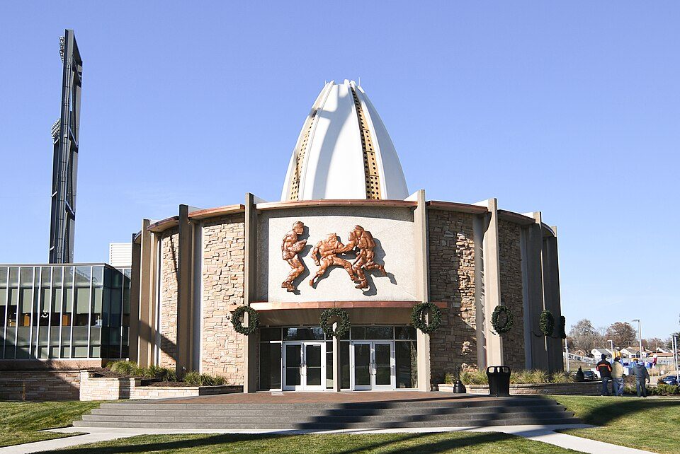
Big draw29 mi MuseumPro Football Hall of Fame192K visitors a year
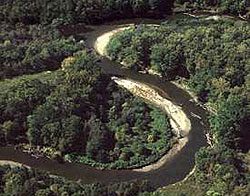
19 mi National ParkCuyahoga Valley National Park3.0M visitors a year
Big draw36 mi Stadium & arenaProgressive Field
36 mi Stadium & arenaHuntington Bank Field
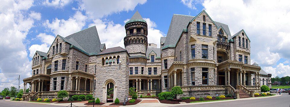
35 mi MuseumOhio State ReformatoryRock and Roll Hall of Fame: MusikAnimal, CC BY-SA 4.0 · Pro Football Hall of Fame: Erik Drost, CC BY 2.0 · Cuyahoga Valley National Park: Unknown, Public domain · Progressive Field: Jsawczuk, Public domain · Huntington Bank Field: Erik Drost, CC BY 2.0 · Ohio State Reformatory: Niagara66, CC BY-SA 4.0
2 within 15 miles of the center of Westfield Township
About 1 of every 100 Westfield Township residents are enrolled in college, against 6 across Ohio.
Township in Ohio, US
Westfield Township is one of the seventeen townships of Medina County, Ohio, United States. The 2020 census found 2,632 people in the township.
From Wikipedia, licensed CC BY-SA 4.0 · facts via Wikidata (CC0)
5 towns share a border with Westfield Township.
| Town | OH rank | Overall | Cost | Safety | Schools | Health |
|---|---|---|---|---|---|---|
| Westfield Township | #296 | B+ | B− | — | A− | B |
| Creston | — | — | A | — | A− | C |
| Lafayette Township | #355 | B+ | C | — | A− | B+ |
| Harrisville Township | — | — | C+ | — | A− | C− |
| Guilford Township | #225 | A− | C+ | — | A− | B+ |
| Canaan Township | #239 | A− | B+ | — | A− | C |
Creston and Harrisville Township have fewer than 2,500 residents, so they get subject grades but no overall grade. Westfield Township, Creston, Lafayette Township, Harrisville Township, Guilford Township and Canaan Township report no FBI crime data of their own. Compare Westfield Township with a neighbor →
Short answers, built from the data on this page.
By most measures, yes. Westfield Township grades B+ overall, better than 74% of U.S. towns and #296 of 987 in Ohio. It grades B for health and A− for schools. Walkability is its weak spot, with a D.
Cost of living, which also weighs rents, property taxes and how many households pay 30% or more of their income for housing, grades B−.