
Uniontown 6-18-24 thumbnail IMG 0523, 2024
Uniontown’s story
210 years in pictures
The archive holds 1 old photo or paper going back to 2024 and 6 maps from 1901 on.
- 1816Uniontown is platted
Each edition grades its towns against each other only.

A town of 7,920, platted in 1816.
Uniontown grades A overall, 159th among Ohio's 987 graded towns, with clear strengths and some subjects that lag. Its schools rank ahead of 93% of Ohio towns and the median household earns $93K. It also does better than most on health: it is healthier than 78% of U.S. towns. A typical home there costs about $327K, 4.8 years of the Canton metro’s $68K median household income. On hazard risk, just 165 of Ohio’s 1,718 towns do better. 29% of residents are under 18 in Uniontown, where Ohio’s towns sit at 22% and U.S. towns at 22%.
Where Uniontown beats most towns.
3,309 counted in 2010 and 7,173 in 2020.
U.S. Census 2010 & 2020 counts
Each subject compared with towns across the country (schools within Ohio), ordered by how far Uniontown is from typical.
How TownRatings grades towns →
The archive holds 1 old photo or paper going back to 2024 and 6 maps from 1901 on.
Museums, parks, gardens and other places to visit around Uniontown. Close and well known come first.
 Big draw10 mi MuseumPro Football Hall of Fame192K visitors a year
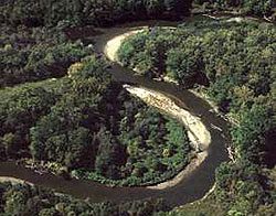 11 mi National ParkCuyahoga Valley National Park3.0M visitors a year
 Big draw40 mi Stadium & arenaProgressive Field
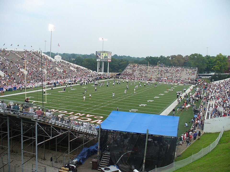 10 mi Stadium & arenaTom Benson Hall of Fame Stadium
 40 mi Stadium & arenaRocket Arena
 27 mi Theme parkSeaWorld Ohio
Pro Football Hall of Fame: Erik Drost, CC BY 2.0 · Cuyahoga Valley National Park: Unknown, Public domain · Progressive Field: Jsawczuk, Public domain · Tom Benson Hall of Fame Stadium: Harrier233 at English Wikipedia, Public domain · Rocket Arena: Cards84664, CC BY-SA 4.0 · SeaWorld Ohio: Jeremy Thompson from Los Angeles, California, CC BY 2.0
Uniontown is unincorporated, so Stark County and regional agencies provide most services.
EPA SDWIS (Oct 9, 2026) · HIFLD + EIA-861 2025 · Census 2020 ZCTAs · NCES 2024–25 · registration: vote.gov, updated Aug 3, 2026.
Ordered by what stands out in Uniontown.
Uniontown has less food insecurity than most of Ohio and has seen reported crime fall by about half.
Expected storm and flood damage is lower than in 91% of U.S. communities.
FEMA National Risk Index · OpenFEMA
Its widest gap with Ohio is food insecurity: 7.2% of its 5,387 adults worry about having enough food, against 14.1% statewide.
12% of adults report frequent physical distress in Uniontown. Uniontown beats the Ohio average on 18 of 32 CDC measures and trails it on 0. 14% of adults say their health is fair or poor in Uniontown.
| Uniontown | Ohio towns | U.S. towns | |
|---|---|---|---|
| Frequent physical distress (CDC PLACES) | 12% | 15% | 14% |
| Fair or poor health (CDC PLACES) | 14% | 20% | 19% |
| Food insecurity (CDC PLACES) | 7.2% | 13% | 14% |
| Get no exercise (CDC PLACES) | 21% | 28% | 25% |
| What stands out | Uniontown | OH |
|---|---|---|
| Fewer adults facing food insecurity | 7.2% | 14.1% |
| Fewer adults facing a utility shut-off | 4.9% | 8.3% |
CDC PLACES 2025 · modeled estimates for adults · CMS · HRSA
Most working residents leave Uniontown for work: only 3% work in town. The top destinations are Akron (18%), Jackson Township (8%) and Canton (7%). Half commute less than 10 miles.
| Uniontown | Ohio towns | U.S. towns | |
|---|---|---|---|
| Median household income | $93,000 | $75,000 | $80,000 |
| Working residents who work in town | 2.6% | 6.9% | 8% |
| Average trip to work | 23 minutes | 24 minutes | 25 minutes |
| Below the poverty line | 7.8% | 9.1% | 9.6% |
Census LEHD 2023 · ACS
The typical Uniontown home is worth about $327,000, up 3.5% in a year, 33% above the Ohio typical home. 82% of Uniontown households own their home.
| Uniontown | Ohio towns | U.S. towns | |
|---|---|---|---|
| Households that own their home | 82% | 77% | 73% |
| Median rent | $1,014 a month | $943 a month | $1,185 a month |
Census ACS, 2020–24 · Zillow Home Value Index · Redfin Data Center
38% of adults 25 and older have a bachelor’s degree or more, vs 32% across Ohio.
| Uniontown | Ohio towns | U.S. towns | |
|---|---|---|---|
| Bachelor’s degree or more, 25+ | 38% | 24% | 29% |
| Aged 65 or older | 19% | 20% | 18% |
51% women, 49% men
That’s an even split within the survey’s margin of ±4 points. Across Ohio, 50.7% of residents are women.
| Uniontown | OH | U.S. | |
|---|---|---|---|
| Under 10 | 14.7% | 11.7% | 11.6% |
| 10 to 17 | 14.5% | 10.3% | 10.3% |
| 18 to 24 | 4.7% | 8.9% | 9.1% |
| 25 to 34 | 7.7% | 13.2% | 13.7% |
| 35 to 44 | 16% | 12.5% | 13.2% |
| 45 to 54 | 13.7% | 12% | 12.2% |
| 55 to 64 | 9.6% | 13.2% | 12.7% |
| 65 to 74 | 10.8% | 10.9% | 10.2% |
| 75 and older | 8.2% | 7.3% | 7% |
| No diploma | 3.5% | 8.2% | 10.4% |
| High school | 25.4% | 32.1% | 26% |
| Some college | 20.3% | 19.3% | 19.1% |
| Associate’s | 12.8% | 9% | 8.8% |
| Bachelor’s | 22.3% | 19.3% | 21.6% |
| Graduate | 15.7% | 12.2% | 14.1% |
U.S. Census Bureau · ACS 2020-2024 5-year estimates
Uniontown has chilly, snowy winters and pleasant summers. Uniontown’s July high is 83°F.
NOAA U.S. Climate Normals, 1991–2020
| Uniontown | Ohio towns | U.S. towns | |
|---|---|---|---|
| Miles of trail per square mile | 0.1 miles per square mile | 0.2 | 0.4 |
| Conserved land | 3.2% | 3.7% | 4.3% |
| Biggest places to walk | Trails | Acres |
|---|---|---|
| 1. Uniontown Community Park | 0.5 mi | 18 |
Trails & parks © OpenStreetMap contributors · Conserved land: USGS PAD-US
Reported crimes fell from 100 to 67 over the last three FBI years, a drop beyond ordinary year-to-year swings.
FBI crime data, 2025 · crimes reported to police
9 within 15 miles of the center of Uniontown
About 5 of every 100 Uniontown residents are enrolled in college, about the same as Ohio.
Where Uniontown’s working residents go each day. Line width shows the share.
Census LEHD 2023
3 notable people were born in Uniontown.
CDP in Ohio, United States
Uniontown is a census-designated place (CDP) in Stark County, Ohio, United States. The population was 7,173 at the 2020 census. The Industrial Excess Landfill, now a superfund site, is located south of Uniontown. Uniontown is part of the Canton-Massillon, OH Metropolitan Statistical Area.
From Wikipedia, licensed CC BY-SA 4.0 · facts via Wikidata (CC0)
3 towns share a border with Uniontown.
| Town | OH rank | Overall | Cost | Safety | Schools | Health |
|---|---|---|---|---|---|---|
| Uniontown | #159 | A | B− | B− | A | A− |
| Greentown | #79 | A | C+ | — | A | A− |
| Lake Township | #113 | A | C+ | — | A | B+ |
| Green | #168 | A− | C | — | A | B+ |
Greentown, Lake Township and Green report no FBI crime data of their own. Compare Uniontown with a neighbor →
Short answers, built from the data on this page.
By most measures, yes. Uniontown grades A overall, better than 85% of U.S. towns and #159 of 987 in Ohio. It grades A− for health, B− for safety and A for schools.
Cost of living, which also weighs rents, property taxes and how many households pay 30% or more of their income for housing, grades B−.
Uniontown was platted in 1816. 3 notable people were born here, including E. O. Excell and John Ritchie.


