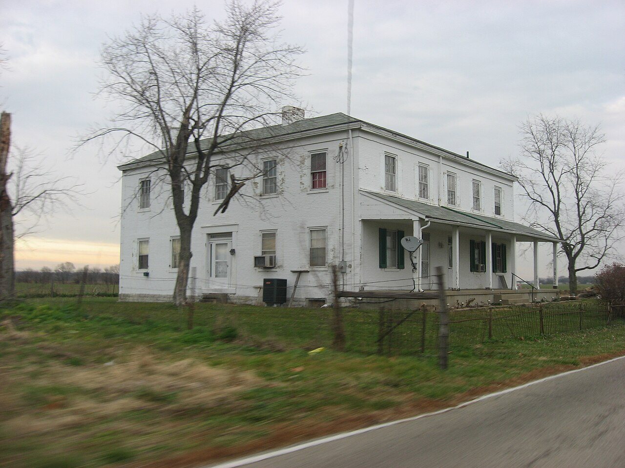
St. Clair Township in pictures
The archive holds 5 old photos and papers going back to 1875 and 5 maps from 1915 on.
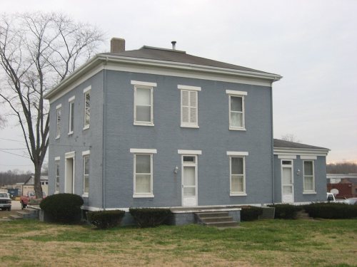
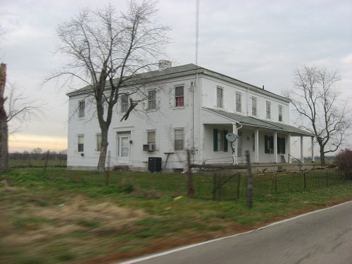
4 places on the National Register of Historic Places.
Explore the history →Each edition grades its towns against each other only.
A town of 6,940.
St. Clair Township gives you more for your money than most places: homes are within reach, about $176K for a typical one, or 2.2 years of the Cincinnati metro’s $81K median household income. It grades C overall, 850th of 987 graded towns in Ohio. The low prices come with trade-offs. FEMA rates its natural-hazard risk higher than 82% of U.S. communities, with inland flooding at the top. Only 155 of Ohio’s 1,560 towns score lower on civic life. Its National Register listings include John Sr. Kennel Farm and Augspurger Grist Mill. Most errands need a car: it is less walkable than 83% of U.S. towns.
Where St. Clair Township beats most towns.
Where St. Clair Township’s working residents go each day. Line width shows the share.
Census LEHD 2023
Each subject compared with towns across the country (schools within Ohio), ordered by how far St. Clair Township is from typical.
How TownRatings grades towns →
The archive holds 5 old photos and papers going back to 1875 and 5 maps from 1915 on.
4 places on the National Register of Historic Places.
Explore the history →Museums, parks, gardens and other places to visit around St. Clair Township. Close and well known come first.
Big draw16 mi Theme parkKings Island3.5M visitors a year
32 mi MuseumNational Museum of the United States Air Force1.0M visitors a year
24 mi Stadium & arenaPaycor Stadium
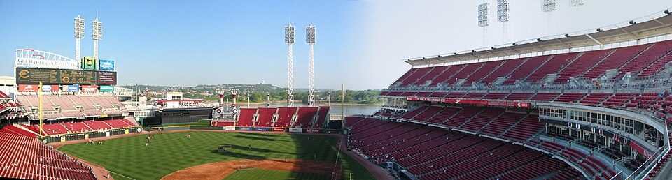
24 mi Stadium & arenaGreat American Ball Park
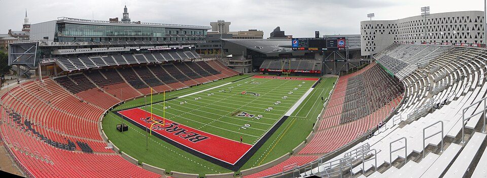
22 mi Stadium & arenaNippert Stadium
28 mi MuseumCreation Museum1.2M visitors a yearKings Island: Eli Duke from Portland, OR, USA, CC BY-SA 2.0 · National Museum of the United States Air Force: No machine-readable author provided. Rogerd assumed (based on copyright claims)., CC BY-SA 3.0 · Paycor Stadium: JonRidinger, CC BY-SA 4.0 · Great American Ball Park: Eric Kilby profile at Flickr website, CC BY-SA 2.0 · Nippert Stadium: Ben Levin, CC BY-SA 4.0 · Creation Museum: Creashin at English Wikipedia, Public domain
Who provides power, water and the rest in St. Clair Township, and how to reach them.
EPA SDWIS (Oct 9, 2026) · HIFLD + EIA-861 2025 · Census 2020 ZCTAs · NCES 2024–25 · registration: vote.gov, updated Aug 3, 2026.
Ordered by what stands out in St. Clair Township.
FEMA rates its natural-hazard risk higher than 98% of Ohio towns, with expected losses of about $511 per resident a year; that rating is what its D for hazard risk is built on.
At 82 of 100, St. Clair Township’s FEMA risk score is where Ohio’s towns sit at 23 of 100 and U.S. towns at 44 of 100. Since 1980, 36 flood insurance claims have been paid out in St. Clair Township.
FEMA flood insurance claims · FEMA National Risk Index · OpenFEMA
Its public schools are run by the Edgewood City School District. Two of its 7 schools are below, each with why it’s listed. The largest public high school is Edgewood High School, with 1,053 students.
| School | Level | Students | Letter |
|---|---|---|---|
| Edgewood Middle SchoolLargest public middle schoolGrades 6–8 | Grades 6–8 | 801 | C+ |
| Edgewood High SchoolLargest public high schoolGrades 9–12 | Grades 9–12 | 1,053 | B− |
NCES · EDFacts · graded within OH on state tests and graduation
Most working residents leave St. 17% of residents live below the poverty line in St. Clair Township, above both Ohio’s towns (9.1%) and U.S. towns (9.6%). Since 2013, St. Clair Township has added 218 jobs, to 1,829 in 2023.
| St. Clair Township | Ohio towns | U.S. towns | |
|---|---|---|---|
| Below the poverty line | 17% | 9.1% | 9.6% |
| Median household income | $62,000 | $75,000 | $80,000 |
| Average trip to work | 27 minutes | 24 minutes | 25 minutes |
| Working residents who work in town | 4.3% | 6.9% | 8% |
Census LEHD 2023 · ACS
4.6 miles of trail in 3 parks and preserves. The biggest park or preserve is Pyramid Hill Sculpture Park, at 181 acres.
| St. Clair Township | Ohio towns | U.S. towns | |
|---|---|---|---|
| Miles of trail per square mile | 0.2 miles per square mile | 0.2 | 0.4 |
| Conserved land | 3.8% | 3.7% | 4.3% |
| Biggest places to walk | Trails | Acres |
|---|---|---|
| 1. Pyramid Hill Sculpture Park | 0.5 mi | 181 |
| 2. Veterans’ Park | — | 14 |
| 3. Shiloh Knothole Fields | — | 14 |
Trails & parks © OpenStreetMap contributors · Conserved land: USGS PAD-US
41% of adults have obesity in St. Clair Township. Clair Township tracks Ohio closely on all 32 CDC measures. 36% of adults feel lonely in St. Clair Township.
| St. Clair Township | Ohio towns | U.S. towns | |
|---|---|---|---|
| Obesity (CDC PLACES) | 41% | 38% | 35% |
| Feel lonely (CDC PLACES) | 36% | 34% | 33% |
| Binge drink (CDC PLACES) | 18% | 17% | 16% |
| Get no exercise (CDC PLACES) | 29% | 28% | 25% |
CDC PLACES 2025 · modeled estimates for adults · CMS · HRSA
Only 5 of the 993 Ohio towns we compare have a higher July high than St. Clair Township. Clair Township has chilly winters and warm summers.
NOAA U.S. Climate Normals, 1991–2020
5 within 15 miles of the center of St. Clair Township
About 4 of every 100 St. Clair Township residents are enrolled in college, against 6 across Ohio.
4 places in St. Clair Township on the National Register of Historic Places.
Township in Ohio, US
St. Clair Township is one of thirteen townships in Butler County, Ohio, United States. The township consists of three disconnected pieces located along the Great Miami River in the central portion of the county. It had a population of 6,671 at the 2020 census.
From Wikipedia, licensed CC BY-SA 4.0 · facts via Wikidata (CC0)
9 towns share a border with St. Clair Township.
Ross Township next door grades higher for schools (A to St. Clair Township’s B−) and lower for cost of living (C+ to A−).
| Town | OH rank | Overall | Cost | Safety | Schools | Health |
|---|---|---|---|---|---|---|
| St. Clair Township | #850 | C | A− | — | B− | C |
| Hamilton | #889 | C− | B+ | C− | C+ | D |
| Fairfield Township | #718 | C+ | C+ | — | B− | C |
| New Miami | — | — | B+ | — | C | D− |
| Trenton | #560 | B− | B | — | B− | C+ |
| Ross Township | #328 | B+ | C+ | A− | A | C |
| Woodsdale | — | — | — | — | — | — |
| Madison Township | #780 | C | B− | — | B | C− |
New Miami has fewer than 2,500 residents, so it gets subject grades but no overall grade. St. Clair Township, Fairfield Township, New Miami, Trenton and Madison Township report no FBI crime data of their own. Woodsdale isn’t graded (fewer than 1,000 residents, or not enough data). Compare St. Clair Township with a neighbor →
Short answers, built from the data on this page.
St. Clair Township grades C overall, better than 26% of U.S. towns and #850 of 987 in Ohio. It grades C for health and B− for schools. Hazard risk is its weak spot, with a D.
Not for the area. Cost of living, which also weighs rents, property taxes and how many households pay 30% or more of their income for housing, grades A−.