RoselandOH
A town of 1,827.
Is Roseland a good place to live?
Roseland’s best subject grade is an A− for cost of living; its weakest is a D− for health. Roseland has fewer than 2,500 residents, so it gets subject grades but no overall grade.
What makes Roseland stand out
Where Roseland beats most towns, and one thing worth knowing.
100% of working residents leave Roseland for work
Where Roseland’s working residents go each day. Line width shows the share.
Census LEHD 2023
How Roseland grades
Each subject compared with towns across the country (schools within Ohio), ordered by how far Roseland is from typical.
How TownRatings grades towns →
Moving to Roseland: who provides what
Roseland is unincorporated, so Richland County and regional agencies provide most services.
EPA SDWIS (Oct 9, 2026) · HIFLD + EIA-861 2025 · Census 2020 ZCTAs · NCES 2024–25 · registration: vote.gov, updated Aug 3, 2026.
The data
Ordered by what stands out in Roseland.
A larger share of adults in Roseland say their health is fair or poor than in the typical Ohio or U.S. town
For adults in Roseland, the share who report frequent mental distress is 22%, and on top of that among 994 Ohio towns, just 2 have a higher share of adults who report frequent physical distress than Roseland. The share of adults in Roseland who feel lonely is 35%, close to Ohio’s towns (34%) and above U.S. towns (33%). Against the Ohio average, Roseland comes out ahead on 1 CDC measures out of 32, and behind on 23.
| Roseland | Ohio towns | U.S. towns | |
|---|---|---|---|
| Fair or poor health (CDC PLACES) | 31% | 20% | 19% |
| Smoke cigarettes (CDC PLACES) | 26% | 16% | 14% |
| Frequent physical distress (CDC PLACES) | 21% | 15% | 14% |
| Get no exercise (CDC PLACES) | 39% | 28% | 25% |
| What stands out | Roseland | OH |
|---|---|---|
| Fewer binge drinkers | 13.8% | 16.6% |
| More adults with COPD | 14.8% | 8% |
CDC PLACES 2025 · modeled estimates for adults · CMS · HRSA
Top of a very low hazard risk in Roseland: inland flooding
Roseland’s natural-hazard score from FEMA is 12 of 100, below both the Ohio town median (23 of 100) and the median of U.S. towns (44 of 100). FEMA puts 56% of the town’s expected hazard losses down to inland flooding, and 11% to tornadoes. Expected storm and flood damage is lower than in 88% of U.S. communities.
FEMA National Risk Index · OpenFEMA
With only 0.0 jobs per working resident, most people in Roseland work out of town
In Roseland, 20% of residents live below the poverty line. Only one of the 994 Ohio towns we compare has a lower mean commuting time than Roseland. Its typical household income stands at $49,000. The median commute is under 8 miles.
| Roseland | Ohio towns | U.S. towns | |
|---|---|---|---|
| Average trip to work | 14 minutes | 24 minutes | 25 minutes |
| Below the poverty line | 20% | 9.1% | 9.6% |
| Median household income | $49,000 | $75,000 | $80,000 |
Where working residents work
Census LEHD 2023 · ACS
The climate in Roseland brings snowy winters and pleasant summers
The typical July afternoon high in Roseland is 83°F.
Typical low → high °F
NOAA U.S. Climate Normals, 1991–2020
Homes in Roseland sell for about $127K
Among households in Roseland, 56% live in a home they own. For Roseland, the rent at the middle of the market is $780 a month.
| Roseland | Ohio towns | U.S. towns | |
|---|---|---|---|
| Households that own their home | 56% | 77% | 73% |
| Median rent | $780 a month | $944 a month | $1,185 a month |
Census ACS, 2020–24 · Zillow Home Value Index · Redfin Data Center
Ohio State Reformatory and 10 more within 40 miles
Museums, parks, gardens and other places to visit around Roseland. Close and well known come first.
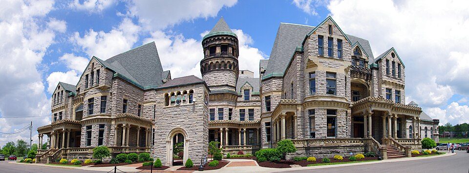 2 mi MuseumOhio State Reformatory
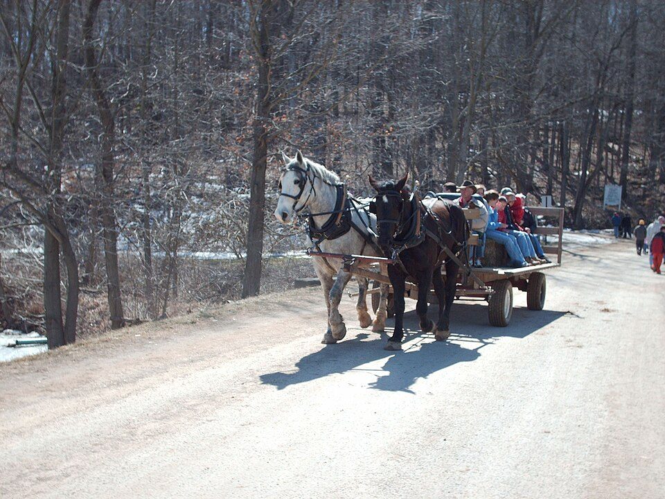 13 mi State parkMalabar Farm State Park
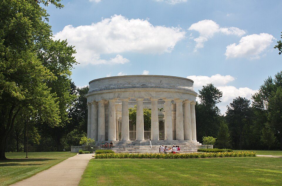 34 mi LandmarkHarding Tomb
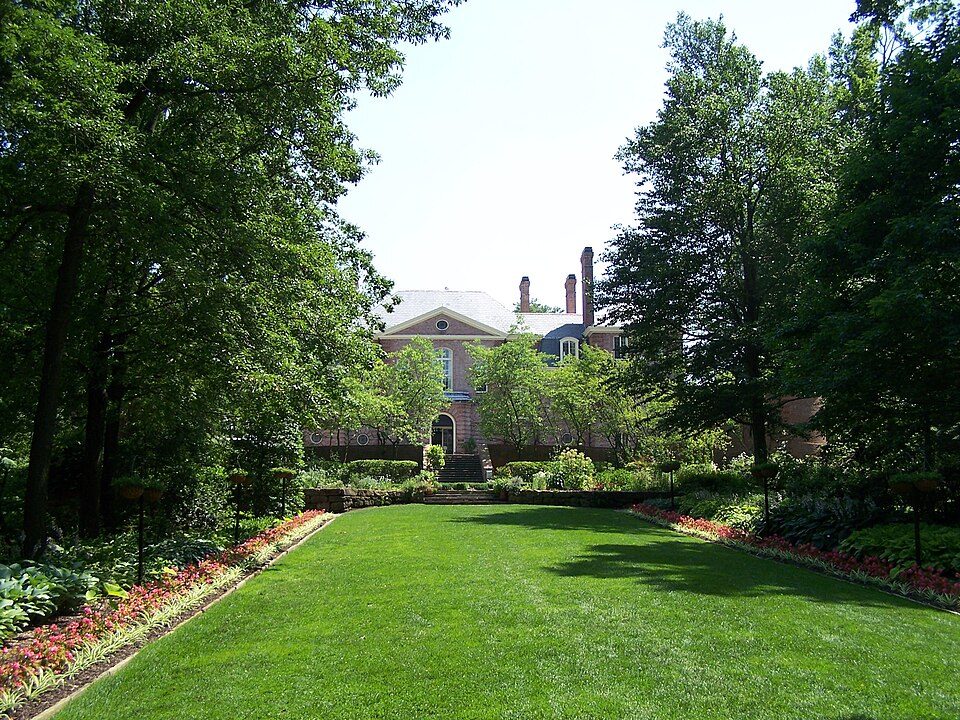 2 mi GardenKingwood Center
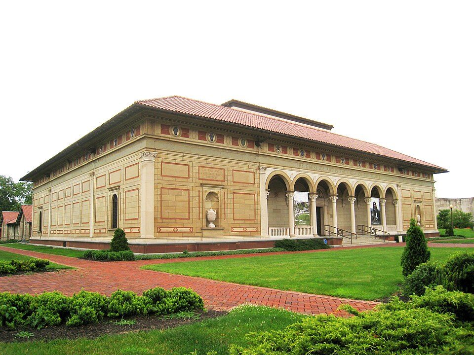 39 mi MuseumAllen Memorial Art Museum
 3 mi MuseumMansfield Memorial Museum
Photo credits
Ohio State Reformatory: Niagara66, CC BY-SA 4.0 · Malabar Farm State Park: Jerward at en.wikipedia, Public domain · Harding Tomb: User:Postdlf, CC BY-SA 3.0 · Kingwood Center: Mar07 at en.wikipedia, Public domain · Allen Memorial Art Museum: Daderot, Public domain · Mansfield Memorial Museum: Publichall, CC BY-SA 3.0


Everything we know about Roseland
Colleges nearby
3 within 15 miles of the center of Roseland
About 0 of every 100 Roseland residents are enrolled in college, against 6 across Ohio.
About Roseland
Census-designated place in Ohio, United States
Roseland is an unincorporated community and census-designated place (CDP) in Richland County, Ohio, United States. It was first listed as a CDP prior to the 2020 census. As of the 2020 census, Roseland had a population of 1,495. The CDP is in central Richland County, in northwestern Madison Township. It is bordered to the east, south, and part of the west by the city of Mansfield. Ohio State Route 39 (Springmill Road) runs through the CDP, leading southeast into Mansfield and northwest 9 miles (14 km) to Shelby.
From Wikipedia, licensed CC BY-SA 4.0 · facts via Wikidata (CC0)
- Area
- 0.7 sq mi
- Elevation
- 1,260 ft
Roseland’s neighbors
2 towns share a border with Roseland.
| Town | OH rank | Overall | Cost | Safety | Schools | Health |
|---|---|---|---|---|---|---|
| Roseland | — | — | A− | — | C | D− |
| Mansfield | #949 | D | B+ | C− | C+ | D− |
| Madison Township | #900 | C− | B+ | — | C+ | D− |
Roseland has fewer than 2,500 residents, so it gets subject grades but no overall grade. Roseland and Madison Township report no FBI crime data of their own. Compare Roseland with a neighbor →
Questions about Roseland
Short answers, built from the data on this page.
Is Roseland, OH expensive?
Not for the area. The typical home is worth about $93,000, 62% below the Ohio typical home. Cost of living, which also weighs rents, property taxes and how many households pay 30% or more of their income for housing, grades A−.