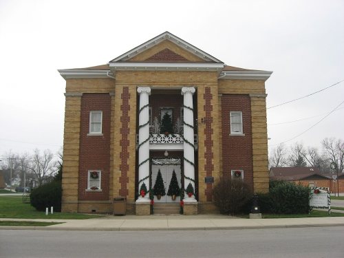
Passages that mention Mendon, cut from the printed page as they were published.
History of Mercer County, Ohio1907 · page 621Read the page →
Read the text
and was inhabited by friendly Indians, who were very often of great assistance to the pioneers. Lie was for many years a teacher and was one of the; best educated men of the day. He was a surveyor and laid out the town site of Mendon, part of which was on his land. Lie served as an associate judge of the Court of Common Pleas and was twice elected to the Legislature (in 1831 and 1832) from the district composed of the counties of Mercer, Darke, Allen, Putnam, Henry, Paulding and Williams. He was selected to read the bills in the Legislature, owing to his special ability as a reader. He was a
Text read by machine from the scan; it may contain errors.
History of Mercer County, Ohio1907 · page 647Read the page →
Read the text
to Mercer County, the Indians camped on his land and many times aided him in various ways. Fie was one of the first surveyors in Mercer County. He owned a large body of land here, located on Twelve-Mile Creek, one mile and a half southwest of Mendon. He owned the greater part of the land around Mendon, and surveyed the site of that town and platted it. He was a member for two terms of the Ohio House of Representatives, representing the counties of Mercer, Darke, Allen, Putnam, Henry, Paulding and Williams. Owing to his special ability as a reader, he was selected to read many bills before the
Text read by machine from the scan; it may contain errors.
Scans and text from the Internet Archive. Books published in 1930 or earlier, which are in the public domain.
Founding dates: Wikidata, Wikipedia, the U.S. post office records of Blevins & Helbock (CC0) and the Census. Homes by year built: Census ACS 2020–24. National Register of Historic Places: National Park Service (list of May 22, 2026). Old photos, postcards and papers: Wikimedia Commons, the Library of Congress and other public archives, credited on each item’s page. Maps: U.S. Geological Survey historical topographic maps (via Esri) and Sanborn fire-insurance maps (Library of Congress). History text and census tables: Wikipedia (CC BY-SA 4.0). Places that used to be: USGS Geographic Names Information System (2021). How TownRatings grades history →
From Wikimedia Commons (6), the National Register of Historic Places (1), Wikipedia, Wikidata and Wikipedia for famous people, the US Post Offices dataset (Blevins & Helbock), the USGS Geographic Names Information System and old county and town histories (Internet Archive). Archive images are copied here with their credits and licenses, shown on each photo’s page. Refreshed monthly.
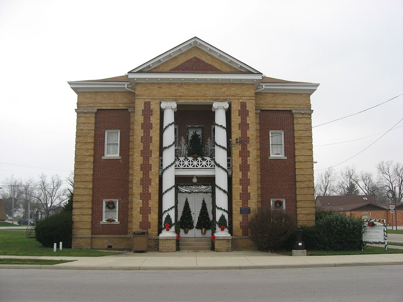


 2009
 2009
 2009
 2009
 2008
 2004