On its age, its old homes and the National Register, Maineville is more historic than 15% of U.S. towns. Its share of homes from before 1940 holds the grade up; its National Register listings pull it down.
C−
HistoryA character grade: shown, never part of Maineville’s overall grade.
Ohio towns list about as much on the Register as the country (a typical Ohio town has 2.9 per 10,000 residents, the U.S. 2.4), so Maineville’s 0.0 sits below most of its state (23% of Ohio towns have fewer) while its 0 listings outnumber those of 23% of U.S. towns.
How sure. Graded on two of the three inputs, so a change in either one moves the letter more than it would with three. The pre-1940 share (±1.9 points) is firm at this size.
Founding year: our sources. Homes: Census ACS 2020–24. National Register: National Park Service, May 2026 list; each listing counted once (boundary changes and added documentation belong to their listing), and a historic district counts its contributing buildings. How TownRatings grades history →
What stands out about Maineville’s past
Read from the archive, the National Register and the record. The page puts what stands out first.
Maineville was incorporated as a village on March 23, 1850. The village derives its name from Maine, the native state of a large share of its first settlers.The settlers came mostly from the Maine town of Phillips; and some from nearby Farmington. Originally, the relocation of these people involved nearly one hundred families (the relocation took 30 to 60 days). The town was called "Yankeetown" and "Maineville", and in 1850 it was incorporated as "Maineville". A village flag was designed and created by John Michael, later to become Mayor of Maineville. The flag includes Ohio and Maine, the state seals and a connecting reference to the two areas. The flag was adopted unanimously by the Maineville Council in 1994. A post office was established at Maineville in 1854.
Passages that mention Maineville, cut from the printed page as they were published.
The History of Warren County, Ohio1882 · page 622Read the page →
Read the text
lent business capacities. He carried on the merchandising business with marked success up to the time of his death, which occurred in the spring of 1865. At the time of the Colonel’s arrival, and for some time afterward, the citizens of Maineville were making strenuous efforts to induce the Government to establish a post office in the village, but without success. Finally Ford took hold of the matter, and having a personal acquaintance with some of the lead ing officials at Washington, succeeded in bringing about the desired result and a post office was established in 1854, Ford receiving the appointment of
Text read by machine from the scan; it may contain errors.
The History of Warren County, Ohio1882 · page 618Read the page →
Read the text
The first post office in the township was at Hopkinsville, established is 1825, and afterward post offices were established in the following order viz. : Dallasburg, 1848, Maineville, 1854; Foster's Crossing, 1859; Murdoch, 1866, and Cozaddale, 1871. The very earliest settlers received their mail probably at Lebanon. The following, copied from the address on the back of an early letter, will show how indefinite the directions : Mr . Samuel Walker , living in Warren County ,
Text read by machine from the scan; it may contain errors.
Scans and text from the Internet Archive. Books published in 1930 or earlier, which are in the public domain.
Maineville is more historic than 15% of U.S. towns. The History grade combines the town’s founding era, the share of homes built before 1940 and its National Register listings. It’s a character grade, so it isn’t part of the overall grade. How it works.
How old are the homes in Maineville?
4% of Maineville’s homes were built before 1940 (Census estimate, ±1.9 points), against a typical 15% for an Ohio town; the median home was built in 2004.
Founding dates: Wikidata, Wikipedia, the U.S. post office records of Blevins & Helbock (CC0) and the Census. Homes by year built: Census ACS 2020–24. National Register of Historic Places: National Park Service (list of May 22, 2026). Old photos, postcards and papers: Wikimedia Commons, the Library of Congress and other public archives, credited on each item’s page. Maps: U.S. Geological Survey historical topographic maps (via Esri) and Sanborn fire-insurance maps (Library of Congress). History text and census tables: Wikipedia (CC BY-SA 4.0). Places that used to be: USGS Geographic Names Information System (2021).
From Wikimedia Commons (3), Wikipedia, Wikidata and Wikipedia for famous people, the USGS Geographic Names Information System and old county and town histories (Internet Archive). Archive images are copied here with their credits and licenses, shown on each photo’s page. Refreshed monthly.
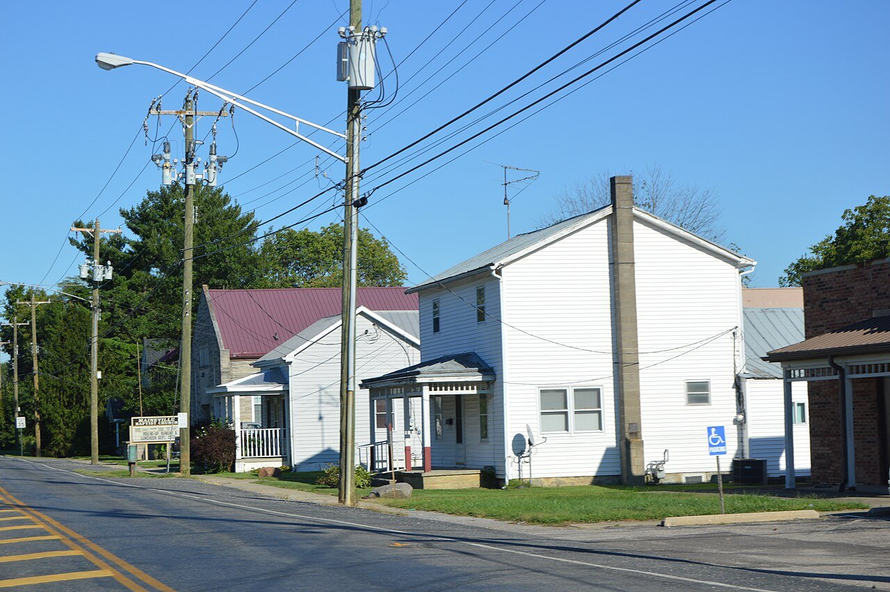


 2016
 2015
 2004