The Gorham Township post office opened in 1837, the earliest record of the town by name. Another post office, Ritters (1874), opened inside today’s town and later closed.
2020 census: 2,168189 years
How historic is Gorham Township?
B+
More historic than 74% of U.S. towns, on its age, its old homes and the National Register.
Founding year: the first Gorham Township post office (Blevins & Helbock, CC0).
History grade
What drives Gorham Township’s History grade
On its age, its old homes and the National Register, Gorham Township is more historic than 74% of U.S. towns. Its share of homes from before 1940 holds the grade up; its National Register listings pull it down.
B+
HistoryA character grade: shown, never part of Gorham Township’s overall grade.
Ohio towns list about as much on the Register as the country (a typical Ohio town has 2.9 per 10,000 residents, the U.S. 2.4), so Gorham Township’s 0.0 sits below most of its state (23% of Ohio towns have fewer) while its 0 listings outnumber those of 23% of U.S. towns.
How sure. Graded on any two of the three inputs instead, the letter would range from C+ to A. The pre-1940 share is a Census survey estimate (±8.6 points). The founding year is the first post office, not a stated founding date.
Founding year: the first post office (other dates in Quick answers). Homes: Census ACS 2020–24. National Register: National Park Service, May 2026 list; each listing counted once (boundary changes and added documentation belong to their listing), and a historic district counts its contributing buildings. How TownRatings grades history →
What stands out about Gorham Township’s past
Read from the archive, the National Register and the record. The page puts what stands out first.
Lost post offices, old corners, places now gone and burying grounds
Another post office, Ritters, opened and closed inside today’s town.
Hamlets and corners on the map
Parkview Mobile Home CourtPowersRittersThelma
Gone or out of use
Ackmer SchoolschoolFountain SchoolschoolHochstetler AirportairportHoffman SchoolschoolKanayer SchoolschoolLester SchoolschoolMundron FieldairportPrairie SchoolschoolRitters Post Officepost officeSchool Number 2schoolSchool Number 7schoolSnow SchoolschoolSugar Grove Schoolschool
1cemetery inside Gorham Township
Snow
US Post Offices dataset (Blevins & Helbock, CC0). Places and cemeteries from the USGS Geographic Names Information System (2021).
The story so far
Gorham Township, in brief
Wikipedia doesn’t have a history of Gorham Township yet. The photos, dates and memories neighbors add here are how it gets written.
Gorham Township is one of the twelve townships of Fulton County, Ohio, United States. The 2020 census found 2,168 people in the township.
Its first post office opened in 1837. Between the 2010 and 2020 censuses its population fell from 2,260 to 2,168 (-4%).
Intro from Wikipedia. Population: U.S. Census Bureau.
From the old history books
What they wrote about Gorham Township in 1920
Passages that mention Gorham Township, cut from the printed page as they were published.
A Standard History of Fulton County, Ohio1920 · page 220Read the page →
Read the text
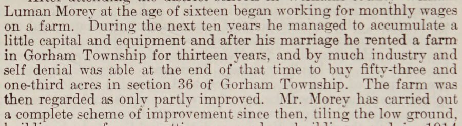
Luman Morey at the age of sixteen began working for monthly wages on a farm. During the next ten vears he managed to accumulate a little capital and equipment and after his marriage he rented a farm in Gorham Township for thirteen years, and by much industry and self denial was able at the end of that time to buy fifty-three and one-third acres in section 36 of Gorham Township. The farm was then regarded as only partly improved. Mr. Morey has carried out a complete scheme of improvement since then, tiling the low ground,
Text read by machine from the scan; it may contain errors.
A standard history of Fulton County, Ohio, an authentic narrative of the past, with an extended survey of modern developments in the progress of town and county1920 · page 407Read the page →
Read the text
The settlement of the southern part of Gorham Township had begun early in 1835. In the vicinity of Fayette, the Coffin and Cottrell families were preparing the way in the spring, according to family records, which state: “In the spring of 1835 Freeman Coffin and Clement Coffin, with their families, left Williamsburg, Massachusetts, for the West. Gorham Cottrell and his eldest son, Erastus, accompanied the party. They came to Albany by stage, on the Erie canal to Buffalo, on Lake Erie
Text read by machine from the scan; it may contain errors.
A standard history of Fulton County, Ohio, an authentic narrative of the past, with an extended survey of modern developments in the progress of town and county1920 · page 80Read the page →
Read the text
ing projects were begun in 1859 in Royalton, Pike, York, German, Clinton, Franklin, and Swan Creek townships; in Amboy and Fulton townships in 1862; in Chesterfield and Dover townships, in 1864; and in Gorham Township in 1865. And the benefit arising from such work was soon evident throughout the county, very little of which remained uncultivated.
Text read by machine from the scan; it may contain errors.
Scans and text from the Internet Archive. Books published in 1930 or earlier, which are in the public domain.
The Gorham Township post office opened in 1837, the earliest record of the town by name (U.S. post office records).
How does Gorham Township rank for history?
Gorham Township is more historic than 74% of U.S. towns. The History grade combines the town’s founding era, the share of homes built before 1940 and its National Register listings. It’s a character grade, so it isn’t part of the overall grade. How it works.
How old are the homes in Gorham Township?
39% of Gorham Township’s homes were built before 1940 (Census estimate, ±8.6 points), against a typical 15% for an Ohio town; the median home was built in 1954.
Founding dates: Wikidata, Wikipedia, the U.S. post office records of Blevins & Helbock (CC0) and the Census. Homes by year built: Census ACS 2020–24. National Register of Historic Places: National Park Service (list of May 22, 2026). Old photos, postcards and papers: Wikimedia Commons, the Library of Congress and other public archives, credited on each item’s page. Maps: U.S. Geological Survey historical topographic maps (via Esri) and Sanborn fire-insurance maps (Library of Congress). History text and census tables: Wikipedia (CC BY-SA 4.0). Places that used to be: USGS Geographic Names Information System (2021).
From Wikimedia Commons (4), the US Post Offices dataset (Blevins & Helbock), the USGS Geographic Names Information System and old county and town histories (Internet Archive). Archive images are copied here with their credits and licenses, shown on each photo’s page. Refreshed monthly.



 2015
 2015
 2009
 2006


