Guest, Sign inJoin

Post to Burbank

We’ll email a one-tap link to publish your post. No password, and nothing is public until you click it.
Already a member? Sign in
–Not graded
History · Burbank

Burbank’s post office opened in 1838, and 75% of its homes were built before 1940

Below: maps from 1901 on and the census since 1870.

1838first post office
0on the National Register
75%homes built before 1940
1famous people
Photo: Ser Amantio di Nicolao (Uploads) · CC BY 3.0
Quick answers

How Burbank began

When was Burbank founded?

1838

The Burbank post office opened in 1838, the earliest record of the town by name.

First census: 258 in 18702020 census: 296188 years
Founding year: the first Burbank post office (Blevins & Helbock, CC0).

What stands out about Burbank’s past

Read from the archive, the National Register and the record. The page puts what stands out first.

★ What stands out · Help out

Start Burbank’s collection

The first neighbors to add old photos shape how Burbank’s history is told.

Decades since 1900 with photos
00s10s20s30s40s50s60s70s80s90s
0 of 10 decades. The empty ones are waiting for someone’s album.
The story so far

Burbank, in brief

Wikipedia doesn’t have a history of Burbank yet. The photos, dates and memories neighbors add here are how it gets written.

Burbank is a village in Wayne County, Ohio, United States, along Killbuck Creek. The population was 296 at the 2020 census.

Its first post office opened in 1838. Between the 2010 and 2020 censuses its population grew from 207 to 296 (+43%).

Intro from Wikipedia. Population: U.S. Census Bureau.

Timeline

Burbank, 1838 to 1997

Woven from the archive, old maps, post office records, the National Register and the people born here.

  1. 19th century
  2. 1838Post officeThe Burbank post office opens
  3. 20th century
  4. 1901On the mapFirst mapped by the U.S. Geological Survey
  5. 1997Born hereKollin Moore is born here
From the old history books

What they wrote about Burbank, 1878–1910

Passages that mention Burbank, cut from the printed page as they were published.

Burbank, within this township, was incorporated in 1868, when the name was changed from Bridgeport. Burbank Academy was organized in 1873. The Methodist Episcopal church was the first to be organized in the place. The business factors in the hamlet in 1909 were: M. W. Hower & Son : Will Frary, who …
History of Wayne County, Ohio1910 · page 362Read the page →
Read the text

Burbank, within this township, was incorporated in 1868, when the name was changed from Bridgeport. Burbank Academy was organized in 1873. The Methodist Episcopal church was the first to be organized in the place. The business factors in the hamlet in 1909 were: M. W. Hower & Son : Will Frary, who is postmaster. George Brothers. R. L. Malcomb, J. E.

Text read by machine from the scan; it may contain errors.
Burbank was incorporated in 1868, when the name was changed from Bridgeport. It contains three churches—the Methodist Episcopal, United Brethren and Evangelical. The first was organized in the beginning of the village, and the second about the same time, aiid the third in 1860. The Burbank Academy …
history of wayne county, ohio, from the days of the pioneers and first settlers to the present time1878 · page 782Read the page →
Read the text

Burbank was incorporated in 1868, when the name was changed from Bridgeport. It contains three churches—the Methodist Episcopal, United Brethren and Evangelical. The first was organized in the beginning of the village, and the second about the same time, aiid the third in 1860. The Burbank Academy was organized in 1873, the present Principal being Professor Rosseter. The following are the village officers since the date of its incorporation : 1869. Councilmen for one year—Amos Idleman, David Ecker, Fred Shreffler, A. Hall, Henry Kerns; Mayor—John Reed; ‘Clerk—G. W. Holloway ; Treasurer—

Text read by machine from the scan; it may contain errors.
Overton, and, entering Wayne township, it intersects a north and south divide from Burbank to Wooster, but continues on across Wayne into Greene township, ending with and marking the head of the island east of Smithville, where the strata, badly crushed and eroded, dips under the bed of the Old Moh…
History of Wayne County, Ohio1910 · page 59Read the page →
Read the text

Overton, and, entering Wayne township, it intersects a north and south divide from Burbank to Wooster, but continues on across Wayne into Greene township, ending with and marking the head of the island east of Smithville, where the strata, badly crushed and eroded, dips under the bed of the Old Mohican. The north and south divide is a continuance of the divide between the Black and Rocky rivers and passing east of Lodi and Burbank nearly parallels the Killbuck from Burbank to Overton, but here deflects southeast to Wooster, where Wooster Lmiversity stands on a pinnacle of Wa-

Text read by machine from the scan; it may contain errors.
Burbank was incorporated in 1868, when the name was changed from Bridgeport. It contains three churches — the Methodist Episcopal, United Brethren and Evangelical. The first was organized in the beginning of the village, and the second about the same time, and the third in i860. The Burbank Academy…
History of Wayne county, Ohio, from the days of the pioneers and the first settlers to the present time1878 · page 782Read the page →
Read the text

Burbank was incorporated in 1868, when the name was changed from Bridgeport. It contains three churches — the Methodist Episcopal, United Brethren and Evangelical. The first was organized in the beginning of the village, and the second about the same time, and the third in i860. The Burbank Academy was organized in 1873, the present Principal being Professor Rosseter. The following are the village officers since the date of its incorporation : 1869. Councilmen for one year — Amos Idleman, David Ecker, Fred Shreffler, A. Hall, Henry Kerns ; Mayor-^John Reed ; Clerk — G. W. Holloway ; Treasurer —

Text read by machine from the scan; it may contain errors.

Scans and text from the Internet Archive. Books published in 1930 or earlier, which are in the public domain.

By decade

Burbank, decade by decade

On the map

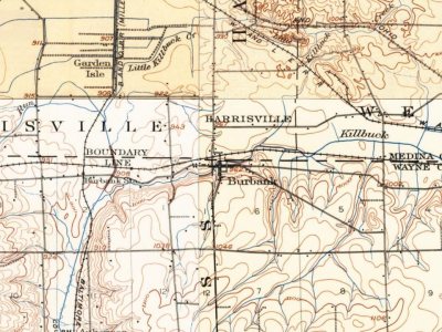
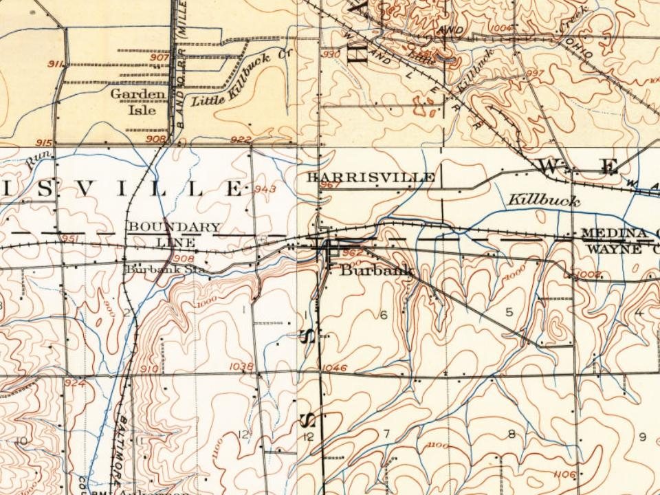
Burbank on the map, 1901 to 1961

Every edition of the U.S. Geological Survey’s map of Burbank. Tap a year, or press play to watch the town change.

Burbank on the 1901 USGS mapBurbank on the 1961 USGS map1901Wooster sheet · 1:62,500

U.S. Geological Survey historical topographic maps (public domain), via Esri’s collection of the scans. The red ring marks the center of Burbank.

People over time

Burbank, census by census

010020030040018801900192019401960198020002020Peak: 393

Between 207 and 393 people in every census since 1870.

16 censuses, 1870–2020.

U.S. Census Bureau decennial counts, from the census table on Burbank’s Wikipedia page.

Stories next door

History across the town line

Each neighbor’s History grade, on the same three inputs.

Questions about Burbank’s history

What year was Burbank founded?

The Burbank post office opened in 1838, the earliest record of the town by name (U.S. post office records).

Memory lane

What the archives can’t tell you, neighbors can.

Town Square →
Start a conversation
Sources

Where this page comes from

Founding dates: Wikidata, Wikipedia, the U.S. post office records of Blevins & Helbock (CC0) and the Census. Homes by year built: Census ACS 2020–24. National Register of Historic Places: National Park Service (list of May 22, 2026). Old photos, postcards and papers: Wikimedia Commons, the Library of Congress and other public archives, credited on each item’s page. Maps: U.S. Geological Survey historical topographic maps (via Esri) and Sanborn fire-insurance maps (Library of Congress). History text and census tables: Wikipedia (CC BY-SA 4.0). Places that used to be: USGS Geographic Names Information System (2021). How TownRatings grades history →

From Wikimedia Commons (4), Wikidata and Wikipedia for famous people, U.S. Geological Survey historical maps, U.S. Census counts (via Wikipedia), the US Post Offices dataset (Blevins & Helbock), the USGS Geographic Names Information System and old county and town histories (Internet Archive). Archive images are copied here with their credits and licenses, shown on each photo’s page. Refreshed monthly.