
Benjamin King Woodhull House, 1750
Wading River’s story
201 years in pictures
The archive holds 4 old photos and papers going back to 1750.
- 1825Wading River is settled
Each edition grades its towns against each other only.

Wading River’s median household income is $137,000, against $82,000 in New York’s towns and $80,000 across U.S. towns. 22% of the land in Wading River is conserved, against 5.2% in New York’s towns and 4.3% across U.S. towns. Wildwood State Park, at 766 acres with 9.1 miles of trail, is the biggest park or preserve. We don’t grade Wading River yet; the figures below are still real.
Where Wading River beats most towns.
Coastal flooding makes up 11% of the storm damage FEMA expects here.
FEMA National Risk Index · OpenFEMA · OpenStreetMap
The archive holds 4 old photos and papers going back to 1750.
Wading River is unincorporated, so Suffolk County and regional agencies provide most services.
EPA SDWIS (Oct 9, 2026) · HIFLD + EIA-861 2025 · Census 2020 ZCTAs · NCES 2024–25 · registration: vote.gov, updated Aug 3, 2026.
Ordered by what stands out in Wading River.
Expected storm and flood damage is lower than in 97% of U.S. communities. Since 1979, 58 flood insurance claims have been paid out in Wading River.
FEMA flood insurance claims · FEMA National Risk Index · OpenFEMA
95% of Wading River households own their home. The typical Wading River home is worth about $754,000, up 4.4% in a year, 44% above the New York typical home.
Census ACS, 2020–24 · Zillow Home Value Index · Redfin Data Center
Most working residents leave Wading River for work: only 6% work in town. The average trip to work in Wading River is 33 minutes. Since 2013, Wading River has lost 105 jobs, to 1,431 in 2023.
| Wading River | New York towns | U.S. towns | |
|---|---|---|---|
| Average trip to work | 33 minutes | 25 minutes | 25 minutes |
| Below the poverty line | 3.4% | 9.5% | 9.6% |
| Work from home | 17% | 12% | 11% |
| Working residents who work in town | 5.6% | 10% | 8% |
Census LEHD 2023 · ACS
21 miles of trail in 4 parks and preserves. Wading River’s trail density is 1.7 miles per square mile.
| Biggest places to walk | Trails | Acres |
|---|---|---|
| 1. Calverton Pine Barrens State Forest | 10.7 mi | 187 |
| 2. Wildwood State Park | 9.1 mi | 766 |
| 3. Police Officers Memorial Park | — | 8 |
Trails & parks © OpenStreetMap contributors · Conserved land: USGS PAD-US
Wading River has chilly, snowy winters and pleasant summers. July afternoons reach 83°, January nights drop to 23° and about 32 inches of snow falls in a winter.
NOAA U.S. Climate Normals, 1991–2020
Wading River beats the New York average on 10 of 32 CDC measures and trails it on 2. 18% of adults have been diagnosed with depression in Wading River.
| Wading River | New York towns | U.S. towns | |
|---|---|---|---|
| Depression (CDC PLACES) | 18% | 21% | 23% |
| Feel lonely (CDC PLACES) | 28% | 32% | 33% |
| Smoke cigarettes (CDC PLACES) | 10% | 13% | 14% |
| Obesity (CDC PLACES) | 30% | 33% | 35% |
| What stands out | Wading River | NY |
|---|---|---|
| Fewer adults facing food insecurity | 10.6% | 17.2% |
| Fewer adults facing housing insecurity | 9.5% | 14.5% |
| More adults who have had cancer | 9.7% | 7.7% |
CDC PLACES 2025 · modeled estimates for adults · CMS · HRSA
Children under 18 are 16% of residents (21% statewide). 42% of adults 25 and older have a bachelor’s degree or more, vs 40% across New York.
| Wading River | New York towns | U.S. towns | |
|---|---|---|---|
| Under 18 | 16% | 20% | 22% |
| Median age | 46.7 years | 43 years | 40.5 years |
| Bachelor’s degree or more, 25+ | 42% | 32% | 29% |
| Aged 65 or older | 21% | 20% | 18% |
51% women, 49% men
That’s an even split within the survey’s margin of ±4.4 points. Across New York, 51.2% of residents are women. Among residents 25 to 34, 75% are men (NY 50%).
| Wading River | NY | U.S. | |
|---|---|---|---|
| Under 10 | 9.5% | 11% | 11.6% |
| 10 to 17 | 6.2% | 9.5% | 10.3% |
| 18 to 24 | 9.8% | 8.9% | 9.1% |
| 25 to 34 | 12.1% | 14.2% | 13.7% |
| 35 to 44 | 11% | 13% | 13.2% |
| 45 to 54 | 9.8% | 12.2% | 12.2% |
| 55 to 64 | 20.7% | 13.3% | 12.7% |
| 65 to 74 | 16.1% | 10.3% | 10.2% |
| 75 and older | 4.8% | 7.6% | 7% |
| No diploma | 9.3% | 12% | 10.4% |
| High school | 23.3% | 24.3% | 26% |
| Some college | 18.1% | 14.6% | 19.1% |
| Associate’s | 7.5% | 8.8% | 8.8% |
| Bachelor’s | 18.9% | 22.4% | 21.6% |
| Graduate | 22.8% | 17.9% | 14.1% |
U.S. Census Bureau · ACS 2020-2024 5-year estimates
Museums, parks, gardens and other places to visit around Wading River. Close and well known come first.
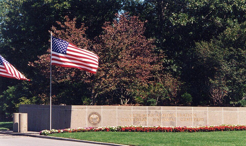 in town LandmarkCalverton National Cemetery
 26 mi Stadium & arenaYale Bowl
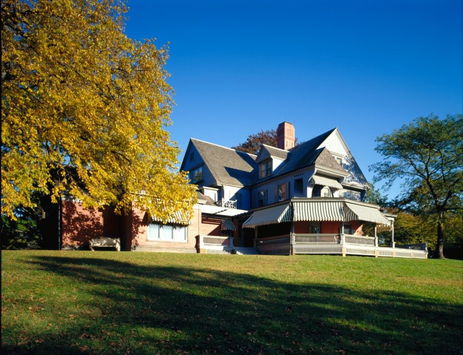 35 mi National Historic SiteSagamore Hill National Historic Site122K visitors a year
 39 mi MuseumGlass House
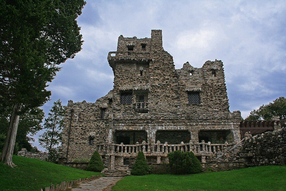 38 mi State parkGillette Castle State Park
 7 mi Park & preserveLong Island Central Pine Barrens
Calverton National Cemetery: United States Department of Veterans Affairs, Public domain · Yale Bowl: Kenneth Zirkel, CC BY-SA 4.0 · Sagamore Hill National Historic Site: Unknown, Public domain · Glass House: Carol M. Highsmith, Public domain · Gillette Castle State Park: Original uploader was Kevinpepin at en.wikipedia, Public domain · Long Island Central Pine Barrens: Americasroof, CC BY-SA 3.0
1 within 15 miles of the center of Wading River
About 6 of every 100 Wading River residents are enrolled in college, about the same as New York.
Where Wading River’s working residents go each day. Line width shows the share.
Census LEHD 2023
Hamlet and census-designated place in New York, United States
Wading River is a hamlet and census-designated place (CDP) in Suffolk County, New York, United States, on the North Shore of Long Island. As of the 2020 census, Wading River had a population of 7,731. It is adjacent to Shoreham and shares a school district. Most of Wading River lies within the Town of Riverhead, but a small portion is in the Town of Brookhaven. The name of the hamlet comes from the original Algonquian name for the area, Pauquaconsuk, meaning "the place where we wade for thick, round-shelled clams". It was also previously known as “Lonsefekwa”. "Wading in the River" or Wading River was adopted by the first English colonists.
From Wikipedia, licensed CC BY-SA 4.0 · facts via Wikidata (CC0)
6 towns share a border with Wading River.
| Town | NY rank | Overall | Cost | Safety | Schools | Health |
|---|---|---|---|---|---|---|
| Wading River | — | — | — | — | — | — |
| Riverhead | #649 | C− | D− | C | C− | B |
| Brookhaven | #295 | B | D− | — | B | A− |
| East Shoreham | — | — | — | — | — | — |
| Calverton | — | — | — | — | — | — |
| Baiting Hollow | — | — | — | — | — | — |
| Ridge | — | — | — | — | — | — |
Brookhaven reports no FBI crime data of its own. Wading River, East Shoreham, Calverton, Baiting Hollow and Ridge aren’t graded (fewer than 1,000 residents, or not enough data). Compare Wading River with a neighbor →
Short answers, built from the data on this page.
We don’t grade Wading River yet; the figures below are still real.


