The Tappan tribe were a Lenape people who inhabited the region radiating from the Hudson Palisades and the New York – New Jersey Highlands at the time of European colonization in the 17th century. "Tappan" is derived from the Lenape word "tuphanne" thought to mean "cold water."
The first Orange County courthouse was built in 1691 in Tappan, though by 1737, sessions alternated between Tappan and Goshen. The first school house in Rockland County was built in 1711 in Tappan. It was used as a school until 1860. There would not be another school in the county until late in the 18th century.
The Massacre at Herringtown or Old Tappan.* On the night of the 27th of September, 177S, about three miles southwest of the village of Tappan, occurred one of the most bloody massacres of the Revolution, which, but for the humanity of a British captain, who disobeyed the orders of his superior officers, would have equaled in its atrocity the Groton massacre.
Text read by machine from the scan; it may contain errors.
After practicing in the city for a year, he removed, in 1847, to Tappan, where, with the exception of two winters, spent in attendance on lectures in the college just named and at Bellevue Hospital, he has practiced till now. His practice has extended over the parts of Rockland and Bergen counties contiguous to Tappan. He has been Health Officer of Orangetown two terms, and is now serving for a third term as a Coroner of the county.
Text read by machine from the scan; it may contain errors.
Scans and text from the Internet Archive. Books published in 1930 or earlier, which are in the public domain.
By decade
Tappan, decade by decade
2 decades in the archive, from the 1830s to the 1840s. Scroll each row; tap a photo for its story.
Founding dates: Wikidata, Wikipedia, the U.S. post office records of Blevins & Helbock (CC0) and the Census. Homes by year built: Census ACS 2020–24. National Register of Historic Places: National Park Service (list of May 22, 2026). Old photos, postcards and papers: Wikimedia Commons, the Library of Congress and other public archives, credited on each item’s page. Maps: U.S. Geological Survey historical topographic maps (via Esri) and Sanborn fire-insurance maps (Library of Congress). History text and census tables: Wikipedia (CC BY-SA 4.0). Places that used to be: USGS Geographic Names Information System (2021). How TownRatings grades history →
From Wikimedia Commons (5), the Library of Congress (1), Wikipedia, Wikidata and Wikipedia for famous people, U.S. Geological Survey historical maps and old county and town histories (Internet Archive). Archive images are copied here with their credits and licenses, shown on each photo’s page. Refreshed monthly.


 2007
 2007
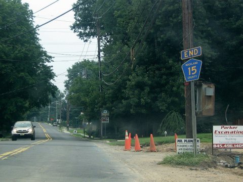 2007
 2007