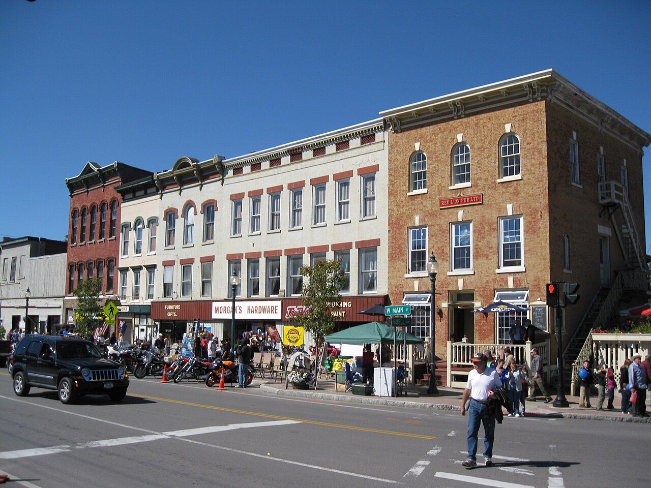
Sangerfield in pictures
The archive holds 4 old photos and papers going back to 2023.
3 places on the National Register of Historic Places.
Explore the history →Each edition grades its towns against each other only.

A town of 2,249. Home to 3 places on the National Register of Historic Places.
Sangerfield’s best subject grades are an A− for cost of living and the outdoors and an A+ for history. On cost of living, just 90 of New York’s 1,215 towns do better. Sangerfield’s July high is 79°F, below both New York’s towns (81°F) and U.S. towns (85°F). On history, just 33 of New York’s 1,216 towns do better. Albert J. Woodford Memorial State Forest, at 680 acres with 9.8 miles of trail, is the biggest park or preserve. Sangerfield has fewer than 2,500 residents, so it gets subject grades but no overall grade.
Where Sangerfield beats most towns.
Each subject compared with towns across the country (schools within New York), ordered by how far Sangerfield is from typical.
How TownRatings grades towns →
The archive holds 4 old photos and papers going back to 2023.
3 places on the National Register of Historic Places.
Explore the history →Who provides power, water and the rest in Sangerfield, and how to reach them.
EPA SDWIS (Oct 9, 2026) · HIFLD + EIA-861 2025 · Census 2020 ZCTAs · NCES 2024–25 · registration: vote.gov, updated Aug 3, 2026.
Ordered by what stands out in Sangerfield.
Expected storm and flood damage is lower than in 80% of U.S. communities. One flood insurance claim has been paid in Sangerfield since 2013.
FEMA flood insurance claims · FEMA National Risk Index · OpenFEMA
Its public schools are run by the Waterville Central School District. Its one school is below. The largest public high school is Waterville Jr./Sr. High School, with 349 students.
| School | Level | Students | Letter |
|---|---|---|---|
| Waterville Jr./Sr. High SchoolLargest public high schoolGrades 7–12 | Grades 7–12 | 349 | C+ |
NCES · EDFacts · graded within NY on state tests and graduation
Sangerfield beats the New York average on 7 of 32 CDC measures and trails it on 6. 18% of adults binge drink in Sangerfield, above both the New York town median (17%) and the median of U.S. towns (16%). 21% of adults have been diagnosed with depression in Sangerfield.
| Sangerfield | New York towns | U.S. towns | |
|---|---|---|---|
| Binge drink (CDC PLACES) | 18% | 17% | 16% |
| Depression (CDC PLACES) | 21% | 21% | 23% |
| No health insurance, 18–64 (CDC PLACES) | 5.1% | 5.9% | 8.1% |
| Sleep under 7 hours (CDC PLACES) | 38% | 37% | 36% |
| What stands out | Sangerfield | NY |
|---|---|---|
| Fewer adults facing food insecurity | 11.1% | 17.2% |
| Fewer uninsured adults | 5.1% | 7.9% |
| More adults who have had cancer | 10.4% | 7.7% |
CDC PLACES 2025 · modeled estimates for adults · CMS · HRSA
Sangerfield has cold, snowy winters and pleasant summers. The January low in Sangerfield is 12°F.
NOAA U.S. Climate Normals, 1991–2020
Most working residents leave Sangerfield for work: only 14% work in town. 4.2% of Sangerfield residents live below the poverty line. Since 2013, Sangerfield has added 188 jobs, to 922 in 2023.
| Sangerfield | New York towns | U.S. towns | |
|---|---|---|---|
| Below the poverty line | 4.2% | 9.5% | 9.6% |
| Working residents who work in town | 14% | 10% | 8% |
| Work from home | 15% | 12% | 11% |
| Median household income | $92,000 | $82,000 | $80,000 |
Census LEHD 2023 · ACS
| Sangerfield | New York towns | U.S. towns | |
|---|---|---|---|
| Conserved land | 9.7% | 5.2% | 4.3% |
| Miles of trail per square mile | 0.6 miles per square mile | 0.4 | 0.4 |
| Biggest places to walk | Trails | Acres |
|---|---|---|
| 1. Albert J. Woodford Memorial State Forest | 9.8 mi | 680 |
| 2. Mount Hunger State Forest | 1 mi | 592 |
| 3. Gorton Lake State Forest | — | 214 |
Trails & parks © OpenStreetMap contributors · Conserved land: USGS PAD-US
Museums, parks, gardens and other places to visit around Sangerfield. Close and well known come first.
Big draw27 mi MuseumNational Baseball Hall of Fame and Museum315K visitors a year
40 mi Stadium & arenaJMA Wireless Dome22 mi LandmarkFort Dayton
22 mi National MonumentFort Stanwix National Monument78K visitors a year
17 mi Stadium & arenaUtica Memorial Auditorium
32 mi State parkGreen Lakes State ParkNational Baseball Hall of Fame and Museum: Beyond My Ken, CC BY-SA 4.0 · JMA Wireless Dome: Jimhoward03, CC BY-SA 4.0 · Fort Stanwix National Monument: NPS photo, Public domain · Utica Memorial Auditorium: Doug Kerr, CC BY-SA 2.0 · Green Lakes State Park: Ebedgert at English Wikipedia, Public domain
4 within 15 miles of the center of Sangerfield
About 2 of every 100 Sangerfield residents are enrolled in college, against 7 across New York.
3 notable people were born in Sangerfield.
Town in New York, United States
Sangerfield is a town in Oneida County, New York, United States. The population was 2,561 at the 2010 census. The town is named after Jedediah Sanger, an early settler. The Town of Sangerfield is on the county's southern border.
From Wikipedia, licensed CC BY-SA 4.0 · facts via Wikidata (CC0)
4 towns share a border with Sangerfield.
| Town | NY rank | Overall | Cost | Safety | Schools | Health |
|---|---|---|---|---|---|---|
| Sangerfield | — | — | A− | — | B− | B+ |
| Marshall | — | — | B− | — | B− | B+ |
| Madison | #595 | C− | C+ | — | D | B+ |
| Bridgewater | — | — | B+ | — | B− | C− |
| Brookfield | — | — | A− | — | D | C |
Sangerfield, Marshall, Bridgewater and Brookfield have fewer than 2,500 residents, so they get subject grades but no overall grade. Sangerfield, Marshall, Madison, Bridgewater and Brookfield report no FBI crime data of their own. Compare Sangerfield with a neighbor →
Short answers, built from the data on this page.
Home to 3 places on the National Register of Historic Places.
Not for the area. Cost of living, which also weighs rents, property taxes and how many households pay 30% or more of their income for housing, grades A−.
Sangerfield has 3 places on the National Register of Historic Places. 3 notable people were born here, including David Johnson and Harold Hoehner.