Founding year: the first Bloomfield post office (Blevins & Helbock, CC0).The full story ↓
History grade
What drives Bloomfield’s History grade
On its age, its old homes and the National Register, Bloomfield is more historic than 96% of U.S. towns. All 3 inputs are above most U.S. towns; its National Register listings ranks highest and its age lowest.
A+
HistoryA character grade: shown, never part of Bloomfield’s overall grade.
New York towns list more on the Register than most of the country (a typical New York town has 12.3 per 10,000 residents, the U.S. 2.4), so Bloomfield’s 634 sits above most of its state (93% of New York towns have fewer) while its 83 historic buildings outnumber those of 88% of U.S. towns.
How sure. Graded on any two of the three inputs instead, the letter would range from A to A+. The pre-1940 share is a Census survey estimate (±6.8 points). The founding year is the first post office, not a stated founding date.
Founding year: the first post office (other dates in Quick answers). Homes: Census ACS 2020–24. National Register: National Park Service, May 2026 list; each listing counted once (boundary changes and added documentation belong to their listing), and a historic district counts its contributing buildings. How TownRatings grades history →
What stands out about Bloomfield’s past
Read from the archive, the National Register and the record. The page puts what stands out first.
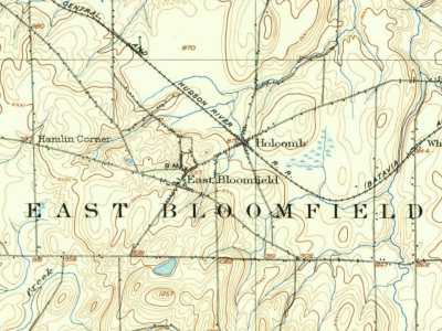
The village was part of the Phelps and Gorham Purchase (1788). It was incorporated in 1990 to combine the two adjacent communities of Holcomb and East Bloomfield.
The St. Bridget's Roman Catholic Church Complex and St. Peter's Episcopal Church are listed on the National Register of Historic Places.
Passages that mention Bloomfield, cut from the printed page as they were published.
History of ancient Windsor, Connecticut, including East Windsor, South Windsor, and Ellington, prior to 1768, the date of their separation from the old town1859 · page 379Read the page →
Read the text
In 1845, Wintonbury parish, together with a portion of Poquonnoc society in Windsor, was incorporated as the town of Bloomfield. To this was added, in 1840, a portion of Simsbury, known as Scotland parish. The town of Bloomfield, as now constituted, is bounded n. and e. by Windsor, s. by Hartford, and w. by Simsbury, and averages four miles in length and breadth. On the east border of the town there is a forest extending the whole length of the township, and about one and a
Text read by machine from the scan; it may contain errors.
History of the old towns, Norridgewock and Canaan, comprising Norridgewock, Canaan, Starks, Skowhegan, and Bloomfield, from their early settlement to the year 18491849 · page 105Read the page →
Read the text
Crossing the bridge into Bloomfield, the traveller will pause to admire the Falls of Skowhegan, elsewhere described, and rising to the higher parts of the village of Bloomfield, he will see spread out before him the two towns, forming one beautiful village. Business will pass him in various forms, and the activity and air of industry which pervade everything he sees, will
Text read by machine from the scan; it may contain errors.
History of the old towns, Norridgewock and Canaan, comprising Norridgewock, Canaan, Starks, Skowhegan, and Bloomfield, from their early settlement to the year 18491849 · page 298Read the page →
Read the text
field, yet Skowhegan was peopled at an early date. The natural boundary made by the river, soon led the people to aim at a separation from Bloomfield, and the inconvenient size of the town of Canaan, after the separation from Bloomfield, caused the people to aim at the erection of a new town.
Text read by machine from the scan; it may contain errors.
History of Ontario county, New York1893 · page 406Read the page →
Read the text
pied and as densely populated as any other part of the Genesee country. The originally formed town of Bloomfield was a large territory, from which four distinct townships were created, and these divisions make it impossible to state the population of the mother town in such manner as to throw any light on the number of inhabitants of East Bloomfield previous to its separate erection. However, we may state that the population of Bloomfield, as existing in 1830, was 3,861, there then being only three large towns in the county. In this con-
Text read by machine from the scan; it may contain errors.
Scans and text from the Internet Archive. Books published in 1930 or earlier, which are in the public domain.
By decade
No old photos in the archives yet
Weddings on Main Street, storms, parades, school pictures, the old store. If it’s in your family album, it belongs here.
Be the first to add onePhotograph a print flat, in daylight, no flash.
The Bloomfield post office opened in 1802, the earliest record of the town by name (U.S. post office records).
How does Bloomfield rank for history?
Bloomfield is more historic than 96% of U.S. towns. The History grade combines the town’s founding era, the share of homes built before 1940 and its National Register listings. It’s a character grade, so it isn’t part of the overall grade. How it works.
How old are the homes in Bloomfield?
35% of Bloomfield’s homes were built before 1940 (Census estimate, ±6.8 points), against a typical 27% for a New York town; the median home was built in 1964.
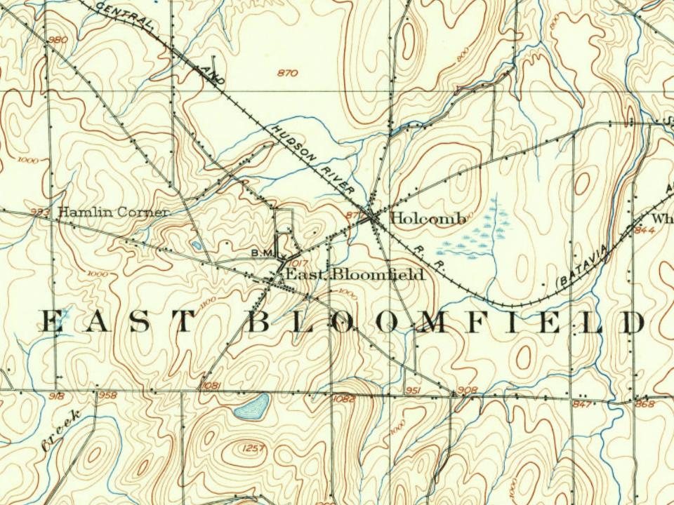
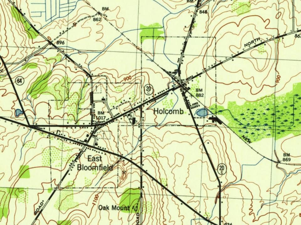
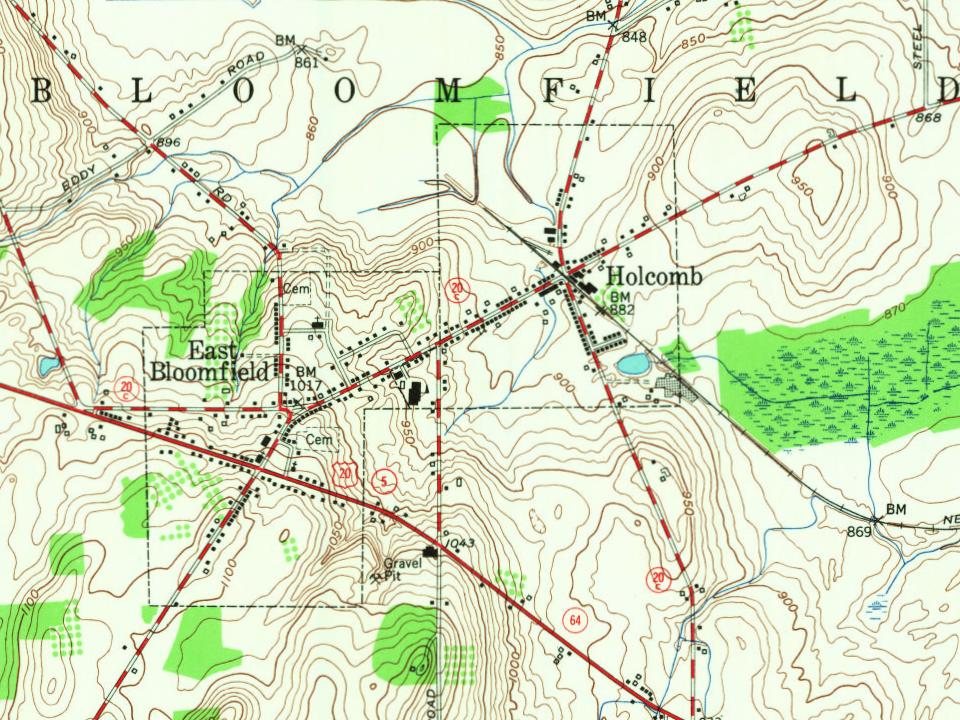
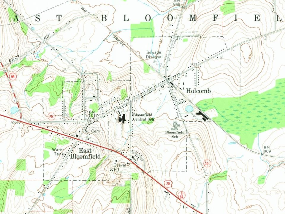
Founding dates: Wikidata, Wikipedia, the U.S. post office records of Blevins & Helbock (CC0) and the Census. Homes by year built: Census ACS 2020–24. National Register of Historic Places: National Park Service (list of May 22, 2026). Old photos, postcards and papers: Wikimedia Commons, the Library of Congress and other public archives, credited on each item’s page. Maps: U.S. Geological Survey historical topographic maps (via Esri) and Sanborn fire-insurance maps (Library of Congress). History text and census tables: Wikipedia (CC BY-SA 4.0). Places that used to be: USGS Geographic Names Information System (2021).
From Wikipedia, Wikidata and Wikipedia for famous people, U.S. Geological Survey historical maps, U.S. Census counts (via Wikipedia) and old county and town histories (Internet Archive). Archive images are copied here with their credits and licenses, shown on each photo’s page. Refreshed monthly.