
Argyle NY Fire-Rescue Department Fire Engine at July 4th Parade, 2003
Argyle’s story
221 years in pictures
The archive holds 6 old photos and papers going back to 2003 and 4 maps from 1895 on.
- 1805Argyle is settled
Each edition grades its towns against each other only.
Most errands need a car: it is less walkable than 96% of U.S. towns. Overall it grades B−, ranked 434th of 745 in New York. Natural-hazard risk is low. Argyle’s average trip to work is 36 minutes, against 25 minutes in New York’s towns and 25 minutes across U.S. towns. Only 33 of New York’s 1,216 towns score lower on the outdoors.
Where Argyle beats most towns.
Where Argyle’s working residents go each day. Line width shows the share.
Census LEHD 2023
Each subject compared with towns across the country (schools within New York), ordered by how far Argyle is from typical.
How TownRatings grades towns →
The archive holds 6 old photos and papers going back to 2003 and 4 maps from 1895 on.
Museums, parks, gardens and other places to visit around Argyle. Close and well known come first.
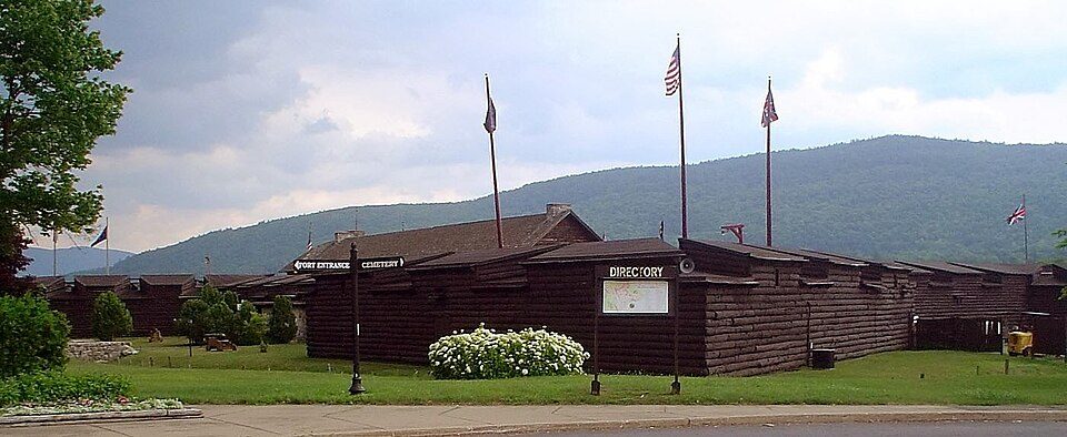 18 mi LandmarkFort William Henry
 27 mi LakeLake George
 13 mi Theme parkGreat Escape
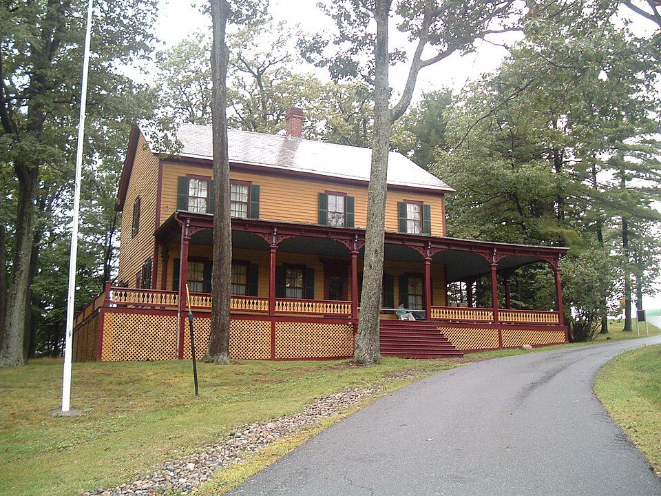 14 mi State parkGrant Cottage State Historic Site
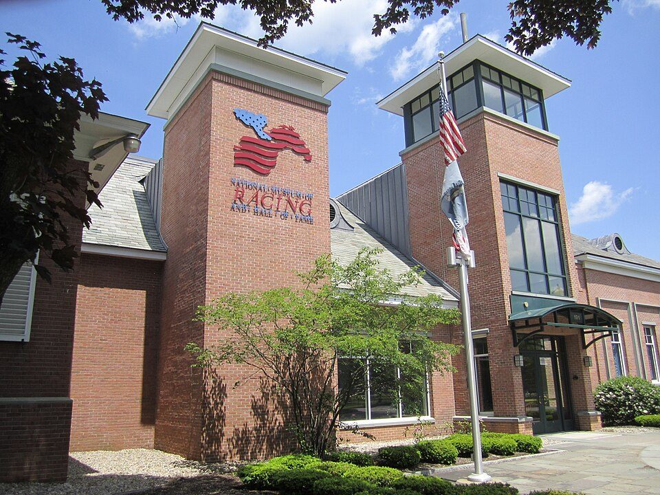 18 mi MuseumNational Museum of Racing and Hall of Fame
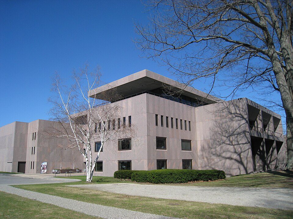 39 mi MuseumClark Art Institute
Fort William Henry: IrisKawling at en.wikipedia, Public domain · Lake George: Sixlocal, CC BY-SA 3.0 · Great Escape: Jared and Corin, CC BY-SA 2.0 · Grant Cottage State Historic Site: Coingeek at English Wikipedia, Public domain · National Museum of Racing and Hall of Fame: Peter Flass, CC BY 3.0 · Clark Art Institute: Daderot, Public domain
Who provides power, water and the rest in Argyle, and how to reach them.
EPA SDWIS (Oct 9, 2026) · HIFLD + EIA-861 2025 · Census 2020 ZCTAs · NCES 2024–25 · registration: vote.gov, updated Aug 3, 2026.
Ordered by what stands out in Argyle.
The typical Argyle home is worth about $272,000, up 4% in a year, 48% below the New York typical home. 90% of households own their home in Argyle.
| Argyle | New York towns | U.S. towns | |
|---|---|---|---|
| Households that own their home | 90% | 75% | 73% |
| Median rent | $1,068 a month | $1,103 a month | $1,185 a month |
Census ACS, 2020–24 · Zillow Home Value Index · Redfin Data Center
Its public schools are run by the Argyle Central School District. Its two schools are below.
| School | Level | Students | Letter |
|---|---|---|---|
| Argyle Elementary SchoolLargest public elementary schoolGrades PK–6 | Grades PK–6 | 253 | C |
| Argyle Junior/Senior High SchoolLargest public high schoolGrades 7–12 | Grades 7–12 | 247 | B− |
NCES · EDFacts · graded within NY on state tests and graduation
Expected storm and flood damage is lower than in 81% of U.S. communities. One flood insurance claim has been paid in Argyle since 2011.
FEMA flood insurance claims · FEMA National Risk Index · OpenFEMA
Most working residents leave Argyle for work: only 11% work in town. 4.5% of Argyle residents live below the poverty line. Since 2013, Argyle has added 38 jobs, to 747 in 2023.
| Argyle | New York towns | U.S. towns | |
|---|---|---|---|
| Below the poverty line | 4.5% | 9.5% | 9.6% |
| Working residents who work in town | 11% | 10% | 8% |
Census LEHD 2023 · ACS
Argyle has cold, snowy winters and pleasant summers. July afternoons reach 82°, January nights drop to 12° and about 75 inches of snow falls in a winter.
NOAA U.S. Climate Normals, 1991–2020
Argyle beats the New York average on 5 of 32 CDC measures and trails it on 7.
| Argyle | New York towns | U.S. towns | |
|---|---|---|---|
| Yearly checkup (CDC PLACES) | 82% | 81% | 79% |
| Sleep under 7 hours (CDC PLACES) | 34% | 37% | 36% |
| Obesity (CDC PLACES) | 31% | 33% | 35% |
| Frequent physical distress (CDC PLACES) | 15% | 14% | 14% |
| What stands out | Argyle | NY |
|---|---|---|
| Fewer adults facing food insecurity | 12% | 17.2% |
| Fewer uninsured adults | 5.6% | 7.9% |
| More adults who have had cancer | 10.4% | 7.7% |
CDC PLACES 2025 · modeled estimates for adults · CMS · HRSA
2.8 miles of trail in 0 parks and preserves. Argyle’s trail density is 0.1 miles per square mile.
| Argyle | New York towns | U.S. towns | |
|---|---|---|---|
| Conserved land | 0.3% | 5.2% | 4.3% |
| Miles of trail per square mile | 0.1 miles per square mile | 0.4 | 0.4 |
Trails & parks © OpenStreetMap contributors · Conserved land: USGS PAD-US
1 within 15 miles of the center of Argyle
About 3 of every 100 Argyle residents are enrolled in college, against 7 across New York.
5 towns share a border with Argyle.
| Town | NY rank | Overall | Cost | Safety | Schools | Health |
|---|---|---|---|---|---|---|
| Argyle | #434 | B− | B− | — | B− | B |
| Greenwich | #312 | B | C+ | — | B | A− |
| Fort Edward | #641 | C− | B− | — | C− | B+ |
| Hebron | — | — | C | — | C | B |
| Hartford | — | — | B− | — | C+ | B− |
| Kingsbury | #573 | C | B− | — | D | B |
Hebron and Hartford have fewer than 2,500 residents, so they get subject grades but no overall grade. Argyle, Greenwich, Fort Edward, Hebron, Hartford and Kingsbury report no FBI crime data of their own. Compare Argyle with a neighbor →
Short answers, built from the data on this page.
Argyle grades B− overall, better than 45% of U.S. towns and #434 of 745 in New York. It grades B for health and B− for schools. Walkability is its weak spot, with a D−.
That is 3.6 years of the area's median household income ($75,836 across the Glens Falls, NY metro area). Cost of living, which also weighs rents, property taxes and how many households pay 30% or more of their income for housing, grades B−.


