131 years in pictures
The archive holds 24 old photos and papers going back to 1880 and 2 maps from 1956 on.
1 place on the National Register of Historic Places.
- 1895Baker is settled
Each edition grades its towns against each other only.

Among 43 Nevada towns, just 3 have a lower January low than Baker. Baker Ranger Station and Johnson Lake Mine Historic District is on the National Register of Historic Places. We don’t grade Baker yet; the figures below are still real.
Where Baker beats most towns.
The archive holds 24 old photos and papers going back to 1880 and 2 maps from 1956 on.
1 place on the National Register of Historic Places.
Baker is unincorporated, so White Pine County and regional agencies provide most services.
EPA SDWIS (Oct 9, 2026) · HIFLD + EIA-861 2025 · Census 2020 ZCTAs · NCES 2024–25 · registration: vote.gov, updated Nov 18, 2024.
Ordered by what stands out in Baker.
Expected storm and flood damage is lower than in 80% of U.S. communities.
FEMA National Risk Index · OpenFEMA
Its public schools are run by the White Pine County School District. Its one school is below.
| School | Level | Students | Letter |
|---|---|---|---|
| Baker ElementaryLargest public elementary schoolGrades 3–6 | Grades 3–6 | 12 | – |
NCES · EDFacts
Baker has chilly winters and hot summers, with very little rain. At 93°F, Baker’s July high is against 94°F in Nevada’s towns and 85°F across U.S. towns.
NOAA U.S. Climate Normals, 1991–2020
Baker beats the Nevada average on 2 of 32 CDC measures and trails it on 11. 19% of adults report frequent physical distress in Baker, where Nevada’s towns sit at 15% and U.S. towns at 14%. 17% of Baker adults have diabetes.
| Baker | Nevada towns | U.S. towns | |
|---|---|---|---|
| Frequent physical distress (CDC PLACES) | 19% | 15% | 14% |
| Diabetes (CDC PLACES) | 17% | 12% | 12% |
| Fair or poor health (CDC PLACES) | 29% | 22% | 19% |
| High blood pressure (CDC PLACES) | 42% | 35% | 35% |
| What stands out | Baker | NV |
|---|---|---|
| More adults screened for colon cancer | 67.5% | 58.6% |
| More adults treating high blood pressure | 78.8% | 72.2% |
| More adults with heart disease | 10.6% | 6.4% |
CDC PLACES 2025 · modeled estimates for adults · CMS · HRSA
None within 15 miles of Baker; the nearest are
Census-designated place in Nevada, United States
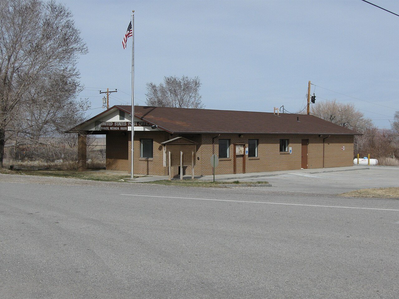
Baker is a census-designated place in southeastern White Pine County, Nevada, United States. It is located 5 miles (8.0 km) east of the main entrance of Great Basin National Park at the junction of State Routes 487 and 488. The town is named after an early settler, George W. Baker. As of the 2020 census, Baker had a population of 41. Public education is provided through the White Pine County School District. Baker 3-6 Elementary school is the only school in Baker.
From Wikipedia, licensed CC BY-SA 4.0 · facts via Wikidata (CC0)
Short answers, built from the data on this page.
We don’t grade Baker yet; the figures below are still real.