Tano RoadNM
A town of 1,586.
Is Tano Road a good place to live?
Tano Road’s best subject grade is an A for health; its weakest is a D for cost of living. 52% of residents are 65 or older in Tano Road, above both New Mexico’s towns (17%) and U.S. towns (18%). Only 4 of New Mexico’s 161 towns score higher on health. Tano Road’s trail density is 1.4 miles per square mile, above both the New Mexico town median (1.0) and the median of U.S. towns (0.4). Tano Road has fewer than 2,500 residents, so it gets subject grades but no overall grade.
What makes Tano Road stand out
Where Tano Road beats most towns.
95% of working residents leave Tano Road for work
Where Tano Road’s working residents go each day. Line width shows the share.
Census LEHD 2023
How Tano Road grades
Each subject compared with towns across the country (schools within New Mexico), ordered by how far Tano Road is from typical.
How TownRatings grades towns →
Georgia O'Keeffe Museum and 20 more within 40 miles
Museums, parks, gardens and other places to visit around Tano Road. Close and well known come first.
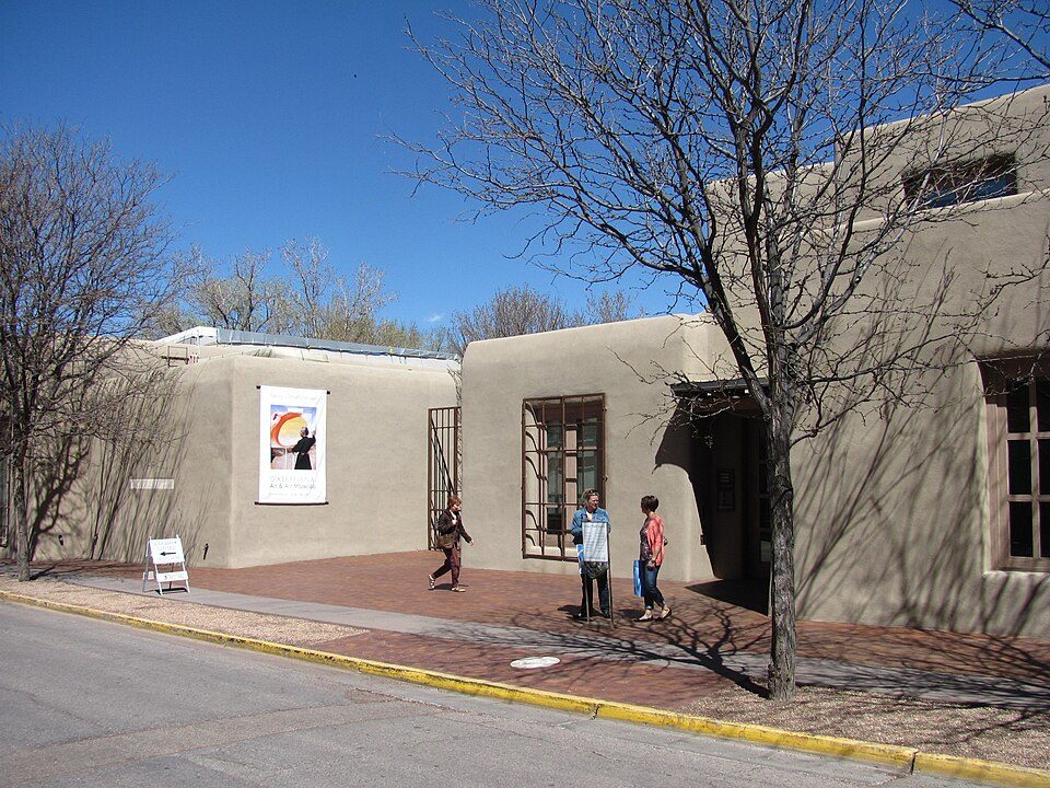 4 mi MuseumGeorgia O'Keeffe Museum
 15 mi National MonumentBandelier National Monument248K visitors a year
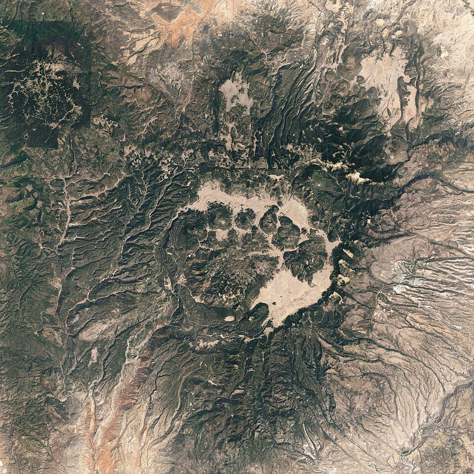 25 mi National PreserveValles Caldera National Preserve85K visitors a year
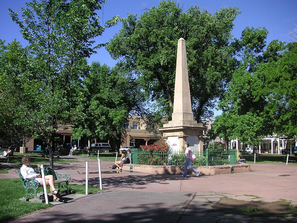 4 mi Park & preserveSanta Fe Plaza
 16 mi National Historical ParkPecos National Historical Park37K visitors a year
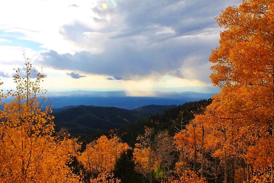 11 mi Ski areaSki Santa Fe, Santa Fe, Q3855588 runs · 1,753 ft vertical
Photo credits
Georgia O'Keeffe Museum: John Phelan, CC BY 3.0 · Bandelier National Monument: Andrew Dunn (talk · contribs), CC BY-SA 2.0 · Valles Caldera National Preserve: Jesse Allen and Robert Simmon, Public domain · Santa Fe Plaza: See above, CC BY 2.0 · Pecos National Historical Park: Mosamiazaz at English Wikipedia, Public domain · Ski Santa Fe, Santa Fe, Q38555: Ybratcher, CC BY-SA 4.0


Moving to Tano Road: who provides what
Tano Road is unincorporated, so Santa Fe County and regional agencies provide most services.
EPA SDWIS (Oct 9, 2026) · HIFLD + EIA-861 2025 · Census 2020 ZCTAs · NCES 2024–25 · registration: vote.gov, updated Aug 27, 2026.
The data
Ordered by what stands out in Tano Road.
A smaller share of adults have obesity in Tano Road than in most of New Mexico or the rest of the country
21% of Tano Road adults have obesity. Among 74 New Mexico towns, just 4 have a lower share of adults who have been diagnosed with depression than Tano Road. 40% of Tano Road adults have high blood pressure.
| Tano Road | New Mexico towns | U.S. towns | |
|---|---|---|---|
| Obesity (CDC PLACES) | 21% | 35% | 35% |
| Frequent mental distress (CDC PLACES) | 9% | 16% | 17% |
| Binge drink (CDC PLACES) | 8.8% | 13% | 16% |
| Sleep under 7 hours (CDC PLACES) | 25% | 34% | 36% |
| What stands out | Tano Road | NM |
|---|---|---|
| Fewer adults facing food insecurity | 4.7% | 20.9% |
| Fewer adults facing housing insecurity | 3.8% | 16.5% |
| More adults who have had cancer | 16.2% | 7.4% |
CDC PLACES 2025 · modeled estimates for adults · CMS · HRSA
Tano Road stands out in New Mexico and nationally, with the median household income higher than most
Tano Road’s median household income is $183,000. Since 2013, Tano Road has lost 70 jobs, to 194 in 2023. 9.8% of residents live below the poverty line in Tano Road.
| Tano Road | New Mexico towns | U.S. towns | |
|---|---|---|---|
| Median household income | $183,000 | $55,000 | $80,000 |
| Average trip to work | 35 minutes | 23 minutes | 25 minutes |
| Below the poverty line | 9.8% | 21% | 9.6% |
| Working residents who work in town | 4.8% | 14% | 8% |
Where working residents work
Census LEHD 2023 · ACS
In Tano Road, expect four seasons and pleasant summers
Tano Road has chilly winters and warm summers, with very little rain. The July high in Tano Road is 85°F.
Typical low → high °F
NOAA U.S. Climate Normals, 1991–2020
Tano Road faces a high natural-hazard risk, led by wildfire
Expected storm and flood damage is higher than in 61% of U.S. communities.
FEMA National Risk Index · OpenFEMA
Homes in Tano Road sell for about $1.28M
Of the 74 New Mexico towns we compare, none has a higher share of households owning their home than Tano Road.
Census ACS, 2020–24 · Zillow Home Value Index · Redfin Data Center
| Biggest places to walk | Trails | Acres |
|---|---|---|
| 1. La Tierra Trails | 0.1 mi | 2 |
Trails & parks © OpenStreetMap contributors · Conserved land: USGS PAD-US
Everything we know about Tano Road
Colleges nearby
5 within 15 miles of the center of Tano Road
About 2 of every 100 Tano Road residents are enrolled in college, against 6 across New Mexico.
Tano Road’s neighbors
5 towns share a border with Tano Road.
| Town | NM rank | Overall | Cost | Safety | Schools | Health |
|---|---|---|---|---|---|---|
| Tano Road | — | — | D | — | B | A |
| La Tierra | — | — | — | — | — | — |
| Santa Fe | #22 | C | C− | D− | B | A− |
| Las Campanas | — | — | D | — | B | B+ |
| Tres Arroyos | — | — | C | — | B | A− |
| Tesuque | — | — | C− | — | B | B |
Tano Road, Las Campanas, Tres Arroyos and Tesuque have fewer than 2,500 residents, so they get subject grades but no overall grade. Tano Road, Las Campanas, Tres Arroyos and Tesuque report no FBI crime data of their own. La Tierra isn’t graded (fewer than 1,000 residents, or not enough data). Compare Tano Road with a neighbor →
Questions about Tano Road
Short answers, built from the data on this page.
Is Tano Road, NM expensive?
Yes. The typical home is worth about $1,134,000, 259% above the New Mexico typical home. Cost of living, which also weighs rents, property taxes and how many households pay 30% or more of their income for housing, grades D.