
Pilatus P-2 HB-RBP, Santa Teresa, NM, Oct97, 1997
Santa Teresa’s story
Santa Teresa in pictures
The archive holds 30 old photos and papers going back to 1997 and 2 maps from 1955 on.
Explore the history →Each edition grades its towns against each other only.

A town of 6,041.
Santa Teresa is a solid, middle-of-the-road choice. It grades C− overall, 36th among New Mexico's 72 graded towns, with no subject far below average. Its best mark is schools: its schools rank ahead of 60% of New Mexico towns. Expect to pay for it: the typical home is worth about $318K, 5.6 years of the Las Cruces metro’s $57K median household income. Most errands need a car: it is less walkable than 93% of U.S. towns. On hazard risk, just 14 of New Mexico’s 161 towns do better.
Where Santa Teresa beats most towns.
4,258 counted in 2010 and 5,044 in 2020.
U.S. Census 2010 & 2020 counts
Each subject compared with towns across the country (schools within New Mexico), ordered by how far Santa Teresa is from typical.
How TownRatings grades towns →
The archive holds 30 old photos and papers going back to 1997 and 2 maps from 1955 on.
Explore the history →Museums, parks, gardens and other places to visit around Santa Teresa. Close and well known come first.
 12 mi Stadium & arenaSun Bowl Stadium
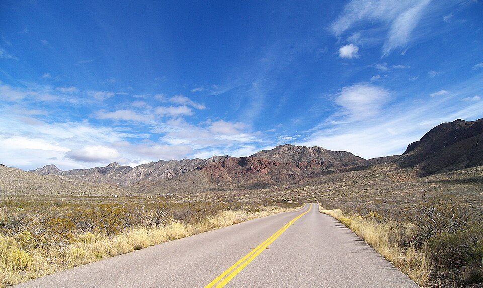 10 mi State parkFranklin Mountains State Park
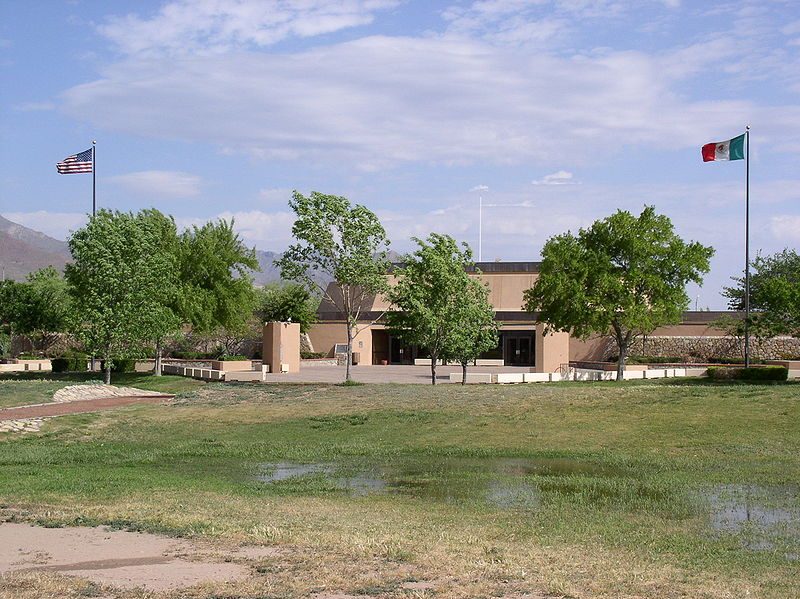 15 mi National MemorialChamizal National Memorial8K visitors a year
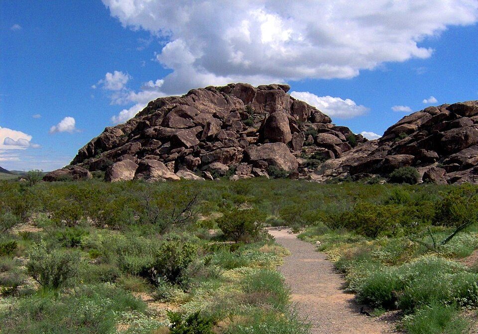 37 mi Ancient siteHueco Tanks
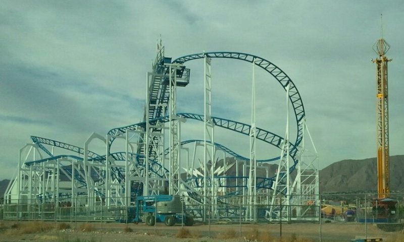 8 mi Theme parkWestern Playland
 in town MuseumWar Eagles Air Museum
Sun Bowl Stadium: Quintin Soloviev, CC BY 4.0 · Franklin Mountains State Park: Larry D. Moore, CC BY 4.0 · Chamizal National Memorial: Original uploader was Mosamiazaz at en.wikipedia, Public domain · Hueco Tanks: Brian Stansberry, CC BY 3.0 · Western Playland: Dimples915, CC BY-SA 3.0 · War Eagles Air Museum: 先従隗始, CC BY-SA 3.0
Santa Teresa is unincorporated, so Doña Ana County and regional agencies provide most services.
EPA SDWIS (Oct 9, 2026) · HIFLD + EIA-861 2025 · Census 2020 ZCTAs · NCES 2024–25 · registration: vote.gov, updated Aug 27, 2026.
Ordered by what stands out in Santa Teresa.
Santa Teresa carries less natural-hazard risk than nearly all of New Mexico (mostly inland flooding), has milder winter nights than almost anywhere else in New Mexico and sends many workers across the state line.
FEMA rates its natural-hazard risk lower than 90% of New Mexico towns; that rating is what its A− for hazard risk is built on.
At 20 of 100, Santa Teresa’s FEMA risk score is against 67 of 100 in New Mexico’s towns and 44 of 100 across U.S. towns.
FEMA National Risk Index · OpenFEMA
Its public schools are run by the Gadsden school district. Its one school is below.
| School | Level | Students | Letter |
|---|---|---|---|
| Santa Teresa ElementaryLargest public elementary schoolGrades PK–6 | Grades PK–6 | 484 | D |
NCES · EDFacts · graded within NM on state tests and graduation
January nights average 32.5°, the highest of 528 New Mexico places with climate records; July afternoons average 95.2°. The Santa Teresa Ap weather station records that about 107 days a year reach 90°, more than in 96% of U.S. towns.
At 33°F, Santa Teresa’s January low is above both the New Mexico town median (21°F) and the median of U.S. towns (22°F). Santa Teresa’s July high is 95°F. Santa Teresa has mild winters and hot summers, with very little rain.
| Santa Teresa | New Mexico towns | U.S. towns | |
|---|---|---|---|
| July high | 95°F | 93°F | 85°F |
| January low | 33°F | 21°F | 22°F |
NOAA U.S. Climate Normals, 1991–2020
People 65 and older are 12% of residents (19% statewide); children under 18 are 27% of residents (22% statewide). 38% of adults 25 and older hold a bachelor’s degree or more in Santa Teresa.
| Santa Teresa | New Mexico towns | U.S. towns | |
|---|---|---|---|
| Aged 65 or older | 12% | 18% | 18% |
| Median age | 33.2 years | 37.5 years | 40.5 years |
| Bachelor’s degree or more, 25+ | 38% | 23% | 29% |
46% women, 54% men
That’s an even split within the survey’s margin of ±5.1 points. Across New Mexico, 50.3% of residents are women.
| Santa Teresa | NM | U.S. | |
|---|---|---|---|
| Under 10 | 18.4% | 11% | 11.6% |
| 10 to 17 | 8.8% | 10.7% | 10.3% |
| 18 to 24 | 10.7% | 9.3% | 9.1% |
| 25 to 34 | 15.5% | 13.2% | 13.7% |
| 35 to 44 | 9.6% | 12.8% | 13.2% |
| 45 to 54 | 7.1% | 11.2% | 12.2% |
| 55 to 64 | 18.2% | 12.5% | 12.7% |
| 65 to 74 | 4.9% | 11.5% | 10.2% |
| 75 and older | 6.9% | 7.8% | 7% |
| No diploma | 8.7% | 12% | 10.4% |
| High school | 29.1% | 25.7% | 26% |
| Some college | 15.1% | 22.2% | 19.1% |
| Associate’s | 9.6% | 9.2% | 8.8% |
| Bachelor’s | 24.9% | 17.1% | 21.6% |
| Graduate | 12.7% | 13.9% | 14.1% |
U.S. Census Bureau · ACS 2020-2024 5-year estimates
69% of working residents cross a state line to work. Santa Teresa has about as many jobs (1,733) as working residents, but only 59 people both live and work here.
Most working residents leave Santa Teresa for work: only 4% work in town. 24% of Santa Teresa residents live below the poverty line. Jobs based in Santa Teresa grew to 1,733 in 2023, 786 more than in 2013.
| Santa Teresa | New Mexico towns | U.S. towns | |
|---|---|---|---|
| Below the poverty line | 24% | 20% | 9.6% |
| Average trip to work | 29 minutes | 23 minutes | 25 minutes |
| Working residents who work in town | 3.6% | 15% | 8% |
| Median household income | $63,000 | $55,000 | $80,000 |
Census LEHD 2023 · ACS
Against the 9,606 U.S. towns with household incomes like Santa Teresa’s, it is healthier than 58%, so its C+ isn’t only a matter of income.
Santa Teresa beats the New Mexico average on 3 of 32 CDC measures and trails it on 0.
| Santa Teresa | New Mexico towns | U.S. towns | |
|---|---|---|---|
| No health insurance, 18–64 (CDC PLACES) | 20% | 16% | 8.1% |
| Yearly checkup (CDC PLACES) | 71% | 69% | 79% |
| Food insecurity (CDC PLACES) | 25% | 23% | 14% |
| Sleep under 7 hours (CDC PLACES) | 32% | 34% | 36% |
| What stands out | Santa Teresa | NM |
|---|---|---|
| Fewer adults who have had cancer | 6% | 7.4% |
| Fewer adults with COPD | 5.4% | 6.6% |
CDC PLACES 2025 · modeled estimates for adults · CMS · HRSA
3.5 miles of trail in 0 parks and preserves. The trail density in Santa Teresa is 0.4 miles per square mile.
| Santa Teresa | New Mexico towns | U.S. towns | |
|---|---|---|---|
| Miles of trail per square mile | 0.4 miles per square mile | 1.0 | 0.4 |
| Conserved land | 3% | 4% | 4.3% |
Trails & parks © OpenStreetMap contributors · Conserved land: USGS PAD-US
The typical Santa Teresa home is worth about $318,000, down 0.8% in a year, close to the New Mexico typical home.
| Santa Teresa | New Mexico towns | U.S. towns | |
|---|---|---|---|
| Median rent | $1,356 a month | $936 a month | $1,185 a month |
| Households that own their home | 74% | 70% | 73% |
Zillow Home Value Index · Redfin Data Center
2 within 15 miles of the center of Santa Teresa
About 8 of every 100 Santa Teresa residents are enrolled in college, against 6 across New Mexico.
Census-designated place in Doña Ana County, New Mexico, United States
Santa Teresa is an unincorporated community in Dona Ana County, New Mexico, United States. It is home to the Santa Teresa Port of Entry and is part of the Las Cruces Metropolitan Statistical Area, although geographically it is considerably closer to El Paso, Texas, than to Las Cruces. While the United States Census Bureau defined Santa Teresa as a census-designated place (CDP), the census definition of the area may not precisely correspond to local understanding of the area with the same name. The population was 4,258 at the 2010 census and 5,044 at the 2020 census. The National Weather Service El Paso Weather Forecast Office that serves extreme western Texas and Southwestern New Mexico sta…
From Wikipedia, licensed CC BY-SA 4.0 · facts via Wikidata (CC0)
One town shares a border with Santa Teresa.
| Town | NM rank | Overall | Cost | Safety | Schools | Health |
|---|---|---|---|---|---|---|
| Santa Teresa | #36 | C− | C− | — | B | C+ |
| Sunland Park | #32 | C− | C | B− | B | D |
Santa Teresa reports no FBI crime data of its own. Compare Santa Teresa with a neighbor →
Short answers, built from the data on this page.
Santa Teresa grades C− overall, better than 19% of U.S. towns and #36 of 72 in New Mexico. It grades C+ for health and B for schools. Walkability is its weak spot, with a D.
Yes. Cost of living, which also weighs rents, property taxes and how many households pay 30% or more of their income for housing, grades C−.


