
Bouquet Ranch House
Pojoaque’s story
Pojoaque in pictures
Census counts: 1,261 in 2000, 2,071 in 2020. The archive holds 1 old photo or paper and 3 maps from 1953 on.
Explore the history →Each edition grades its towns against each other only.

A town of 2,327.
The best of Pojoaque’s subject grades is an A for cost of living; the weakest is a D for hazard risk. Pojoaque’s peak summer temperature is 89°F, where New Mexico’s towns sit at 93°F and U.S. towns at 85°F. Pojoaque’s trail density is 2.1 miles per square mile, where New Mexico’s towns sit at 1.0 and U.S. towns at 0.4. The biggest park or preserve is La Mesita Ranch Estate, at 57 acres. Pojoaque has fewer than 2,500 residents, so it gets subject grades but no overall grade.
Where Pojoaque’s working residents go each day. Line width shows the share.
Census LEHD 2023
Each subject compared with towns across the country (schools within New Mexico), ordered by how far Pojoaque is from typical.
How TownRatings grades towns →
Census counts: 1,261 in 2000, 2,071 in 2020. The archive holds 1 old photo or paper and 3 maps from 1953 on.
Explore the history →Museums, parks, gardens and other places to visit around Pojoaque. Close and well known come first.
 11 mi National MonumentBandelier National Monument248K visitors a year
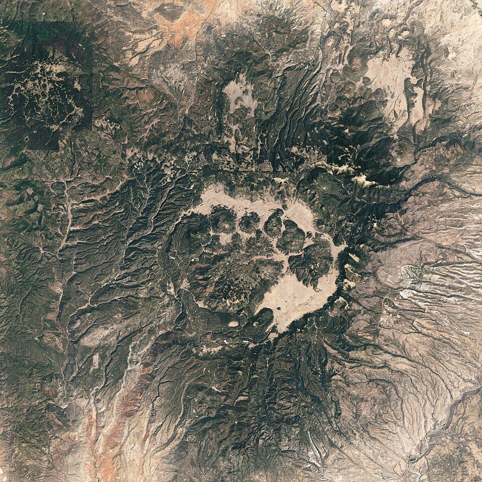 22 mi National PreserveValles Caldera National Preserve85K visitors a year
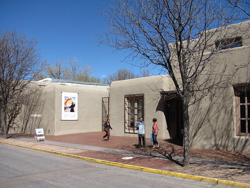 15 mi MuseumGeorgia O'Keeffe Museum
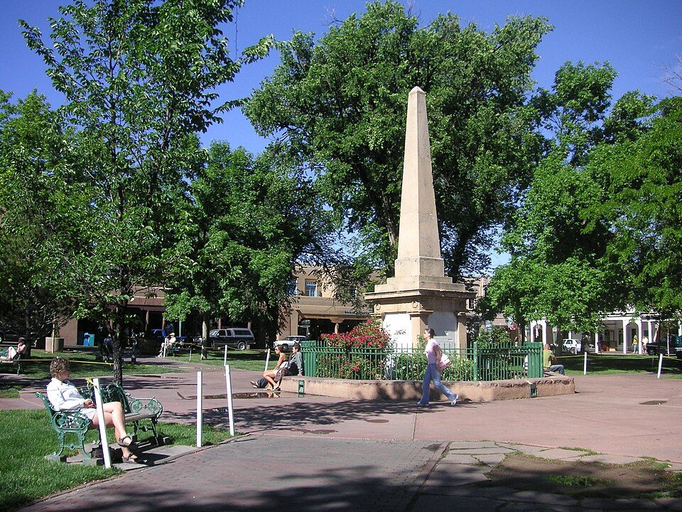 15 mi Park & preserveSanta Fe Plaza
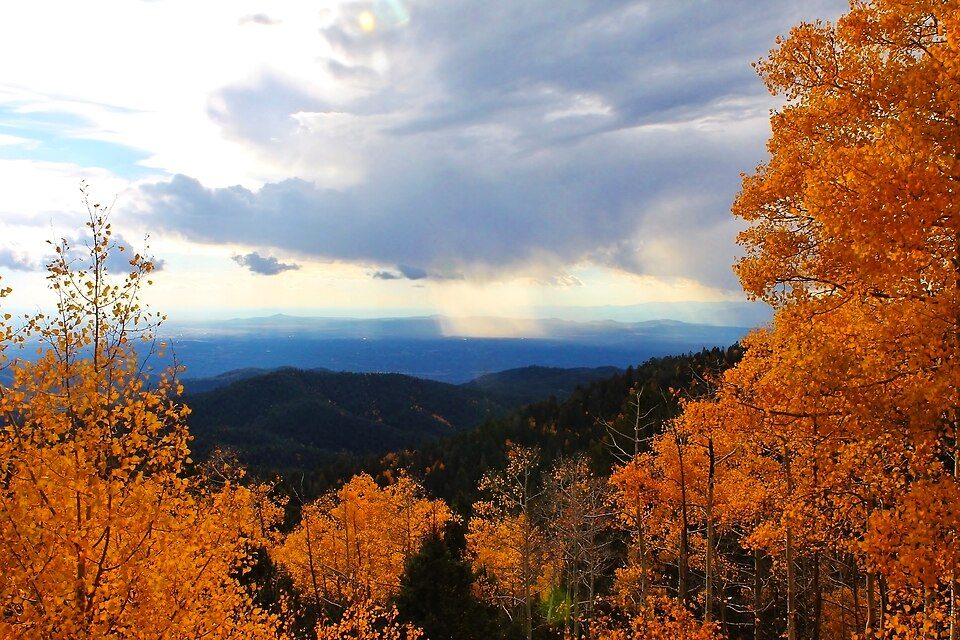 14 mi Ski areaSki Santa Fe, Santa Fe, Q3855588 runs · 1,753 ft vertical
 26 mi National Historical ParkPecos National Historical Park37K visitors a year
Bandelier National Monument: Andrew Dunn (talk · contribs), CC BY-SA 2.0 · Valles Caldera National Preserve: Jesse Allen and Robert Simmon, Public domain · Georgia O'Keeffe Museum: John Phelan, CC BY 3.0 · Santa Fe Plaza: See above, CC BY 2.0 · Ski Santa Fe, Santa Fe, Q38555: Ybratcher, CC BY-SA 4.0 · Pecos National Historical Park: Mosamiazaz at English Wikipedia, Public domain
Pojoaque is unincorporated, so Santa Fe County and regional agencies provide most services.
EPA SDWIS (Oct 9, 2026) · HIFLD + EIA-861 2025 · Census 2020 ZCTAs · NCES 2024–25 · registration: vote.gov, updated Aug 27, 2026.
Ordered by what stands out in Pojoaque.
Just over three quarters of Pojoaque’s expected losses from natural hazards come from inland flooding, followed by wildfires at 14%. FEMA expects more storm and flood damage in the town than in just over four fifths of U.S. communities. Since 2012, 2 flood insurance claims have been paid out here.
FEMA flood insurance claims · FEMA National Risk Index · OpenFEMA
The public schools here belong to the Pojoaque school district. One of its 2 schools is below, with the reason it’s listed. 2 public schools serve Pojoaque, with 342 students in all.
| School | Level | Students | Letter |
|---|---|---|---|
| Pojoaque MiddleLargest public middle schoolGrades 7–8 | Grades 7–8 | 263 | – |
NCES · EDFacts · graded within NM on state tests and graduation
Half commute less than 16 miles. Jobs in Pojoaque fell by 1,638 from 2013 to 2023, to 373. Just 7% of the town’s working residents have a job in town. Also worth knowing: the share of residents in Pojoaque who live below the poverty line: 11%.
| Pojoaque | New Mexico towns | U.S. towns | |
|---|---|---|---|
| Below the poverty line | 11% | 21% | 9.6% |
| Average trip to work | 22 minutes | 23 minutes | 25 minutes |
| Working residents who work in town | 6.8% | 14% | 8% |
| Median household income | $74,000 | $55,000 | $80,000 |
Census LEHD 2023 · ACS
NOAA U.S. Climate Normals, 1991–2020
Nearly a quarter of adults say their health is fair or poor in Pojoaque. Only 6 of the 74 New Mexico towns we compare have a lower share of adults who have high blood pressure than Pojoaque.
| Pojoaque | New Mexico towns | U.S. towns | |
|---|---|---|---|
| Yearly checkup (CDC PLACES) | 68% | 69% | 79% |
| Obesity (CDC PLACES) | 27% | 35% | 35% |
| High blood pressure (CDC PLACES) | 29% | 35% | 35% |
| Smoke cigarettes (CDC PLACES) | 11% | 14% | 14% |
| What stands out | Pojoaque | NM |
|---|---|---|
| Fewer adults with COPD | 5.1% | 6.6% |
| Fewer adults with obesity | 27.4% | 34.1% |
CDC PLACES 2025 · modeled estimates for adults · CMS · HRSA
The bachelor’s-degree share among adults 25 and older is 28%, against 31% across New Mexico. Age groups here sit within 4 points of the New Mexico average. 15% of Pojoaque residents are 65 or older.
| Pojoaque | New Mexico towns | U.S. towns | |
|---|---|---|---|
| Aged 65 or older | 15% | 17% | 18% |
| Under 18 | 21% | 23% | 22% |
| Median age | 38.5 years | 37.2 years | 40.5 years |
| Bachelor’s degree or more, 25+ | 28% | 23% | 29% |
51% women, 49% men
That’s an even split within the survey’s margin of ±3.7 points. Across New Mexico, 50.3% of residents are women. Among residents 65 to 74, 63% are men (NM 47%).
| Pojoaque | NM | U.S. | |
|---|---|---|---|
| Under 10 | 11.6% | 11% | 11.6% |
| 10 to 17 | 9.7% | 10.7% | 10.3% |
| 18 to 24 | 15.1% | 9.3% | 9.1% |
| 25 to 34 | 10.2% | 13.2% | 13.7% |
| 35 to 44 | 9.8% | 12.8% | 13.2% |
| 45 to 54 | 12.4% | 11.2% | 12.2% |
| 55 to 64 | 15.7% | 12.5% | 12.7% |
| 65 to 74 | 8.7% | 11.5% | 10.2% |
| 75 and older | 6.7% | 7.8% | 7% |
| No diploma | 10.5% | 12% | 10.4% |
| High school | 29.1% | 25.7% | 26% |
| Some college | 25.2% | 22.2% | 19.1% |
| Associate’s | 7.4% | 9.2% | 8.8% |
| Bachelor’s | 18.2% | 17.1% | 21.6% |
| Graduate | 9.6% | 13.9% | 14.1% |
U.S. Census Bureau · ACS 2020-2024 5-year estimates · in a town of 2,300, single groups can be off by several points
Count the trails in 1 park or preserve and they come to 9.0 miles.
| Biggest places to walk | Trails | Acres |
|---|---|---|
| 1. La Mesita Ranch Estate | — | 57 |
Trails & parks © OpenStreetMap contributors · Conserved land: USGS PAD-US
1 within 15 miles of the center of Pojoaque
About 6 of every 100 Pojoaque residents are enrolled in college, about the same as New Mexico.
Native American tribe and settlement in New Mexico
The Pueblo of Pojoaque (Tewa: Pʼohsu̧wä̧geh Ówîngeh, pronounced [pʼòhsũ̀wæ̃̀ɡè ʔówîŋɡè], lit. 'water-drinking place village') is an Indian reservation in Santa Fe County, New Mexico, United States. It is part of the Santa Fe, New Mexico, Metropolitan Statistical Area. The area includes the old town of the Pueblo of Pojoaque and the new town. As of the 2020 census, the town of Pojoaque had a population of 2,071. For statistical purposes, the United States Census Bureau has defined the Pueblo of Pojoaque as a census-designated place (CDP). The new town of Pojoaque is collection of communities near the pueblo with people from various ethnic backgrounds. The area of Pojoaque includes the neighb…
From Wikipedia, licensed CC BY-SA 4.0 · facts via Wikidata (CC0)
2 towns share a border with Pojoaque.
Pojoaque and Nambe have fewer than 2,500 residents, so they get subject grades but no overall grade. Pojoaque and Nambe report no FBI crime data of their own. Jacona isn’t graded (fewer than 1,000 residents, or not enough data). Compare Pojoaque with a neighbor →
Short answers, built from the data on this page.
Not for the area. Cost of living, which also weighs rents, property taxes and how many households pay 30% or more of their income for housing, grades A.


