Guest, Sign inJoin

Post to Chaparral

We’ll email a one-tap link to publish your post. No password, and nothing is public until you click it.
Already a member? Sign in
Chaparral
New Mexico›Doña Ana County

ChaparralNM

A town of 18,186.

1 bordering townMap →
Chope's Town Cafe and Bar · Photo: Treecholla · CC BY-SA 4.0
Photo of Chaparral

Chaparral, NM · Chope's Town Cafe and Bar · Photo: Treecholla · CC BY-SA 4.0

Is Chaparral a good place to live?

Chaparral gives you more for your money than most places: homes are within reach, about $217K for a typical one, or 3.8 years of the Las Cruces metro’s $57K median household income. It grades C− overall, ranked 35th of 72 in New Mexico. The low prices come with trade-offs. FEMA rates its natural-hazard risk higher than 51% of U.S. communities, with inland flooding at the top, and residents are less healthy than 88% of U.S. towns on CDC estimates. 51% of the land in Chaparral is conserved, against 3.8% in New Mexico’s towns and 4.3% across U.S. towns. Most errands need a car: it is less walkable than 90% of U.S. towns. The biggest place to walk is Organ Mountains-Desert Peaks National Monument, 3,997 acres with 2.4 miles of trail.

What makes Chaparral stand out

Where Chaparral beats most towns.

A growing town

Chaparral has grown 13% from 2010 to 2020

14,631 counted in 2010 and 16,551 in 2020.

14,6312010
16,5512020

U.S. Census 2010 & 2020 counts

How Chaparral grades

Each subject compared with towns across the country (schools within New Mexico), ordered by how far Chaparral is from typical.

How grading works
Character Graded, but not part of the overall grade.
Described, not graded Taste, not quality: snow or an older crowd is neither good nor bad.

How TownRatings grades towns →

Chope's Town Cafe and Bar
Chope's Town Cafe and Bar · National Register of Historic Places
Chaparral’s story

Chaparral in pictures

The archive holds 1 old photo or paper going back to 2004 and 2 maps from 1940 on.

1 place on the National Register of Historic Places.

Explore the history →
Getting set up

Moving to Chaparral: who provides what

Chaparral is unincorporated, so Doña Ana County and regional agencies provide most services.

PowerEl Paso Electric10.3¢/kWh · EIA 2025HIFLD · EIA
WaterLake Section Water Company1 health-based violation in 5 years · EPAEPA
Internet6 providers91% of addresses get 100/20 MbpsFCC
Trash & county servicesDoña Ana CountyDoña Ana County provides services here
SchoolsGadsden Independent SchoolsWhich school depends on your addressNCES
Register to voteOnlineIn New Mexico you can register online until 28 days before Election Day, in person up to and including Election Day, or by mail (postmarked 28 days before).vote.gov
Who runs elections hereOtero County ClerkOtero County; contacts on the Handbook page.FVAP, Mar 2020
ZIP code8808188081 100%Census 2020

EPA SDWIS (Oct 9, 2026) · HIFLD + EIA-861 2025 · Census 2020 ZCTAs · NCES 2024–25 · registration: vote.gov, updated Aug 27, 2026.

The data

Ordered by what stands out in Chaparral.

Chaparral has a longer frost-free season than almost anywhere else in New Mexico, sends many workers across the state line and keeps more of its land conserved than most of New Mexico.

OutdoorsC+

Nearly a third of Chaparral is conserved land

Its 19,214 conserved acres are a larger share of the town than in 99% of New Mexico towns.

15 miles of trail in 2 parks and preserves. At 0.3 miles per square mile, Chaparral’s trail density is where New Mexico’s towns sit at 1.0 and U.S. towns at 0.4.

#61for trails in NM
51%
conserved · 19,214 of 37,650 acres
15 mi
of trails · 0.3 per sq mi
Biggest places to walkTrailsAcres
1. Organ Mountains-Desert Peaks National Monument2.4 mi3,997
2. Delores C Wright Memorial Park—17

Trails & parks © OpenStreetMap contributors · Conserved land: USGS PAD-US

SchoolsB

Public schools in Chaparral beat 60% of New Mexico districts

Its public schools are run by the Gadsden school district. Two of its 7 schools are below, each with why it’s listed. The largest public high school is Chaparral High, with 1,067 students.

60%of NM districts it outscoresBSchool Grade
SchoolLevelStudentsLetter
Chaparral MiddleLargest public middle schoolGrades 7–8Grades 7–8546–
Chaparral HighLargest public high schoolGrades 9–12Grades 9–121,067C−

NCES · EDFacts · graded within NM on state tests and graduation

HealthD

Chaparral stands out in New Mexico and nationally: a larger share of its adults 18 to 64 have no health insurance

Against the 4,356 U.S. towns with household incomes like Chaparral’s, it is less healthy than 62%, so its D isn’t only a matter of income.

29% of Chaparral adults 18 to 64 have no health insurance. Chaparral beats the New Mexico average on 2 of 32 CDC measures and trails it on 16. 67% of Chaparral adults had a checkup this year.

12%healthier than U.S. townsDHealth Grade
ChaparralNew Mexico townsU.S. towns
Fair or poor health (CDC PLACES)34%25%19%
Food insecurity (CDC PLACES)37%23%14%
No health insurance, 18–64 (CDC PLACES)29%16%8.1%
Yearly checkup (CDC PLACES)67%69%79%
32 measures vs. New Mexico
2 better14 too close to call16 worse
What stands outChaparralNM
Fewer adults who have had cancer4.7%7.4%
Fewer adults with arthritis22.8%25.6%
More uninsured adults29.3%15.6%
The Hospitals of Providence Transmountain Campus
13.2 mi away · emergency room
3 of 3
care shortages: primary care, dental, mental health
14th
percentile among NM towns

CDC PLACES 2025 · modeled estimates for adults · CMS · HRSA

Work & commuteJobs & income grade D

About one in three of Chaparral’s working residents commute to El Paso

53% of working residents cross a state line to work. Chaparral has 1,017 jobs for its 4,565 working residents: even if every job went to a resident, most would still commute out.

Most working residents leave Chaparral for work: only 7% work in town. 27% of residents live below the poverty line in Chaparral. Since 2013, Chaparral has added 473 jobs, to 1,017 in 2023.

7%work in town
ChaparralNew Mexico townsU.S. towns
Below the poverty line27%20%9.6%
Average trip to work30 minutes23 minutes25 minutes
Work from home4.5%8.4%11%
Median household income$46,000$55,000$80,000

Where working residents work

In Chaparral7%
El Paso37%
Las Cruces10%
Anthony9%
Albuquerque6%
14 mi
median commute distance
1,017
jobs based in Chaparral
A commuter town
jobs vs. working residents
D
Walkability grade: more walkable than 10% of U.S. towns

Census LEHD 2023 · ACS

HousingCost of living grade A−

Chaparral’s grade for cost of living is an A−

The median property tax bill is $588, against $1,731 across New Mexico, another input to its cost-of-living grade.

The typical Chaparral home is worth about $217,000, down 1.7% in a year, 31% below the New Mexico typical home. The median rent in Chaparral is $853 a month.

$217KZillow home value
ChaparralNew Mexico townsU.S. towns
Renters paying 30%+ of income on rent41%48%48%
Median rent$853 a month$944 a month$1,185 a month
Households that own their home69%70%73%

Typical home value

Chaparral$217K
New Mexico$316K
−1.7%
value change, 1 year
4
homes sold in April

Census ACS, 2020–24 · Zillow Home Value Index · Redfin Data Center

Climate

Chaparral has mild winters and hot summers

The La Tuna 1 S weather station, 12 miles away, records that the frost-free season runs about 264 days, the highest of 518 New Mexico places with climate records. The La Tuna 1 S weather station, 12 miles away, records that about 114 days a year reach 90°, more than in 97% of U.S. towns.

Chaparral has mild winters and hot summers, with very little rain. Chaparral’s July high is 95°F.

96°summer high

Typical low → high °F

Winter32–59°
Spring49–79°
Summer68–95°
Fall50–78°
Nov 20
typical first frost
Feb 28
typical last frost
+2.0°
vs. the 20th-century average
96°
typical summer high

NOAA U.S. Climate Normals, 1991–2020

51risk score of 100
FEMA risk score
51Moderate riskLowerHigher
Inland floodingHeat wavesCold waves
1
federal disasters paid out here

FEMA National Risk Index · OpenFEMA

Nearby attractions

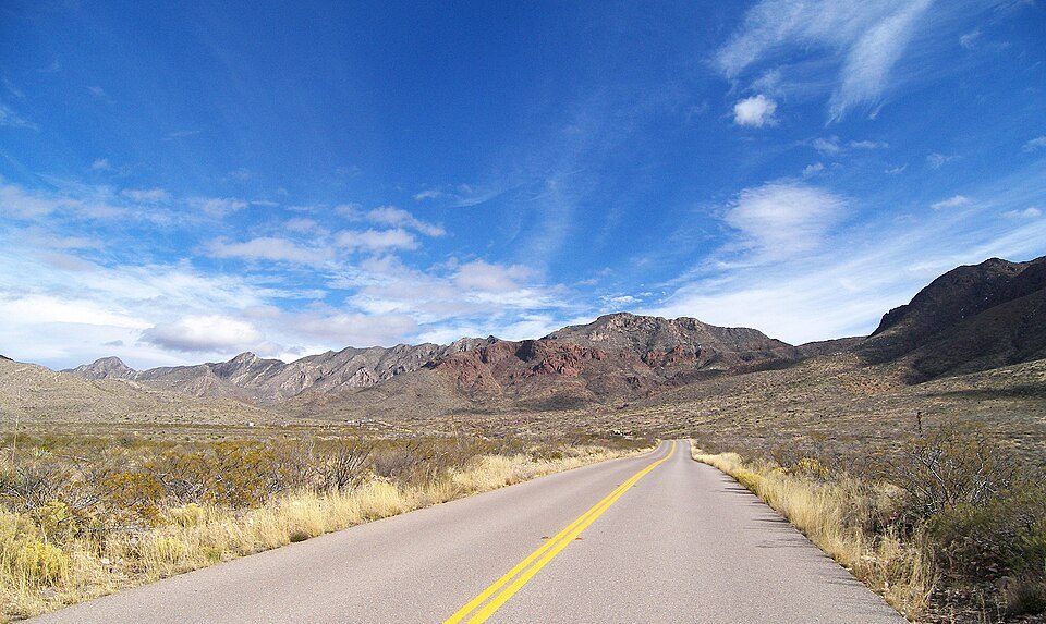
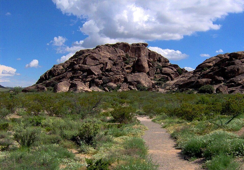
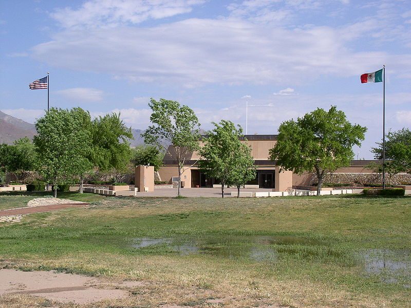
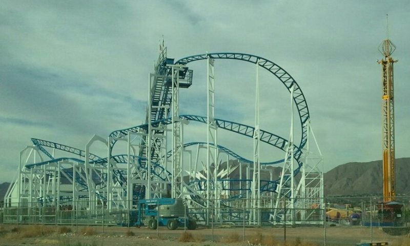
Sun Bowl Stadium and 14 more within 40 miles

Museums, parks, gardens and other places to visit around Chaparral. Close and well known come first.

All 16 attractions →
Sources: National Park Service · ski areas © OpenSkiMap / OpenStreetMap contributors · Wikidata · Wikipedia readership · photos via Wikimedia Commons
Photo credits

Sun Bowl Stadium: Quintin Soloviev, CC BY 4.0 · Franklin Mountains State Park: Larry D. Moore, CC BY 4.0 · Hueco Tanks: Brian Stansberry, CC BY 3.0 · Chamizal National Memorial: Original uploader was Mosamiazaz at en.wikipedia, Public domain · Western Playland: Dimples915, CC BY-SA 3.0 · Plaza Theatre: Donitza Marie, CC BY-SA 3.0

Keep exploring

Everything we know about Chaparral

18pages on Chaparral
After high school

Colleges nearby

1 within 15 miles of the center of Chaparral

About 7 of every 100 Chaparral residents are enrolled in college, about the same as New Mexico.

Prices by family income, graduation and earnings →

A commuter town

93% of working residents leave Chaparral for work

Where Chaparral’s working residents go each day. Line width shows the share.

37% → El Paso El Paso 37% 10% → Las Cruces Las Cruces 10% 9% → Anthony Anthony 9% 6% → Albuquerque Albuquerque 6% 1% → Sunland Park Sunland Park 1% 1% → Alamogordo Alamogordo 1% Chaparral · 7% stay
1,017jobs based in Chaparral
7%of working residents work in town
14 mimedian commute distance

Census LEHD 2023

About Chaparral

Census-designated place in New Mexico, United States

Chaparral is an unincorporated community and census-designated place (CDP) in Doña Ana and Otero counties, New Mexico. The population was 16,551 at the 2020 census. Chaparral is primarily a bedroom community for the neighboring city of El Paso, Texas, and the neighboring military installations of White Sands Missile Range and Fort Bliss. It is officially part of the Las Cruces Metropolitan Statistical Area.

From Wikipedia, licensed CC BY-SA 4.0 · facts via Wikidata (CC0)

Area
59 sq mi
Elevation
4,042 ft
ZIP code
88081

Chaparral’s neighbors

One town shares a border with Chaparral.

Explore the map →

Questions about Chaparral

Short answers, built from the data on this page.

Is Chaparral, NM a good place to live?

Chaparral grades C− overall, better than 19% of U.S. towns and #35 of 72 in New Mexico. It grades D for health and B for schools. Walkability is its weak spot, with a D.

Is Chaparral, NM expensive?

Not for the area. Cost of living, which also weighs rents, property taxes and how many households pay 30% or more of their income for housing, grades A−.