Guest, Sign inJoin

Post to Chamita

We’ll email a one-tap link to publish your post. No password, and nothing is public until you click it.
Already a member? Sign in
Chamita
New Mexico›Rio Arriba County

ChamitaNM

A town of 867.

3 bordering townsMap →
Rio Grande Bridge at San Juan Pueblo · Photo: UltraSparky · CC BY-SA 4.0
Photo of Chamita

Chamita, NM · Rio Grande Bridge at San Juan Pueblo · Photo: UltraSparky · CC BY-SA 4.0

Is Chamita a good place to live?

Chamita has fewer than 1,000 residents, too few for fair grades; the figures below are still real.

Small town

867 people, and everyone knows the way

In a town this size, neighbors are the best guide. Ask them anything.

Nearby towns
PueblitoEl DuendeHernandezPueblitoEl DuendeHernandezChamita
Rio Grande Bridge at San Juan Pueblo
Rio Grande Bridge at San Juan Pueblo · National Register of Historic Places
Chamita’s story

Chamita in pictures

The archive holds 3 old photos and papers going back to 2009.

1 place on the National Register of Historic Places.

Explore the history →
Getting set up

Moving to Chamita: who provides what

Chamita is unincorporated, so Rio Arriba County and regional agencies provide most services.

PowerJemez Mountains Elec Coop15.8¢/kWh · EIA 2025HIFLD · EIA
WaterChamita Mdwca water system1 health-based violation in 5 years · EPAEPA
Internet5 providers100% of addresses get 100/20 MbpsFCC
Trash & county servicesRio Arriba CountyRio Arriba County provides services here
SchoolsEspañola Municipal SchoolsWhich school depends on your addressNCES
Register to voteOnlineIn New Mexico you can register online until 28 days before Election Day, in person up to and including Election Day, or by mail (postmarked 28 days before).vote.gov
Who runs elections hereRio Arriba County ClerkRio Arriba County; contacts on the Handbook page.FVAP, Mar 2023
ZIP code8756687566 100%Census 2020

EPA SDWIS (Oct 9, 2026) · HIFLD + EIA-861 2025 · Census 2020 ZCTAs · NCES 2024–25 · registration: vote.gov, updated Aug 27, 2026.

The data

Ordered by what stands out in Chamita.

Natural hazards

The biggest natural risk in Chamita is inland flooding, at a very high overall level

For Chamita, the FEMA risk score is 89 of 100. Of the losses FEMA expects in the town, 73% come from inland flooding and 11% from wildfires.

89risk score of 100
FEMA risk score
89Very high riskLowerHigher
Inland floodingWildfireLightning

FEMA National Risk Index · OpenFEMA

Work & commute

Chamita has 0.0 jobs per working resident, so most workers leave town for work

Among residents in Chamita, 20% live below the poverty line. 16% of workers do their job from home in the town, above both New Mexico’s towns (8.4%) and U.S. towns (11%). The top destinations are Los Alamos (24%), Española (15%) and Albuquerque (13%). The median commute is under 17 miles.

0%work in town
ChamitaNew Mexico townsU.S. towns
Work from home16%8.4%11%
Below the poverty line20%21%9.6%
Median household income$68,000$55,000$80,000

Where working residents work

In Chamita0%
Los Alamos24%
Española15%
Albuquerque13%
Santa Fe10%
17 mi
median commute distance
3
jobs based in Chamita
A commuter town
jobs vs. working residents

Census LEHD 2023 · ACS

Climate

The climate in Chamita brings four seasons and hot summers

Chamita’s typical July afternoon high is 90°F, below the New Mexico town median (93°F) but above the median of U.S. towns (85°F).

11″snow a winter

Typical low → high °F

Winter19–48°
Spring34–69°
Summer55–88°
Fall36–69°
Oct 6
typical first frost
May 11
typical last frost
+1.4°
vs. the 20th-century average

NOAA U.S. Climate Normals, 1991–2020

Health

Fewer of Chamita’s adults have been diagnosed with depression than in the typical New Mexico or U.S. town

The share of adults in Chamita who worry about having enough food: 28%. Among 74 New Mexico towns, just 4 have a higher share of adults who have obesity than Chamita. Of 32 CDC measures, Chamita beats the New Mexico average on 2 and trails it on 9.

ChamitaNew Mexico townsU.S. towns
No health insurance, 18–64 (CDC PLACES)22%16%8.1%
Diabetes (CDC PLACES)18%14%12%
Fair or poor health (CDC PLACES)30%26%19%
Food insecurity (CDC PLACES)28%23%14%
32 measures vs. New Mexico
2 better21 too close to call9 worse
What stands outChamitaNM
Fewer adults who have had cancer6.1%7.4%
Fewer adults with depression19.2%23.2%
More uninsured adults21.8%15.6%
Presbyterian Espanola Hospital
5 mi away · emergency room
3 of 3
care shortages: primary care, dental, mental health

CDC PLACES 2025 · modeled estimates for adults · CMS · HRSA

Nearby attractions

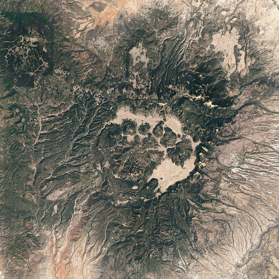
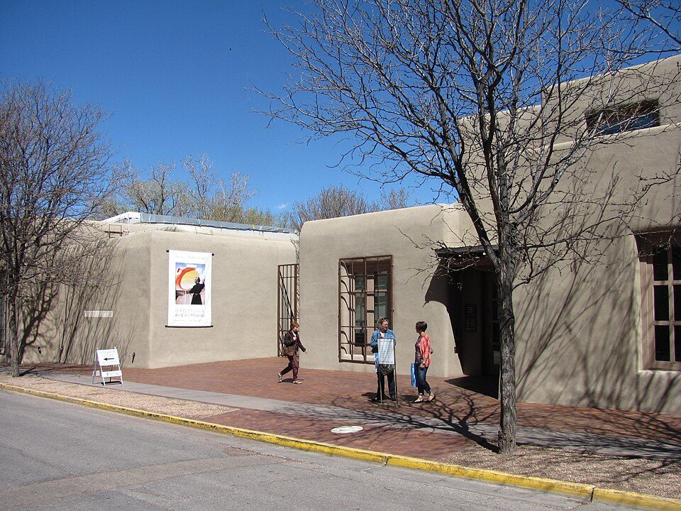
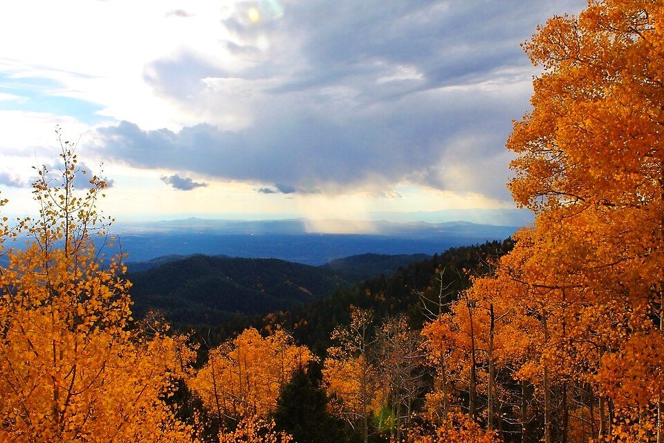
Bandelier National Monument and 25 more within 40 miles

Museums, parks, gardens and other places to visit around Chamita. Close and well known come first.

All 30 attractions →
Sources: National Park Service · ski areas © OpenSkiMap / OpenStreetMap contributors · Wikidata · Wikipedia readership · photos via Wikimedia Commons
Photo credits

Bandelier National Monument: Andrew Dunn (talk · contribs), CC BY-SA 2.0 · Valles Caldera National Preserve: Jesse Allen and Robert Simmon, Public domain · Georgia O'Keeffe Museum: John Phelan, CC BY 3.0 · Manhattan Project National Historical Park: Unknown, Public domain · Pecos National Historical Park: Mosamiazaz at English Wikipedia, Public domain · Ski Santa Fe, Santa Fe, Q38555: Ybratcher, CC BY-SA 4.0

Keep exploring

Everything we know about Chamita

16pages on Chamita
After high school

Colleges nearby

1 within 15 miles of the center of Chamita

A commuter town

100% of working residents leave Chamita for work

Where Chamita’s working residents go each day. Line width shows the share.

24% → Los Alamos Los Alamos 24% 15% → Española Española 15% 13% → Albuquerque Albuquerque 13% 10% → Santa Fe Santa Fe 10% 5% → Ohkay Owingeh Ohkay Owingeh 5% 2% → Farmington Farmington 2% Chamita · 0% stay
3jobs based in Chamita
0%of working residents work in town
17 mimedian commute distance

Census LEHD 2023

About Chamita

Census-designated place in New Mexico, United States

Chamita is a census-designated place in Rio Arriba County, New Mexico, United States. As of the 2020 census, Chamita had a population of 1,005. New Mexico State Road 74 passes through the community. During its earlier years, the community was known as San Pedro De Chamita and served as the first county seat for Rio Arriba county.

From Wikipedia, licensed CC BY-SA 4.0 · facts via Wikidata (CC0)

Area
3.9 sq mi
Elevation
5,725 ft

Questions about Chamita

Short answers, built from the data on this page.

Is Chamita, NM a good place to live?

Chamita has fewer than 1,000 residents, too few for fair grades; the figures below are still real.