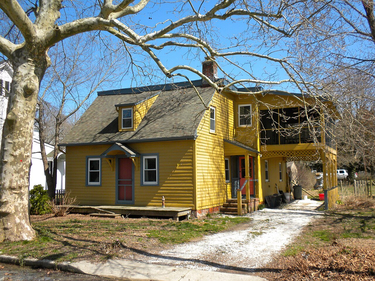
152 years in pictures
Census counts: 2,265 in 1880, 4,669 in 2020. The archive holds 18 old photos and papers going back to 1850 and 5 maps from 1890 on.
4 places on the National Register of Historic Places.
- 1874Commercial Township is settled
Each edition grades its towns against each other only.

Commercial Township grades D− overall, in the bottom 2% of U.S. towns, mostly because of schools and health. Its public schools trail 97% of New Jersey towns on state tests and graduation. Residents are less healthy than 86% of U.S. towns on CDC estimates. In its favor, it has 7 miles of trail and 47% conserved land. 47% of the land in Commercial Township is conserved, above both the New Jersey town median (11%) and the median of U.S. towns (4.3%). Only 6 of New Jersey’s 530 towns score lower on incomes. The biggest place to walk is Millville Wildlife Management Area, 6,229 acres with 1.2 miles of trail.
Where Commercial Township beats most towns, and one thing worth knowing.
Coastal flooding makes up 46% of the storm damage FEMA expects here.
FEMA National Risk Index · OpenFEMA · OpenStreetMap
Each subject compared with towns across the country (schools within New Jersey), ordered by how far Commercial Township is from typical.
How TownRatings grades towns →
Census counts: 2,265 in 1880, 4,669 in 2020. The archive holds 18 old photos and papers going back to 1850 and 5 maps from 1890 on.
4 places on the National Register of Historic Places.
Who provides power, water and the rest in Commercial Township, and how to reach them.
EPA SDWIS (Oct 9, 2026) · HIFLD + EIA-861 2025 · Census 2020 ZCTAs · NCES 2024–25 · registration: vote.gov, updated Nov 18, 2024.
Ordered by what stands out in Commercial Township.
Commercial Township keeps more of its land conserved than most of New Jersey and sends most of its workers to Vineland and beyond, but it has poverty well above the New Jersey rate.
Its 10,344 conserved acres are a larger share of the town than in 97% of New Jersey towns.
7.0 miles of trail in 5 parks and preserves. At 0.2 miles per square mile, Commercial Township’s trail density is below both New Jersey’s towns (0.7) and U.S. towns (0.4).
| Biggest places to walk | Trails | Acres |
|---|---|---|
| 1. Commercial Township Wetland Restoration Site | 1.7 mi | 3,938 |
| 2. Millville Wildlife Management Area | 1.2 mi | 6,229 |
| 3. Egg Island Wildlife Management Area | 0.8 mi | 1,983 |
Trails & parks © OpenStreetMap contributors · Conserved land: USGS PAD-US
Its public schools are run by the Commercial Township School District. Its one school is below.
| School | Level | Students | Letter |
|---|---|---|---|
| Commercial Township SchoolLargest public elementary schoolGrades PK–8 | Grades PK–8 | 505 | D |
NCES · EDFacts · graded within NJ on state tests
17% of adults report frequent physical distress in Commercial Township. Commercial Township beats the New Jersey average on 0 of 32 CDC measures and trails it on 22. 24% of adults say their health is fair or poor in Commercial Township.
| Commercial Township | New Jersey towns | U.S. towns | |
|---|---|---|---|
| Frequent physical distress (CDC PLACES) | 17% | 12% | 14% |
| High blood pressure (CDC PLACES) | 43% | 32% | 35% |
| Smoke cigarettes (CDC PLACES) | 19% | 11% | 14% |
| Sleep under 7 hours (CDC PLACES) | 43% | 36% | 36% |
| What stands out | Commercial Township | NJ |
|---|---|---|
| More adults with COPD | 9.4% | 5.1% |
| More older adults who have lost all their teeth | 16.7% | 9.6% |
| More smokers | 18.5% | 10.9% |
CDC PLACES 2025 · modeled estimates for adults · CMS · HRSA
Expected storm and flood damage is higher than in 80% of U.S. communities. Since 1979, 24 flood insurance claims have been paid out in Commercial Township.
FEMA flood insurance claims · FEMA National Risk Index · OpenFEMA
Commercial Township has 373 jobs for its 1,764 working residents: even if every job went to a resident, most would still commute out.
Commercial Township’s median household income is $56,000. Most working residents leave Commercial Township for work: only 5% work in town. 20% of Commercial Township residents live below the poverty line.
| Commercial Township | New Jersey towns | U.S. towns | |
|---|---|---|---|
| Below the poverty line | 20% | 6% | 9.6% |
| Median household income | $56,000 | $113,000 | $80,000 |
| Average trip to work | 30 minutes | 30 minutes | 25 minutes |
| Working residents who work in town | 5.3% | 6.3% | 8% |
Census LEHD 2023 · ACS
Commercial Township has chilly winters and warm summers. July afternoons reach 86°, January nights drop to 26° and about 12 inches of snow falls in a winter.
NOAA U.S. Climate Normals, 1991–2020
Museums, parks, gardens and other places to visit around Commercial Township. Close and well known come first.
Big draw37 mi Park & preservePine Barrens
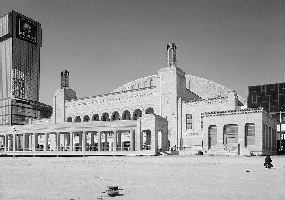
33 mi Stadium & arenaBoardwalk Hall
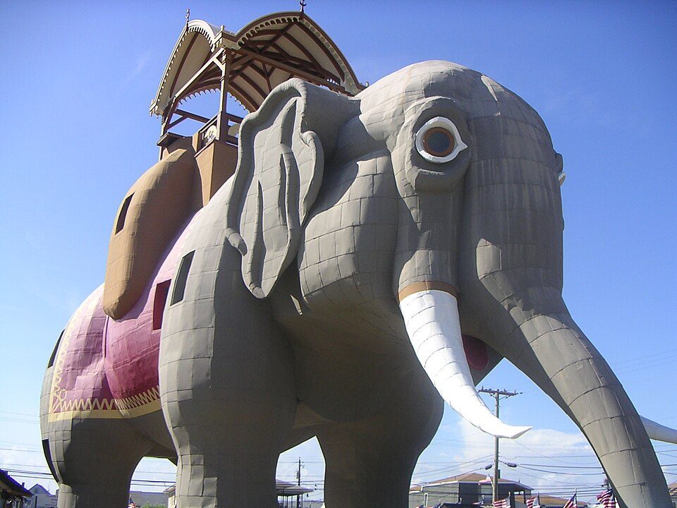
29 mi LandmarkLucy the Elephant
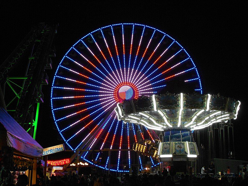
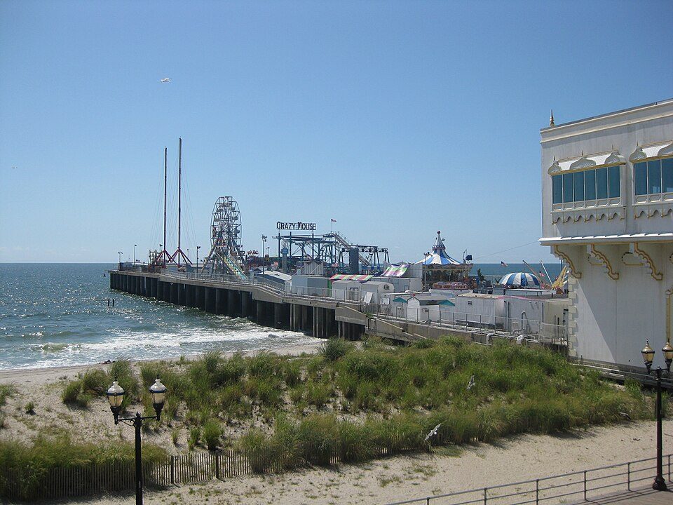
23 mi Theme parkMorey's Piers37 mi Theme parkClementon Amusement Park
34 mi Theme parkSteel PierPine Barrens: Famartin, CC BY-SA 4.0 · Boardwalk Hall: Jack Boucher, Public domain · Lucy the Elephant: User:dtcdthingy 3:30 pm 30th July 2004 (Minolta Dimage X20), Public domain · Morey's Piers: Smallbones, CC0 · Steel Pier: Make Lemons, CC BY-SA 2.0
1 within 15 miles of the center of Commercial Township
About 4 of every 100 Commercial Township residents are enrolled in college, against 6 across New Jersey.
47.2% of the town is conserved land, across 5 parks and preserves.
4 places in Commercial Township on the National Register of Historic Places.
Township in Cumberland County, New Jersey, US
Commercial Township is a township in Cumberland County, in the U.S. state of New Jersey. It is part of the Vineland-Bridgeton metropolitan statistical area. As of the 2020 United States census, the township's population was 4,669, a decrease of 509 (−9.8%) from the 2010 census count of 5,178, which in turn reflected a decline of 81 (−1.5%) from the 5,259 counted in the 2000 census. Commercial Township was incorporated as a township by an act of the New Jersey Legislature on February 27, 1874, from portions of Downe Township. The township was named for its shellfish industry.
From Wikipedia, licensed CC BY-SA 4.0 · facts via Wikidata (CC0)
9 towns share a border with Commercial Township.
| Town | NJ rank | Overall | Cost | Safety | Schools | Health |
|---|---|---|---|---|---|---|
| Commercial Township | #466 | D− | C− | — | D− | D |
| Downe Township | — | — | C− | — | D− | C |
| Maurice River Township | #462 | D− | C− | — | D | C+ |
| Port Norris | — | — | — | — | — | — |
| Millville | #454 | D− | D | D | D | C− |
| Leesburg | — | — | — | — | — | — |
| Laurel Lake | — | — | — | — | — | — |
| Port Elizabeth | — | — | — | — | — | — |
Downe Township has fewer than 2,500 residents, so it gets subject grades but no overall grade. Commercial Township, Downe Township and Maurice River Township report no FBI crime data of their own. Port Norris, Leesburg, Laurel Lake and Port Elizabeth aren’t graded (fewer than 1,000 residents, or not enough data). Compare Commercial Township with a neighbor →
Short answers, built from the data on this page.
Commercial Township grades D− overall, in the bottom 2% of U.S. towns. It grades D for health and D− for schools. Schools is its weak spot, with a D−.
Yes. Cost of living, which also weighs rents, property taxes and how many households pay 30% or more of their income for housing, grades C−.