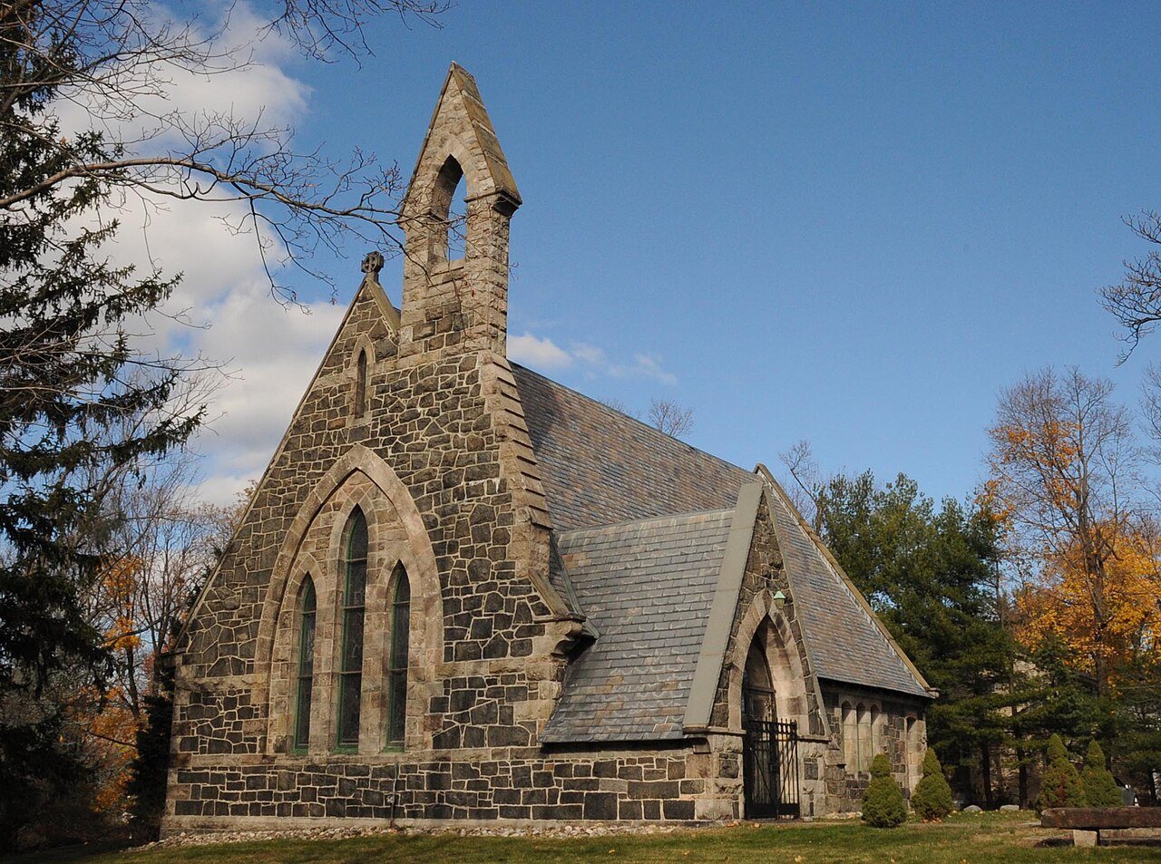
Upper Closter-Alpine Historic District
Many listed buildings are private homes. Please enjoy them from the street.
About the district
Upper Closter-Alpine Historic District, at Roughly bounded by Forest St., Old Dock Rd., School House Ln., Church St. and Closter Dock Rd., was added to the National Register of Historic Places on May 8, 1985. The Register lists it for its commerce, transportation and architecture, at the local level. The district takes in 25 historic buildings. The listing covers 16.1 acres. Two more Register listings are within a quarter mile.
What it isHistoric district in New Jersey, United States. From Wikidata (CC0). Read about it on Wikipedia ↗
Make it a walk: 3 landmarks in about 10 minutes
Roughly bounded by Forest St., Old Dock Rd., School House Ln., Church St. and Closter Dock Rd., Alpine · about 0.4 miles on foot, as the crow flies
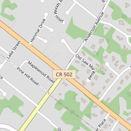




- 1Upper Closter-Alpine Historic DistrictStart here
- 2
 Wittmer, William A., Lustron HouseBuilt 1949 · 0.2 mi on
- 3
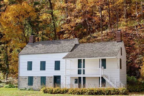 Blackledge-KearneyBuilt 1750 · 0.2 mi on
29 more Register listings within 2 miles
★ National Historic Landmark · D district · B building · S site. Each opens its own page.
Show the other 11
Memories of Upper Closter-Alpine Historic District
The record says what it is. Neighbors know what it means.
Your answer becomes a post in Town Square.
Questions about Upper Closter-Alpine Historic District
Is Upper Closter-Alpine Historic District on the National Register of Historic Places?
Yes. It was added on May 8, 1985 (Register number 85001013).
Is Upper Closter-Alpine Historic District a National Historic Landmark?
No. It is on the National Register; New Jersey has 54 National Historic Landmarks. The nearest is Palisades Interstate Park, 1.7 miles away.
Can you visit Upper Closter-Alpine Historic District?
Our record doesn’t say whether it is open to visitors. Many listed buildings are private, so it may only be seen from the street.
Sources: National Park Service, National Register of Historic Places (05/22/2026) · Wikidata. Map tiles © OpenStreetMap contributors.