158 years in pictures
Census counts: 885 in 1870, 1,938 in 2020. The archive holds 24 old photos and papers going back to 1883 and 3 maps from 1925 on.
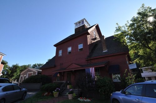
7 places on the National Register of Historic Places.
- 1868Ashland is settled
Each edition grades its towns against each other only.

The best of Ashland’s subject grades are a B+ for history and the outdoors; the weakest is a D for hazard risk. 21% of residents live below the poverty line in Ashland, against 6.8% in New Hampshire’s towns and 9.6% across U.S. towns. On hazard risk, just 4 of New Hampshire’s 187 towns do worse. 27% of the land in Ashland is conserved, above both the New Hampshire town median (18%) and the median of U.S. towns (4.3%). Its National Register listings include Ashland Gristmill and Dam and Ashland Town Hall. Ashland has fewer than 2,500 residents, so it gets subject grades but no overall grade.
Where Ashland beats most towns, and one thing worth knowing.
Census counts: 885 in 1870, 1,938 in 2020. The archive holds 24 old photos and papers going back to 1883 and 3 maps from 1925 on.
7 places on the National Register of Historic Places.
Each subject compared with towns across the country (schools within New Hampshire), ordered by how far Ashland is from typical.
How TownRatings grades towns →
Who provides power, water and the rest in Ashland, and how to reach them.
EPA SDWIS (Oct 9, 2026) · HIFLD + EIA-861 2025 · Census 2020 ZCTAs · NCES 2024–25 · registration: vote.gov, updated Nov 19, 2024.
Ordered by what stands out in Ashland.
Ashland’s FEMA risk score is 87 of 100. Since 2006, 6 flood insurance claims have been paid out in Ashland.
FEMA flood insurance claims · FEMA National Risk Index · OpenFEMA
Its public schools are run by the Ashland School District. Its one school is below.
| School | Level | Students | Letter |
|---|---|---|---|
| Ashland Elementary SchoolLargest public elementary schoolGrades K–8 | Grades K–8 | 159 | B |
NCES · EDFacts · graded within NH on state tests and graduation
16 miles of trail in 9 parks and preserves. The trail density in Ashland is 1.4 miles per square mile. The biggest place to walk is Homestead Forest Conservation Area, 581 acres with 3.7 miles of trail.
| Biggest places to walk | Trails | Acres |
|---|---|---|
| 1. Whitten Woods | 5.5 mi | 492 |
| 2. Homestead Forest Conservation Area | 3.7 mi | 581 |
| 3. Stevens Memorial Forest | — | 173 |
Trails & parks © OpenStreetMap contributors · Conserved land: USGS PAD-US
The typical Ashland home is worth about $361,000, up 1.1% in a year, 29% below the New Hampshire typical home. 64% of Ashland households own their home.
| Ashland | New Hampshire towns | U.S. towns | |
|---|---|---|---|
| Households that own their home | 64% | 82% | 73% |
| Median rent | $1,096 a month | $1,388 a month | $1,185 a month |
Census ACS, 2020–24 · Zillow Home Value Index · Redfin Data Center
FBI crime data, 2025 · crimes reported to police
Ashland has cold, snowy winters and pleasant summers, with plenty of rain. July afternoons reach 81°, January nights drop to 9° and about 68 inches of snow falls in a winter.
NOAA U.S. Climate Normals, 1991–2020
Adults 35 to 64 are 33% of residents (40% statewide); people 65 and older are 26% of residents (20% statewide). 36% of adults 25 and older have a bachelor’s degree or more, vs 41% across New Hampshire.
| Ashland | New Hampshire towns | U.S. towns | |
|---|---|---|---|
| Aged 65 or older | 26% | 20% | 18% |
| Median age | 42.3 years | 44.8 years | 40.5 years |
| Bachelor’s degree or more, 25+ | 36% | 39% | 29% |
48% women, 52% men
That’s an even split within the survey’s margin of ±5.6 points. Across New Hampshire, 50.1% of residents are women. Among residents 45 to 54, 75% are men (NH 50%).
| Ashland | NH | U.S. | |
|---|---|---|---|
| Under 10 | 12.6% | 9.3% | 11.6% |
| 10 to 17 | 8.8% | 8.9% | 10.3% |
| 18 to 24 | 5% | 8.7% | 9.1% |
| 25 to 34 | 15.2% | 12.7% | 13.7% |
| 35 to 44 | 9.7% | 12.4% | 13.2% |
| 45 to 54 | 11.9% | 12.4% | 12.2% |
| 55 to 64 | 11% | 15.5% | 12.7% |
| 65 to 74 | 16.9% | 12.2% | 10.2% |
| 75 and older | 8.8% | 7.9% | 7% |
| No diploma | 6.8% | 5.6% | 10.4% |
| High school | 36.1% | 26.8% | 26% |
| Some college | 16.9% | 17.2% | 19.1% |
| Associate’s | 4.4% | 9.8% | 8.8% |
| Bachelor’s | 22.9% | 24.5% | 21.6% |
| Graduate | 13.1% | 16.1% | 14.1% |
U.S. Census Bureau · ACS 2020-2024 5-year estimates · in a town of 1,900, single groups can be off by several points
Among 127 New Hampshire towns, just 2 have a lower median household income than Ashland. Most working residents leave Ashland for work: only 11% work in town. 9.9% of workers work from home in Ashland.
| Ashland | New Hampshire towns | U.S. towns | |
|---|---|---|---|
| Median household income | $55,000 | $103,000 | $80,000 |
| Work from home | 9.9% | 16% | 11% |
| Average trip to work | 26 minutes | 28 minutes | 25 minutes |
| Working residents who work in town | 11% | 10% | 8% |
Census LEHD 2023 · ACS
Ashland beats the New Hampshire average on 0 of 32 CDC measures and trails it on 16. Only 6 of the 127 New Hampshire towns we compare have a higher share of adults who smoke cigarettes than Ashland.
| Ashland | New Hampshire towns | U.S. towns | |
|---|---|---|---|
| Yearly checkup (CDC PLACES) | 75% | 78% | 79% |
| Binge drink (CDC PLACES) | 14% | 16% | 16% |
| Smoke cigarettes (CDC PLACES) | 15% | 11% | 14% |
| Frequent physical distress (CDC PLACES) | 15% | 12% | 14% |
| What stands out | Ashland | NH |
|---|---|---|
| More older adults who have lost all their teeth | 14.8% | 8.9% |
| More adults with COPD | 9.2% | 6.2% |
| More adults facing food insecurity | 13.6% | 9.5% |
CDC PLACES 2025 · modeled estimates for adults · CMS · HRSA
Museums, parks, gardens and other places to visit around Ashland. Close and well known come first.
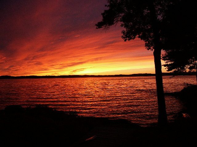
18 mi LakeLake Winnipesaukee
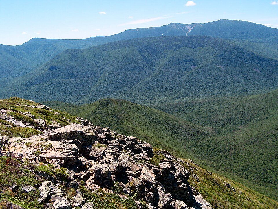
29 mi National forestWhite Mountain National Forest
34 mi Scenic railwayConway Scenic Railroad
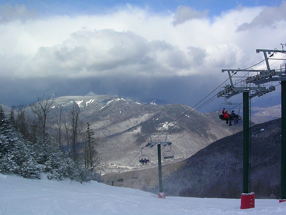
31 mi Ski areaCannon Mountain104 runs · 2,201 ft vertical
17 mi Ski areaWaterville Valley Resort84 runs · 1,990 ft vertical
22 mi Ski areaLoon Mountain Resort80 runs · 2,189 ft verticalLake Winnipesaukee: No machine-readable author provided. JohnJHenderson~commonswiki assumed (based o, Public domain · White Mountain National Forest: Ken Gallager at English Wikipedia, Public domain · Conway Scenic Railroad: Pi.1415926535, CC BY-SA 3.0 · Cannon Mountain: Mikespenard at English Wikipedia, CC BY-SA 3.0 · Waterville Valley Resort: MConradWard, CC BY-SA 4.0 · Loon Mountain Resort: Own work, Public domain
1 within 15 miles of the center of Ashland
About 3 of every 100 Ashland residents are enrolled in college, against 6 across New Hampshire.
7 places in Ashland on the National Register of Historic Places.
3 notable people were born in Ashland.
Town in New Hampshire, United States
Ashland is a town in Grafton County, New Hampshire, United States. The population was 1,938 at the 2020 census, down from 2,076 at the 2010 census. Located near the geographical center of the state, Ashland is home to Scribner-Fellows State Forest. The main village of the town, where 1,082 people lived at the 2020 census, is defined as the Ashland census-designated place (CDP) and is located at the junction of U.S. Route 3 and New Hampshire Route 25 with NH Route 132.
From Wikipedia, licensed CC BY-SA 4.0 · facts via Wikidata (CC0)
4 towns share a border with Ashland.
| Town | NH rank | Overall | Cost | Safety | Schools | Health |
|---|---|---|---|---|---|---|
| Ashland | — | — | C | C | B | B |
| Plymouth | #78 | B | C | B− | B+ | A |
| Bridgewater | — | — | C+ | — | C− | A− |
| Holderness | — | — | D | B− | A− | A |
| New Hampton | — | — | B− | B+ | C− | A− |
Ashland, Bridgewater, Holderness and New Hampton have fewer than 2,500 residents, so they get subject grades but no overall grade. Bridgewater reports no FBI crime data of its own. Compare Ashland with a neighbor →
Short answers, built from the data on this page.
That is 4.3 years of the area's median household income ($83,269 across the Lebanon-Claremont, NH-VT area). Cost of living, which also weighs rents, property taxes and how many households pay 30% or more of their income for housing, grades C.
3 notable people were born here, including George Whipple and Person Colby Cheney.