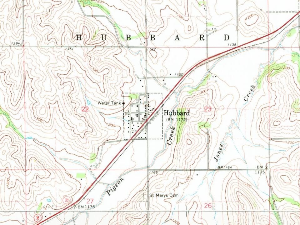
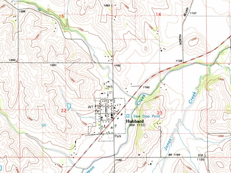
The Dakota City Land Company laid out Hubbard in 1880. The town was named after Judge Asahel W. Hubbard, president of the Covington, Columbus & Black Hills Railroad.
Passages that mention Hubbard, cut from the printed page as they were published.
Warner's history of Dakota County, Nebraska, from the days of the pioneers and first settlers to the present time, with biographical sketches, and anecdotes of ye olden times1893 · page 154Read the page →
Read the text
The Hubbard cemetery is situated on the high hills a short distance south of the town of Hubbard, and was deeded to the association by John Howard.
Text read by machine from the scan; it may contain errors.
Warner's history of Dakota County, Nebraska, from the days of the pioneers and first settlers to the present time, with biographical sketches, and anecdotes of ye olden times1893 · page 150Read the page →
Read the text
Hubbard precinct was organized in 1882. July 23, 1884, Pender and Emerson precincts were established.
Text read by machine from the scan; it may contain errors.
Scans and text from the Internet Archive. Books published in 1930 or earlier, which are in the public domain.
Timeline
Hubbard, 1881 to 2010
Woven from the archive, old maps, post office records, the National Register and the people born here.
Founding dates: Wikidata, Wikipedia, the U.S. post office records of Blevins & Helbock (CC0) and the Census. Homes by year built: Census ACS 2020–24. National Register of Historic Places: National Park Service (list of May 22, 2026). Old photos, postcards and papers: Wikimedia Commons, the Library of Congress and other public archives, credited on each item’s page. Maps: U.S. Geological Survey historical topographic maps (via Esri) and Sanborn fire-insurance maps (Library of Congress). History text and census tables: Wikipedia (CC BY-SA 4.0). Places that used to be: USGS Geographic Names Information System (2021). How TownRatings grades history →
From Wikimedia Commons (5), Wikipedia, U.S. Geological Survey historical maps, U.S. Census counts (via Wikipedia), the US Post Offices dataset (Blevins & Helbock), the USGS Geographic Names Information System and old county and town histories (Internet Archive). Archive images are copied here with their credits and licenses, shown on each photo’s page. Refreshed monthly.


 2011
 2011
 2011
 2011
 2005