The present-day town of Barneston was settled at the site of one of the largest Oto villages in the 19th century. The agency and a trading post were located there. Barneston was founded by a French fur trapper who was married to an Oto woman.
Barnestown was platted in 1884 when the Marysville and Blue Valley Railroad was extended to that point. The community was named after Francis M. Barnes, an early settler.
Barneston’s post office has been open since 1950. Two other post offices opened and closed inside today’s town.
Otoe Agency
1862–1880
Barnston
1880–1950
Barneston
1950–today
18601940today
Gone or out of use
Barneston Schoolschool
US Post Offices dataset (Blevins & Helbock, CC0). Places and cemeteries from the USGS Geographic Names Information System (2021).
From the old history books
What they wrote about Barneston in 1918
Passages that mention Barneston, cut from the printed page as they were published.
History of Gage County, Nebraska1918 · page 88Read the page →
Read the text
The permanent Indian village was located in Barneston township, mainly on the site of the present village of Barneston. At this point there was and still is a splendid spring of purest water, similar in quality to the well known Zimmerman spring from which the city of Beatrice draws its entire supply of water.
Text read by machine from the scan; it may contain errors.
History of Gage County, Nebraska1918 · page 275Read the page →
Read the text
The townsite of Barneston comprises the greater portion of the northwest quarter of section 18, township 1 north, range 8 east, while West Barneston, an addition to the original town, lies in the northeast quarter of section 13, township 1 north, range 7 east, where the railway line, sidetracks and station are located. The owners of the originaltown-
Text read by machine from the scan; it may contain errors.
Scans and text from the Internet Archive. Books published in 1930 or earlier, which are in the public domain.
Timeline
Barneston, 1862 to 1970
Woven from the archive, old maps, post office records, the National Register and the people born here.
Founding dates: Wikidata, Wikipedia, the U.S. post office records of Blevins & Helbock (CC0) and the Census. Homes by year built: Census ACS 2020–24. National Register of Historic Places: National Park Service (list of May 22, 2026). Old photos, postcards and papers: Wikimedia Commons, the Library of Congress and other public archives, credited on each item’s page. Maps: U.S. Geological Survey historical topographic maps (via Esri) and Sanborn fire-insurance maps (Library of Congress). History text and census tables: Wikipedia (CC BY-SA 4.0). Places that used to be: USGS Geographic Names Information System (2021). How TownRatings grades history →
From Wikimedia Commons (2), Wikipedia, U.S. Geological Survey historical maps, U.S. Census counts (via Wikipedia), the US Post Offices dataset (Blevins & Helbock), the USGS Geographic Names Information System and old county and town histories (Internet Archive). Archive images are copied here with their credits and licenses, shown on each photo’s page. Refreshed monthly.
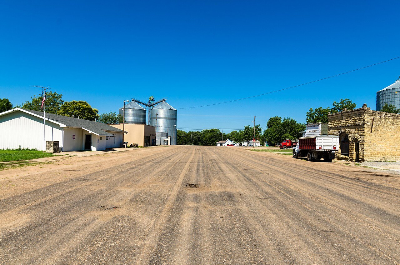


 2017
 2005


