Walnut Grove
Also known as Robeson Plantation
Many listed buildings are private homes. Please enjoy them from the street.
About the district
Walnut Grove was added to the National Register of Historic Places on May 29, 1975. The Register lists it for its agriculture and architecture, at the local level. It describes its style as Greek Revival, as it does for 471 other North Carolina listings. The district takes in 4 historic buildings. The listing covers 20 acres.
What it isHistoric plantation house complex and national historic district located near Tar Heel, Bladen County, North Carolina. From Wikidata (CC0). Read about it on Wikipedia ↗
PDFRead the original nominationThe form that put it on the Register, with its history, photos and a map · 52 MB · National Archives↗Finding Walnut Grove
East of Tar Heel on NC 87, in Tar Heel, NC


No other Register listing is within a short walk. The nearest are under Around it.
2 more Register listings within 2 miles
★ National Historic Landmark · D district · B building · S site. Each opens its own page.
Greek Revival style, nearby
Other National Register listings within 25 miles described as Greek Revival.


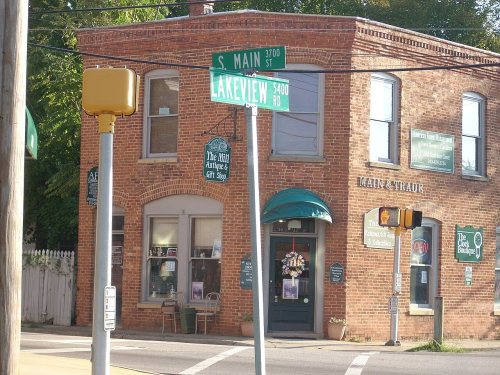
Memories of Walnut Grove
The record says what it is. Neighbors know what it means.
Your answer becomes a post in Town Square.
Questions about Walnut Grove
Is Walnut Grove on the National Register of Historic Places?
Yes. It was added on May 29, 1975 (Register number 75001241).
Is Walnut Grove a National Historic Landmark?
No. It is on the National Register; North Carolina has 36 National Historic Landmarks. The nearest is Market House, 23 miles away.
Can you visit Walnut Grove?
Our record doesn’t say whether it is open to visitors. Many listed buildings are private, so it may only be seen from the street.
Where can I read the history of Walnut Grove?
In its National Register nomination, the form that put it on the Register: a 52 MB PDF at the National Archives, linked on this page.
Sources: National Park Service, National Register of Historic Places (05/22/2026) · National Archives catalog record 47719071 · Wikidata. Map tiles © OpenStreetMap contributors.