
Saxapahaw Mill, 1917, 1917
Saxapahaw’s story
170 years in pictures
The archive holds 8 old photos and papers going back to 1917 and 2 maps from 1977 on.
2 places on the National Register of Historic Places.
- 1856Saxapahaw is settled
Each edition grades its towns against each other only.

Home to 2 places on the National Register of Historic Places.
The best of Saxapahaw’s subject grades is an A for cost of living; the weakest is a C− for incomes. Saxapahaw’s trail density is 1.2 miles per square mile, where North Carolina’s towns sit at 0.2 and U.S. towns at 0.4. Its National Register listings include Bingham School and Cooper School. Saxapahaw has fewer than 2,500 residents, so it gets subject grades but no overall grade.
Where Saxapahaw beats most towns.
In a town this size, neighbors are the best guide. Ask them anything.
Each subject compared with towns across the country (schools within North Carolina), ordered by how far Saxapahaw is from typical.
How TownRatings grades towns →
The archive holds 8 old photos and papers going back to 1917 and 2 maps from 1977 on.
2 places on the National Register of Historic Places.
Museums, parks, gardens and other places to visit around Saxapahaw. Close and well known come first.
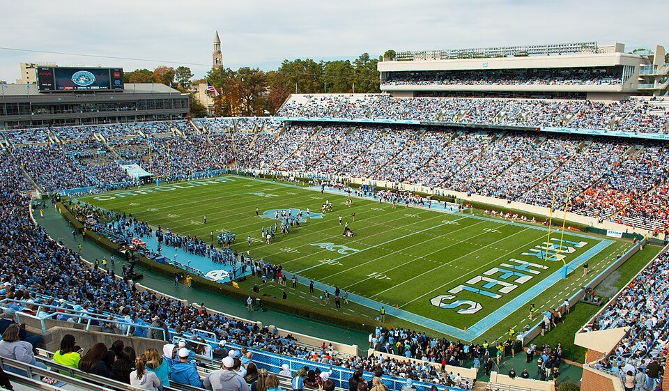 16 mi Stadium & arenaKenan Memorial Stadium
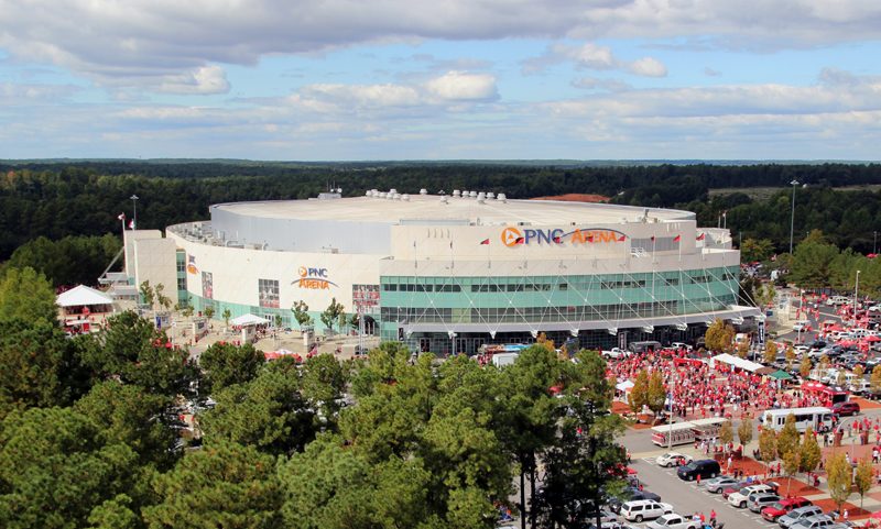 35 mi Stadium & arenaLenovo Center
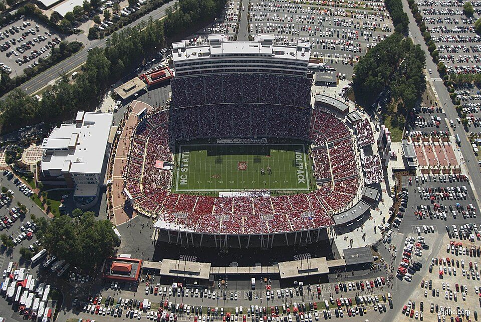 35 mi Stadium & arenaCarter–Finley Stadium
 34 mi Zoo & aquariumNorth Carolina Zoo700K visitors a year
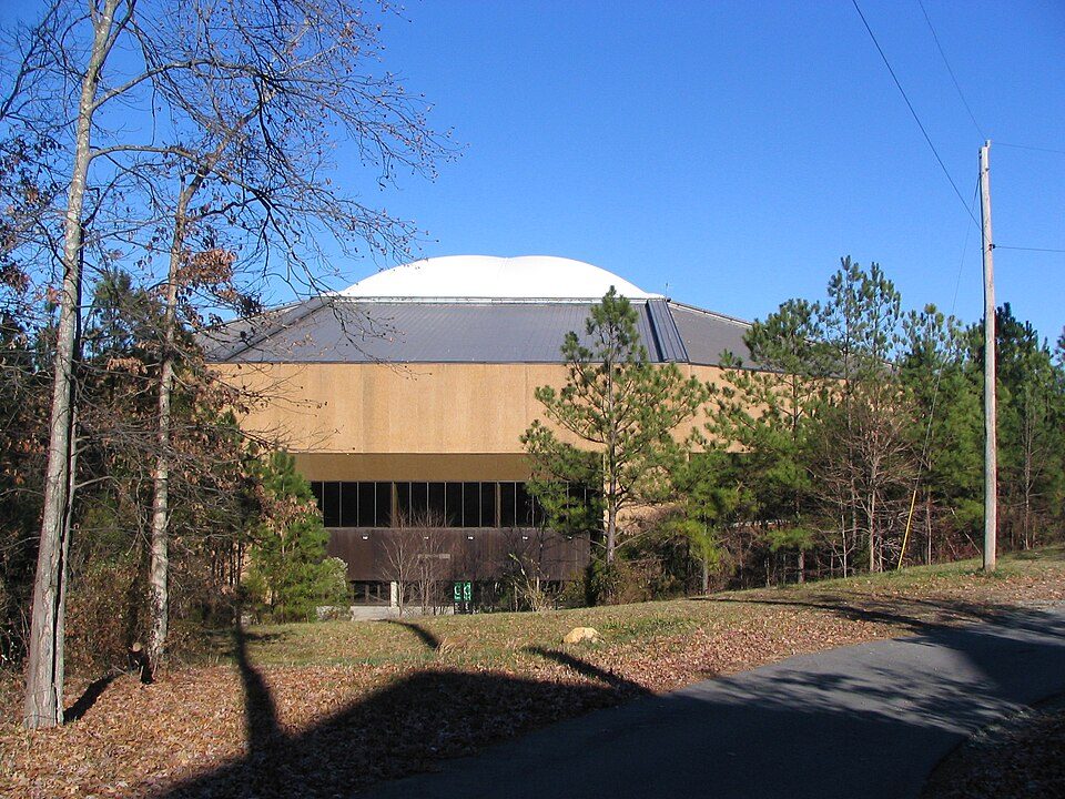 16 mi Stadium & arenaDean Smith Center
 20 mi LandmarkBennett Place State Historic Site
Kenan Memorial Stadium: Yeungb, CC BY 3.0 · Lenovo Center: Edward T. Funkhouser, CC BY-SA 3.0 · Carter–Finley Stadium: SMaloney, CC BY 3.0 · North Carolina Zoo: Diane Villa, CC BY-SA 4.0 · Dean Smith Center: No machine-readable author provided. Snargle~commonswiki assumed (based on copyr, Public domain · Bennett Place State Historic Site: Ildar Sagdejev (Specious), CC BY-SA 4.0
Saxapahaw is unincorporated, so Alamance County and regional agencies provide most services.
EPA SDWIS (Oct 9, 2026) · HIFLD + EIA-861 2025 · Census 2020 ZCTAs · NCES 2024–25 · registration: vote.gov, updated Nov 18, 2024.
Ordered by what stands out in Saxapahaw.
The income of the median household in Saxapahaw is $59,000. Between 2013 and 2023, jobs in the town rose by 26, to 172. Saxapahaw: 15% of residents live below the poverty line, above both North Carolina’s towns (13%) and U.S. towns (9.6%). The top destinations are Burlington (15%), Chapel Hill (11%) and Durham (9%).
| Saxapahaw | North Carolina towns | U.S. towns | |
|---|---|---|---|
| Working residents who work in town | 0.1% | 6.8% | 8% |
| Below the poverty line | 15% | 13% | 9.6% |
| Median household income | $59,000 | $69,000 | $80,000 |
| Average trip to work | 26 minutes | 24 minutes | 25 minutes |
Census LEHD 2023 · ACS
The largest public high school is The Hawbridge School, with 597 students. Two of its 3 schools are below, each with the reason it’s listed. Its public schools are run by The Hawbridge School.
| School | Level | Students | Letter |
|---|---|---|---|
| B. Everett Jordan ElementaryLargest public elementary schoolGrades K–5 | Grades K–5 | 338 | C− |
| The Hawbridge SchoolLargest public high schoolGrades K–12 | Grades K–12 | 597 | A− |
NCES · EDFacts · graded within NC on state tests and graduation
The range runs from 30° on a January night to 89° on a July afternoon, with about 2 inches of snow a winter.
NOAA U.S. Climate Normals, 1991–2020
Saxapahaw’s natural-hazard score from FEMA stands at 57 of 100. FEMA puts 65% of the town’s expected hazard losses down to inland flooding, and 13% to tornadoes.
FEMA National Risk Index · OpenFEMA
In Saxapahaw, 26% of adults have been diagnosed with depression, and 38% have obesity. The town tracks North Carolina closely on all 32 CDC measures. For adults 18 to 64 here, the share who have no health insurance is 12%.
| Saxapahaw | North Carolina towns | U.S. towns | |
|---|---|---|---|
| High blood pressure (CDC PLACES) | 34% | 38% | 35% |
| Depression (CDC PLACES) | 26% | 25% | 23% |
| Obesity (CDC PLACES) | 38% | 36% | 35% |
| Diabetes (CDC PLACES) | 11% | 13% | 12% |
CDC PLACES 2025 · modeled estimates for adults · CMS · HRSA
The biggest park or preserve is Saxapahaw Island, at 22 acres. Across 1 park or preserve: 6.5 miles of trail.
| Biggest places to walk | Trails | Acres |
|---|---|---|
| 1. Saxapahaw Island | 0.1 mi | 22 |
Trails & parks © OpenStreetMap contributors · Conserved land: USGS PAD-US
Saxapahaw: 81% of households are owner-occupiers.
Census ACS, 2020–24 · Zillow Home Value Index · Redfin Data Center
2 within 15 miles of the center of Saxapahaw
About 1 of every 100 Saxapahaw residents are enrolled in college, against 6 across North Carolina.
Where Saxapahaw’s working residents go each day. Line width shows the share.
Census LEHD 2023
Census-designated place in North Carolina, United States
Saxapahaw ( SAKS-uh-puh-haw) is a census-designated place (CDP) and unincorporated area in Alamance County, North Carolina, United States. It is part of the Burlington, North Carolina Metropolitan Statistical Area. As of the 2020 census, Saxapahaw had a population of 1,671.
From Wikipedia, licensed CC BY-SA 4.0 · facts via Wikidata (CC0)
Short answers, built from the data on this page.
Home to 2 places on the National Register of Historic Places.
Not for the area. The typical home is worth about $194,000, 42% below the North Carolina typical home. Cost of living, which also weighs rents, property taxes and how many households pay 30% or more of their income for housing, grades A.
2 notable people were born here, including Sallie W. Stockard and Wade Marlette.


