Bethania dates to 1759, and 3 of its places are on the National Register
Most of Bethania was built recently: 10% of its homes predate 1940 and the median home dates from 1975. 3 places in town are on the National Register, among them the Bethania Historic District, a National Historic Landmark, and three historic districts with 57 buildings between them. Below: old-book passages.
The country’s official list of buildings and places worth saving. One is a National Historic Landmark, the highest tier. Boundary changes and added documentation are counted with their listing.
The first planned Moravian settlement in North Carolina, Bethania exists as the only remaining independent, continuously active Moravian village in the southern United States, and is the only known existing Germanic-type linear agricultural village in the South. The 500-acre (2.0 km2) Bethania National Historic Landmark district is the largest such district in Forsyth County. Bethania and its 18th- and 19th-century properties are listed on the National Register of Historic Places.
Passages that mention Bethania, cut from the printed page as they were published.
Sesqui-centennial, Bethania congregation, 1759-19091909 · page 43Read the page →
Read the text
The main street of Bethania was laid out, 66 feet wide ; cross streets or lanes were laid out, at regular intervals, 3 on each side. The Bethabara friends were to work on the houses, while the Bethania citizens were to prepare the ground for cultivation. During these first days, the terrible epidemic of typhus fever came to Bethabara, and 12 new-made graves on the hill side, of their best men and women, made a great
Text read by machine from the scan; it may contain errors.
Sesqui-centennial, Bethania congregation, 1759-19091909 · page 54Read the page →
Read the text
Of course mills were a necessity in any new settlement so the Bethabara Mill (whose first miller was Jacob Kapp) supplied all the country round till 1783 when the first Bethania Grist mill was begun and completed in 1784. It lay just north of town, and was later bought by Abraham Conrad, probably of the church, in 1822. Jonas Warner was his first miller. This mill was burned down by deserters in
Text read by machine from the scan; it may contain errors.
Scans and text from the Internet Archive. Books published in 1930 or earlier, which are in the public domain.
Timeline
Bethania, 1759 to 2001
Woven from the archive, old maps, post office records, the National Register and the people born here.
Founding dates: Wikidata, Wikipedia, the U.S. post office records of Blevins & Helbock (CC0) and the Census. Homes by year built: Census ACS 2020–24. National Register of Historic Places: National Park Service (list of May 22, 2026). Old photos, postcards and papers: Wikimedia Commons, the Library of Congress and other public archives, credited on each item’s page. Maps: U.S. Geological Survey historical topographic maps (via Esri) and Sanborn fire-insurance maps (Library of Congress). History text and census tables: Wikipedia (CC BY-SA 4.0). Places that used to be: USGS Geographic Names Information System (2021). How TownRatings grades history →
From Wikimedia Commons (1), Wikidata (1), the National Register of Historic Places (3), Wikipedia, Wikidata and Wikipedia for famous people, the US Post Offices dataset (Blevins & Helbock), the USGS Geographic Names Information System and old county and town histories (Internet Archive). Archive images are copied here with their credits and licenses, shown on each photo’s page. Refreshed monthly.
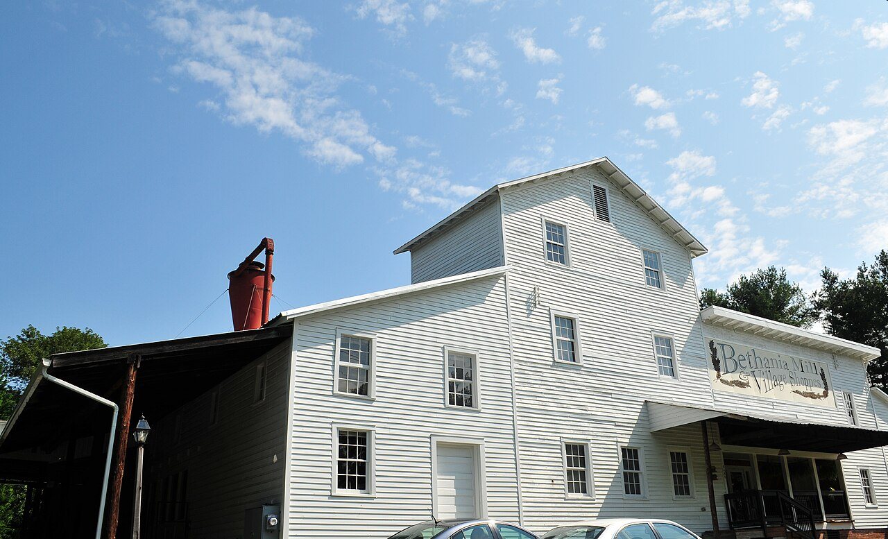

 ★ Landmark


 2013