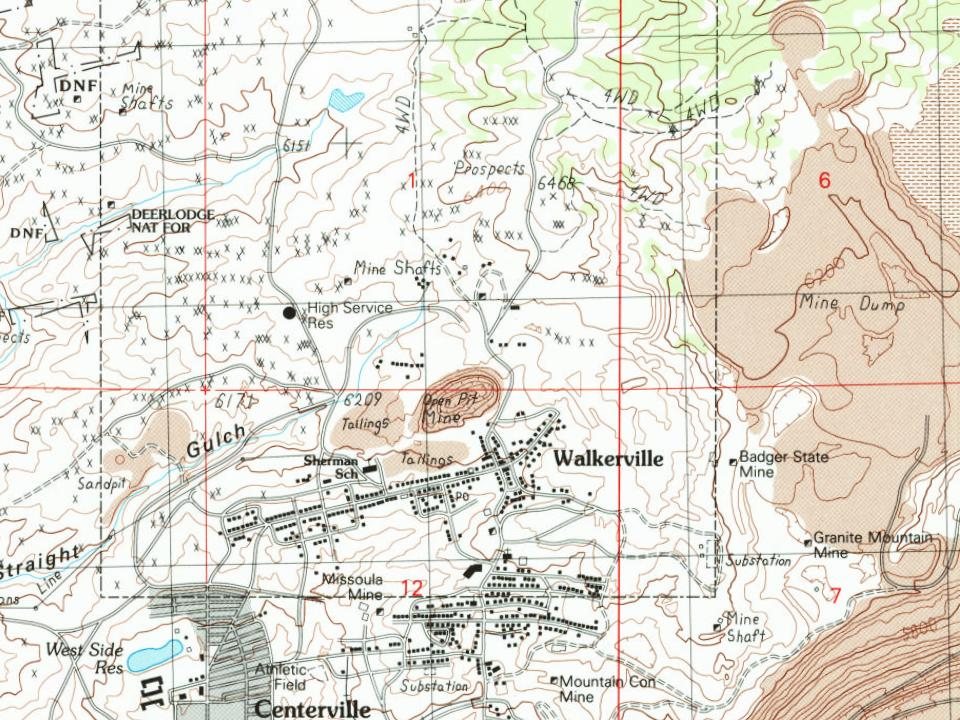
Walkerville is a suburb of Butte, Montana and is home to some of the earliest mining sites in the area. These sites attracted many investors to Walkerville in the late 1800s. Walkerville is named for four of those investors: brothers Joseph, Samuel, Matthew and David Walker of Salt Lake City; they had purchased the lucrative Alice mine upon recommendation by their agent (and later Copper King) Marcus Daly.
Nothing in the archives for these yearsWeddings on Main Street, storms, parades, school pictures, the old store. If it’s in your family album, it belongs here.
Lost post offices, old corners and places now gone
Walkerville had its own post office from 1878 to 1959.
Walkerville
1878–1959
18701950today
Hamlets and corners on the map
AllendaleButchertownNorth WalkervilleStringtown
Gone or out of use
1706 North Main Street Minemine43 West La Plata Street MinemineAlice PitmineBlaine School MinemineEveline MinemineGlengarry MinemineGoldsmithmineGoldsmith MinemineJosephine Flag MinemineLexington MinemineLexington MinemineLexington Sand Pass MinemineMagna Charta MinemineMissoula MinemineMoose Air ShaftmineMoose Auraria MineminePaymaster MinemineRailroad Loop Minemine
US Post Offices dataset (Blevins & Helbock, CC0). Places and cemeteries from the USGS Geographic Names Information System (2021).
Questions about Walkerville’s history
What year was Walkerville founded?
The Walkerville post office opened in 1878, the earliest record of the town by name (U.S. post office records).
Founding dates: Wikidata, Wikipedia, the U.S. post office records of Blevins & Helbock (CC0) and the Census. Homes by year built: Census ACS 2020–24. National Register of Historic Places: National Park Service (list of May 22, 2026). Old photos, postcards and papers: Wikimedia Commons, the Library of Congress and other public archives, credited on each item’s page. Maps: U.S. Geological Survey historical topographic maps (via Esri) and Sanborn fire-insurance maps (Library of Congress). History text and census tables: Wikipedia (CC BY-SA 4.0). Places that used to be: USGS Geographic Names Information System (2021). How TownRatings grades history →
From Wikimedia Commons (2), the Library of Congress (1), Wikidata (1), Wikipedia, Wikidata and Wikipedia for famous people, U.S. Geological Survey historical maps, U.S. Census counts (via Wikipedia), the US Post Offices dataset (Blevins & Helbock) and the USGS Geographic Names Information System. Archive images are copied here with their credits and licenses, shown on each photo’s page. Refreshed monthly.


 2025