
Book · Wikimedia Commons
2010 Census Urban Cluster Reference Map for
2010from the source
Department of Commerce. Bureau of the Census. Office of the Associate Director for Decennial Census. Geography Division. (1/1987 - 7/15/2011) · Wikimedia Commons · Public domain
What neighbors know
Know something about this?
Lived nearby, know who’s pictured, or remember what it used to be? Add it here.
A memory or a clue…Sign in to add a memory
No memories yet. Know what stands here today, who is pictured, or when it was taken? Be the first.
Same decade
The whole archive →Lolo in the 2010s
 2011Lolo montana 01
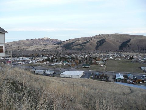 2011Lolo montana 02
 2011Lolo montana 03
 2011Lolo montana 04
 2011Lolo montana 05
 2011Npnht-travelers-rest-state-parkr-lolo-montana-october…
 2011Traveler's Rest State Park plaque
 2013Bitterroot-flowers-lolo-mt-06012013-rogermpeterson-002
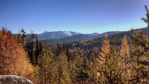 2013Elk Meadows Road and East Fork of Lolo Creek Road
 2013Elk Meadows Road and East Fork of Lolo Creek Road10
 2013Elk Meadows Road and East Fork of Lolo Creek Road11
 2013Elk Meadows Road and East Fork of Lolo Creek Road2
Archive images are copied here with their credits and licenses. The original at Wikimedia Commons.