Sumner’s post office opened in 1892, and 32% of its homes were built before 1940
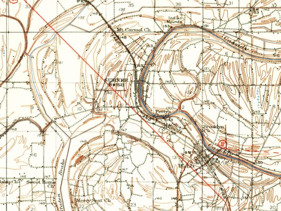
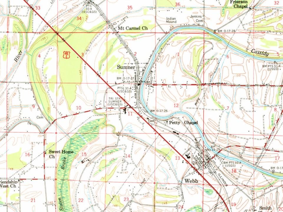
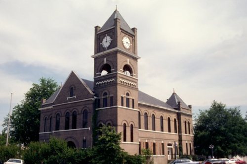
Its Register listings are the Tallahatchie County Second District Courthouse and the Murphey-Jennings House. Below: maps from 1931 on and the census since 1910.
The heavily wooded swamp along the Tallahatchie River was historically part of the Choctaw Nation, one of the Five Civilized Tribes of the Southeast. Ceding large amounts of territory to the United States, they were forced to remove to Indian Territory in the 1830s under the Indian Removal Act.
Afterward the US government sold the lands to European-American families. Among the early settlers were the Sumner family. The bottomland was covered by trees, vines, and underbrush when the pioneers started clearing the land for agriculture. The wealthiest men developed their property through the labor of enslaved African Americans. Their work on cotton plantations produced the commodity crop that was the basis of the economy for decades.
Founding dates: Wikidata, Wikipedia, the U.S. post office records of Blevins & Helbock (CC0) and the Census. Homes by year built: Census ACS 2020–24. National Register of Historic Places: National Park Service (list of May 22, 2026). Old photos, postcards and papers: Wikimedia Commons, the Library of Congress and other public archives, credited on each item’s page. Maps: U.S. Geological Survey historical topographic maps (via Esri) and Sanborn fire-insurance maps (Library of Congress). History text and census tables: Wikipedia (CC BY-SA 4.0). Places that used to be: USGS Geographic Names Information System (2021). How TownRatings grades history →
From Wikimedia Commons (1), Wikidata (1), the National Register of Historic Places (2), Wikipedia, U.S. Geological Survey historical maps, U.S. Census counts (via Wikipedia), the US Post Offices dataset (Blevins & Helbock) and the USGS Geographic Names Information System. Archive images are copied here with their credits and licenses, shown on each photo’s page. Refreshed monthly.

 2018