Edwards’ post office opened in 1883, and 12% of its homes were built before 1940
2 places in town are on the National Register, among them a historic district with 6 buildings. Below: 5 old photos and papers, maps from 1893 on, and the census since 1900.
The Edwards post office opened in 1883, the earliest record of the town by name. Another post office, Edwards Depot (1842), opened inside today’s town and later closed.
First census: 586 in 19002020 census: 995143 years
Founding year: the first Edwards post office (Blevins & Helbock, CC0).The full story ↓
What stands out about Edwards’ past
Read from the archive, the National Register and the record. The page puts what stands out first.
Lost a third of its people between 1920 and 1930, then more than doubled.
13 censuses, 1900–2020.
U.S. Census Bureau decennial counts, from the census table on Edwards’ Wikipedia page.
Every building
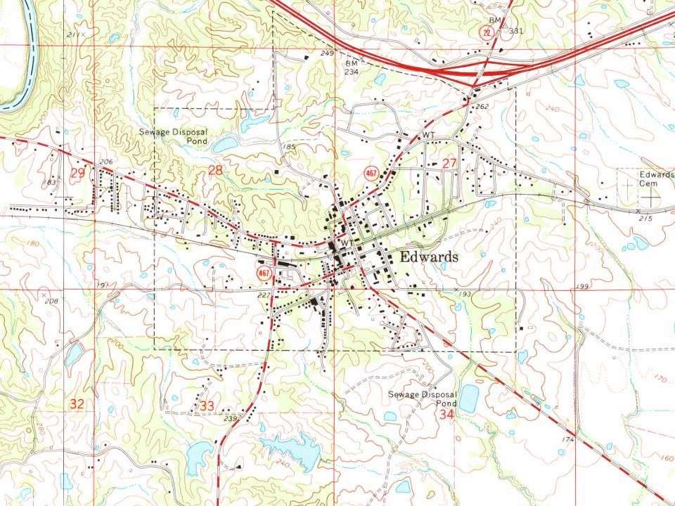
Edwards, building by building, 1893–1909
Fire insurance maps drew every building, what it was made of and what it was used for, so insurers could price the risk of fire. Pick a year, then a sheet.
Edwards is named for Dick Edwards, owner and proprietor of the Edwards House in Jackson, Mississippi.
Edwards was originally named "Amsterdam" and settled in the 1830s. In 1832, it suffered from a cholera epidemic and was then bypassed by the Alabama and Vicksburg Railroad. This happened in 1839 when R. O. Edwards' plantation became a stop on the railroad known as Edwards Depot.
The depot was burned to prevent its use during the Civil War in 1863. The current site of Edwards was chosen in 1866 and was incorporated in 1871.
Passages that mention Edwards, cut from the printed page as they were published.
History of Hinds County, Mississippi, 1821-1922. Published in commemoration of the centenary of the city of Jackson ... by Mrs. Dunbar Rowland (Eron O. Rowland)1922Read the page →
Read the text
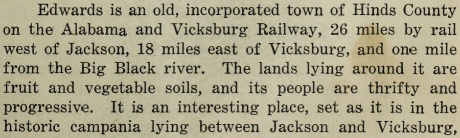
Edwards is an old, incorporated town of Hinds County on the Alabama and Vicksburg Railway, 26 miles by rail west of Jackson, 18 miles east of Vicksburg, and one mile from the Big Black river. The lands lying around it are fruit and vegetable soils, and its people are thrifty and progressive. It is an interesting place, set as it is in the historic campania lying between Jackson and Vicksburg,
Text read by machine from the scan; it may contain errors.
Scans and text from the Internet Archive. Books published in 1930 or earlier, which are in the public domain.
Timeline
Edwards, 1842 to 1982
Woven from the archive, old maps, post office records, the National Register and the people born here.
Nothing in the archives for these yearsWeddings on Main Street, storms, parades, school pictures, the old store. If it’s in your family album, it belongs here.
Founding dates: Wikidata, Wikipedia, the U.S. post office records of Blevins & Helbock (CC0) and the Census. Homes by year built: Census ACS 2020–24. National Register of Historic Places: National Park Service (list of May 22, 2026). Old photos, postcards and papers: Wikimedia Commons, the Library of Congress and other public archives, credited on each item’s page. Maps: U.S. Geological Survey historical topographic maps (via Esri) and Sanborn fire-insurance maps (Library of Congress). History text and census tables: Wikipedia (CC BY-SA 4.0). Places that used to be: USGS Geographic Names Information System (2021). How TownRatings grades history →
From Wikimedia Commons (1), the Library of Congress (5), Wikidata (1), the National Register of Historic Places (2), Wikipedia, Wikidata and Wikipedia for famous people, U.S. Geological Survey historical maps, U.S. Census counts (via Wikipedia), the US Post Offices dataset (Blevins & Helbock), the USGS Geographic Names Information System, Sanborn fire insurance maps (Library of Congress) and old county and town histories (Internet Archive). Archive images are copied here with their credits and licenses, shown on each photo’s page. Refreshed monthly.


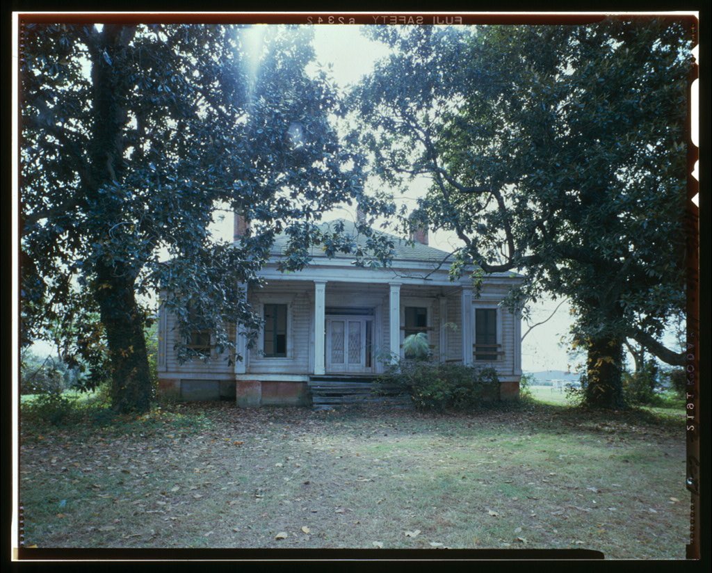



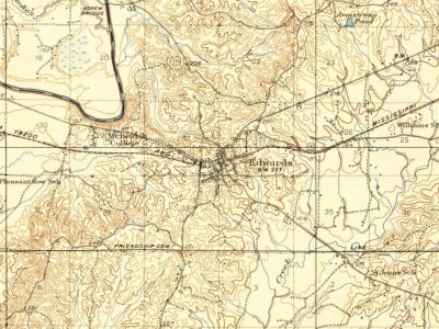
 1936
 1936
 Date?
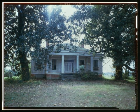 Date?
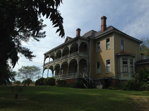
 2006