🏛️ Town & public services · Transportation
Safe Way Carrier
A transportation on W Old Route 66. The nearest other place is 1 min walk away. One of 8 town & public services in Strafford.


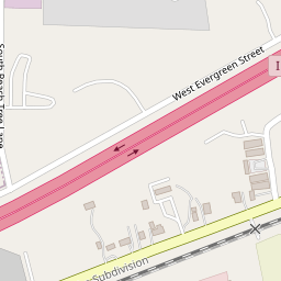


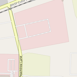


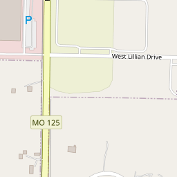
Where it is
Directions →2401 W Old Route 66
The nearest neighbor is TruMo Analytics, 1 min walk away.
Address2401 W Old Route 66 · 65757-7414
HoursNot listed yetAdd the hours
Phone(417) 866-7611
About
What it is
Travel And Transportation
Know Safe Way Carrier? .
Around the corner
Close by
4 places within a five-minute walk of Safe Way Carrier.
💼
TruMo AnalyticsBiotechnology company
1 min walk🚗Arrow Truck SalesCar dealer
1 min walk🧰AmeriGas PropanePlace
1 min walk🏛️U S Government Immigration and Custom EnforcementCentral government office
4 min walk⛪East Gate Regional ChurchReligious organization
7 min walk🧰TransLandFreight and cargo service
8 min walkPhotos
No photos yet
Be the first to show what Safe Way Carrier looks like.
Sign in to add a photo.
Neighbor reviews
No reviews yet
What should the next neighbor know?
Sign in to leave a review.
More like this
All 8 →More town & public services in Strafford
Local favorites first.
Strafford Police Department
Police department · 125 S Jefferson St
U S Government Immigration and Custom Enforcement
Central government office · 2401 W Old Route 66
Fix a detailWrong hours or phone? Moved or closed? Neighbors keep this right.✎
Address
2401 W Old Route 66
Hours
Not set
Phone
(417) 866-7611
Website
https://swcarrier.com/
Status
Open
Sign in to suggest a change or confirm one.
Talk about Safe Way Carrier
Tips, questions and shout-outs from Strafford neighbors.
Start the conversation
Some place details from Overture Maps (CDLA-Permissive-2.0). Changes go live once a second neighbor confirms them.