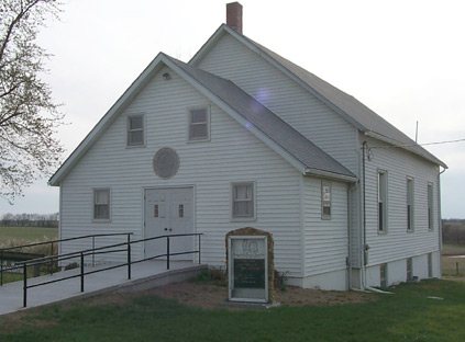
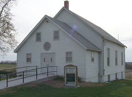
The Mirabile Township post office opened in 1849, the earliest record of the town by name. Four smaller post offices, Far West (1837), Plum Creek (1848) and Mirabile (1849), opened inside today’s town and later closed.
2020 census: 357177 years
Founding year: the first Mirabile Township post office (Blevins & Helbock, CC0).The full story ↓
What stands out about Mirabile Township’s past
Read from the archive, the National Register and the record. The page puts what stands out first.
Lost post offices, old corners, places now gone and burying grounds
Four other post offices opened and closed inside today’s town.
Far West
1837–1847
Plum Creek
1848–1849
Mirabile
1849–1941
Kerr
1886–1906
18301930today
Hamlets and corners on the map
Far WestKerrMirabile
Gone or out of use
Corner SchoolschoolFar West ChurchchurchFar West SchoolschoolMirabile Center SchoolschoolOakland SchoolschoolPleasant Grove SchoolschoolPlum Creek Schoolschool
4cemeteries and burying grounds inside Mirabile Township
HillMirabileMorrisPaxton
US Post Offices dataset (Blevins & Helbock, CC0). Places and cemeteries from the USGS Geographic Names Information System (2021).
Timeline
Mirabile Township, 1837 to 1941
Woven from the archive, old maps, post office records, the National Register and the people born here.
Mirabile, established in 1848 by William Marquam, is the second oldest community in the county. A post office called Mirabile was established in 1849, and remained in operation until 1941. Mirabile is a name derived from Latin meaning "wonderful".
Founding dates: Wikidata, Wikipedia, the U.S. post office records of Blevins & Helbock (CC0) and the Census. Homes by year built: Census ACS 2020–24. National Register of Historic Places: National Park Service (list of May 22, 2026). Old photos, postcards and papers: Wikimedia Commons, the Library of Congress and other public archives, credited on each item’s page. Maps: U.S. Geological Survey historical topographic maps (via Esri) and Sanborn fire-insurance maps (Library of Congress). History text and census tables: Wikipedia (CC BY-SA 4.0). Places that used to be: USGS Geographic Names Information System (2021). How TownRatings grades history →
From the National Register of Historic Places (1), Wikipedia, the US Post Offices dataset (Blevins & Helbock) and the USGS Geographic Names Information System. Archive images are copied here with their credits and licenses, shown on each photo’s page. Refreshed monthly.