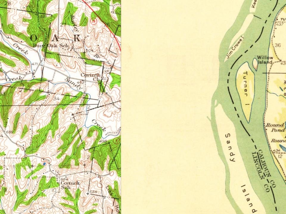
Most of Foley was built recently: 6% of its homes predate 1940 and the median home dates from 1970. Below: maps from 1930 on and the census since 1880.
Foley was platted in 1879. Some say the town was named after Addison Foley, the original owner of the town site, while others believe the community has the name of one Miss Addie Foley, another early settler. A post office called Foley has been in operation since 1880.
Passages that mention Foley, cut from the printed page as they were published.
History of Lincoln County, Missouri, from the earliest time to the present1888 · page 489Read the page →
Read the text
The Corinth Christian, Church, situated about one and a half miles north of the village of Foley, was organized in 1848, at the house of Frank Riffles, and in 1871 the frame church building, in which the society now worships, was built.
Text read by machine from the scan; it may contain errors.
History of Lincoln County, Missouri, from the earliest time to the present1888 · page 413Read the page →
Read the text
Foley is situated on the St. Louis, Keokuk & Northwestern Railroad, fifty-one miles from St. Louis, and on part of Section 1, Township 49 north, Range 2 east, and on parts of Surveys 425 and 741. A short time before the railroad was completed to this point B. F. Robertson bought six acres of land and gave the company $500 in consideration of their locating the depot on his land, where it now stands. About this time Mr. Robertson bought 144 acres more adjoining the town, and associated
Text read by machine from the scan; it may contain errors.
Scans and text from the Internet Archive. Books published in 1930 or earlier, which are in the public domain.
Timeline
Foley, 1879 to 1930
Woven from the archive, old maps, post office records, the National Register and the people born here.
Founding dates: Wikidata, Wikipedia, the U.S. post office records of Blevins & Helbock (CC0) and the Census. Homes by year built: Census ACS 2020–24. National Register of Historic Places: National Park Service (list of May 22, 2026). Old photos, postcards and papers: Wikimedia Commons, the Library of Congress and other public archives, credited on each item’s page. Maps: U.S. Geological Survey historical topographic maps (via Esri) and Sanborn fire-insurance maps (Library of Congress). History text and census tables: Wikipedia (CC BY-SA 4.0). Places that used to be: USGS Geographic Names Information System (2021). How TownRatings grades history →
From Wikimedia Commons (2), Wikipedia, U.S. Geological Survey historical maps, U.S. Census counts (via Wikipedia), the US Post Offices dataset (Blevins & Helbock), the USGS Geographic Names Information System and old county and town histories (Internet Archive). Archive images are copied here with their credits and licenses, shown on each photo’s page. Refreshed monthly.
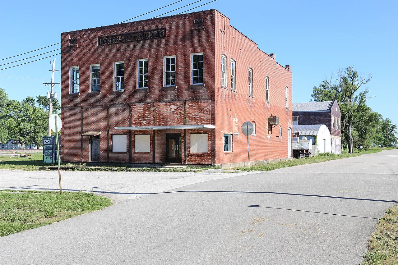


 2018
 2008