Passages that mention Deepwater, cut from the printed page as they were published.
History of Henry County, Missouri1919 · page 610Read the page →
Read the text
with his widowed mother. They settled at Sandyhook and later removed to Knox County, Missouri, where he grew to manhood and was married to Rosa J. Sharp. In 1885 he came to Henry County with his family and located at Deepwater, which was the year that the town of Deepwater was laid out. W. E. Goodwin was an ordained minister and for a number of years was identified with the American Bible Society. He has always been active in religious work and was principally the founder of the Southern Methodist Church at Deepwater. He and his wife contributed
Text read by machine from the scan; it may contain errors.
History of Henry County, Missouri1919 · page 162Read the page →
Read the text
In May of this year Clinton and Osceola were connected by rail, but the new town of Deepwater had only a stage line leaving Clinton every morning at 8 o'clock. The towns of Garland and Maurine were laid out on the Kansas City & Southern, and active building continued at Urich.
Text read by machine from the scan; it may contain errors.
Scans and text from the Internet Archive. Books published in 1930 or earlier, which are in the public domain.
By decade
Deepwater, decade by decade
One decade in the archive so far: the 1900s. Scroll each row; tap a photo for its story.
Nothing in the archives for these yearsWeddings on Main Street, storms, parades, school pictures, the old store. If it’s in your family album, it belongs here.
Founding dates: Wikidata, Wikipedia, the U.S. post office records of Blevins & Helbock (CC0) and the Census. Homes by year built: Census ACS 2020–24. National Register of Historic Places: National Park Service (list of May 22, 2026). Old photos, postcards and papers: Wikimedia Commons, the Library of Congress and other public archives, credited on each item’s page. Maps: U.S. Geological Survey historical topographic maps (via Esri) and Sanborn fire-insurance maps (Library of Congress). History text and census tables: Wikipedia (CC BY-SA 4.0). Places that used to be: USGS Geographic Names Information System (2021). How TownRatings grades history →
From Wikimedia Commons (3), the Library of Congress (9), Wikipedia, Wikidata and Wikipedia for famous people, U.S. Geological Survey historical maps, U.S. Census counts (via Wikipedia), the US Post Offices dataset (Blevins & Helbock), the USGS Geographic Names Information System and old county and town histories (Internet Archive). Archive images are copied here with their credits and licenses, shown on each photo’s page. Refreshed monthly.


 Date?
 Date?
 Date?
 Date?
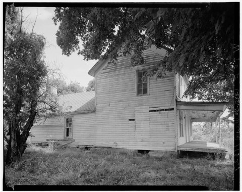 Date?
 Date?
 Date?
 Date?
 Date?
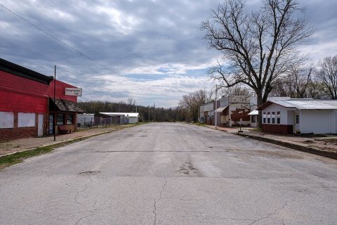 2024
 2014

