Passages that mention Creighton, cut from the printed page as they were published.
History of Cass County, Missouri1917 · page 118Read the page →
Read the text
But the bank disaster was not the only impediment that the new town had to contend with. Creighton is just three and one-half miles north of Grand River, which forms the dividing line, at this point, between Bates and Cass Counties. Forty per cent, of the trade which rightfully belongs to Creighton should come from Bates County. Grand River bottom has always been a great hinderance and has much impeded the development of the town. When the bridge over Grand River was built, three roads led to it from the south. Each of the roads cross
Text read by machine from the scan; it may contain errors.
History of Cass County, Missouri1917 · page 163Read the page →
Read the text
In the southeastern part of the county, near the town of Creighton, some coal is being dug with profit. In the western and northwestern part of the county is found gas, used for homes and bids fair to become in the near future a valuable article of commerce. Valuable clay for brick and tiling is found a short distance southwest of Harrisonville. Parties have formed a company, bought tracts of land, and are preparing to turn this clay into useful articles of commerce. A tiling plant is in process of operation here, under the ownership (practically) and management of the
Text read by machine from the scan; it may contain errors.
Scans and text from the Internet Archive. Books published in 1930 or earlier, which are in the public domain.
Timeline
Creighton, 1885 to 1887
Woven from the archive, old maps, post office records, the National Register and the people born here.
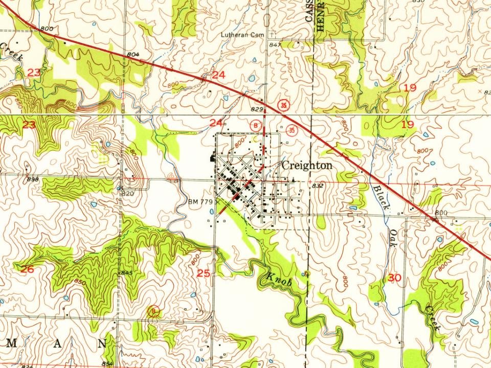
Founding dates: Wikidata, Wikipedia, the U.S. post office records of Blevins & Helbock (CC0) and the Census. Homes by year built: Census ACS 2020–24. National Register of Historic Places: National Park Service (list of May 22, 2026). Old photos, postcards and papers: Wikimedia Commons, the Library of Congress and other public archives, credited on each item’s page. Maps: U.S. Geological Survey historical topographic maps (via Esri) and Sanborn fire-insurance maps (Library of Congress). History text and census tables: Wikipedia (CC BY-SA 4.0). Places that used to be: USGS Geographic Names Information System (2021). How TownRatings grades history →
From Wikimedia Commons (2), Wikipedia, U.S. Geological Survey historical maps, U.S. Census counts (via Wikipedia), the US Post Offices dataset (Blevins & Helbock), the USGS Geographic Names Information System, Sanborn fire insurance maps (Library of Congress) and old county and town histories (Internet Archive). Archive images are copied here with their credits and licenses, shown on each photo’s page. Refreshed monthly.




 2024
 2004


