Craig was laid out in 1869. The city was named after the attorney and Missouri politician Gen. James Craig. A post office also named Craig has been in operation since 1869.
The BNSF railroad still runs trains daily through Craig on the Napier Subdivision.
Peaked at 775 in 1900; 105 people lived here in 2020.
15 censuses, 1880–2020.
U.S. Census Bureau decennial counts, from the census table on Craig’s Wikipedia page.
From the old history books
What they wrote about Craig in 1917
Passages that mention Craig, cut from the printed page as they were published.
History of Holt County, Missouri1917 · page 322Read the page →
Read the text
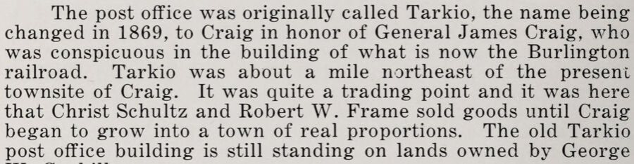
The post office was originally called Tarkio, the name being changed in 1869, to Craig in honor of General James Craig, who was conspicuous in the building of what is now the Burlington railroad. Tarkio was about a mile northeast of the present townsite of Craig. It was quite a trading point and it was here that Christ Schultz and Robert W. Frame sold goods until Craig began to grow into a town of real proportions. The old Tarkio post office building is still standing on lands owned by George
Text read by machine from the scan; it may contain errors.
History of Holt County, Missouri1917 · page 317Read the page →
Read the text
The town of Craig was laid out early in the fall of 1868, by the original proprietors, Robert W. Frame, Christ Shults and Samuel Ensworth. Its present population is between 600 and 700. The town was named for Gen. James Craig of St. Joseph, who was active in the building of the railroad which called the town into existence.
Text read by machine from the scan; it may contain errors.
Scans and text from the Internet Archive. Books published in 1930 or earlier, which are in the public domain.
Timeline
Craig, 1869 to 1920
Woven from the archive, old maps, post office records, the National Register and the people born here.
Nothing in the archives for these yearsWeddings on Main Street, storms, parades, school pictures, the old store. If it’s in your family album, it belongs here.
U.S. Geological Survey historical topographic maps (public domain), via Esri’s collection of the scans. The red ring marks the center of Craig.
Every building
Craig, building by building, 1900–1911
Fire insurance maps drew every building, what it was made of and what it was used for, so insurers could price the risk of fire. Pick a year, then a sheet.
1900Sheet 1 of 1
Edition
Sheets
BrickWoodStone
Sanborn Map Company, via the Library of Congress. Editions published in 1930 or earlier, which are in the public domain.
Then & now
Stand where they stood
No then-and-now pairs yet. Take a photo from the same spot as an old one and they appear here side by side.
Retake this viewHigh school, 1908
Find the spot, match the angle, and add your photo. It becomes the first then-and-now pair on Craig’s page.
Founding dates: Wikidata, Wikipedia, the U.S. post office records of Blevins & Helbock (CC0) and the Census. Homes by year built: Census ACS 2020–24. National Register of Historic Places: National Park Service (list of May 22, 2026). Old photos, postcards and papers: Wikimedia Commons, the Library of Congress and other public archives, credited on each item’s page. Maps: U.S. Geological Survey historical topographic maps (via Esri) and Sanborn fire-insurance maps (Library of Congress). History text and census tables: Wikipedia (CC BY-SA 4.0). Places that used to be: USGS Geographic Names Information System (2021). How TownRatings grades history →
From Wikimedia Commons (2), the Library of Congress (3), Wikipedia, U.S. Geological Survey historical maps, U.S. Census counts (via Wikipedia), the US Post Offices dataset (Blevins & Helbock), Sanborn fire insurance maps (Library of Congress) and old county and town histories (Internet Archive). Archive images are copied here with their credits and licenses, shown on each photo’s page. Refreshed monthly.




 1908
 1908
 2020
 2004

