More historic than 26% of U.S. towns · #182 of 247 in Missouri. What drives it
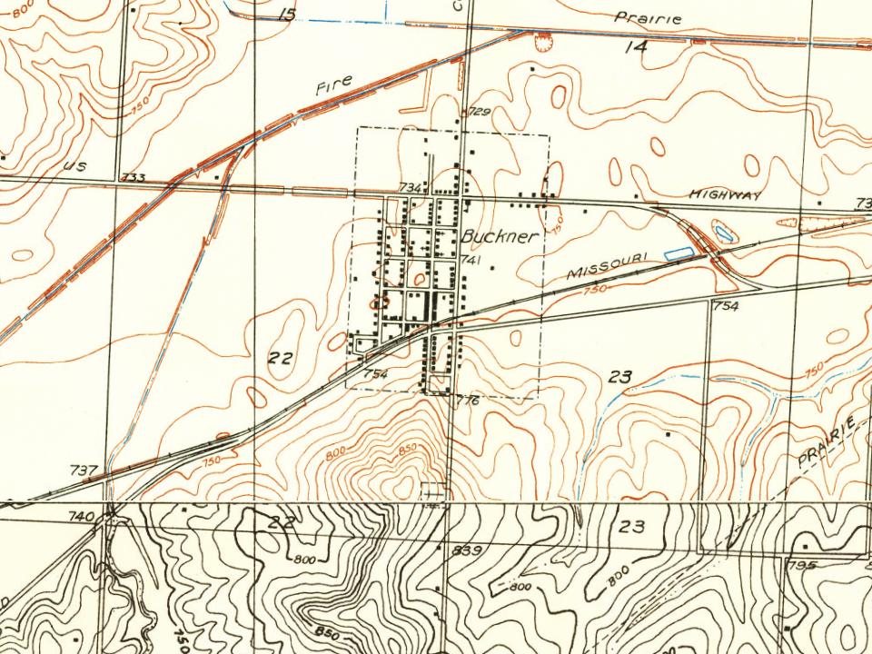
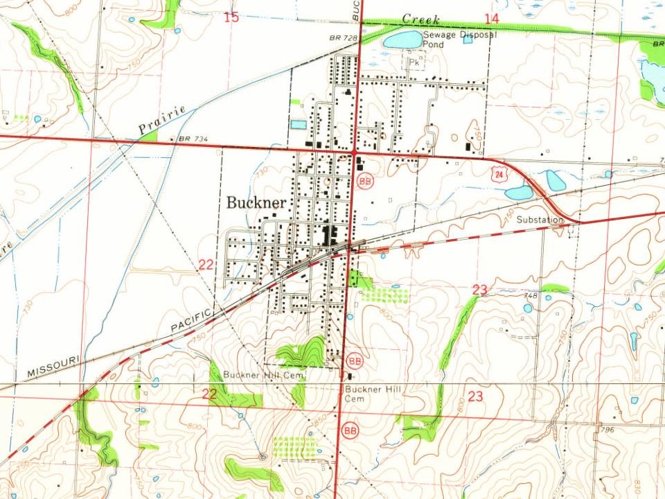
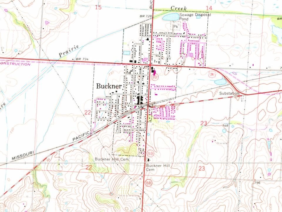
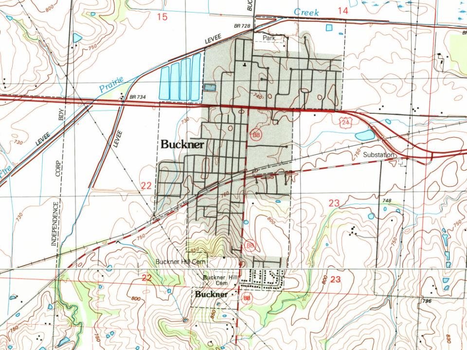
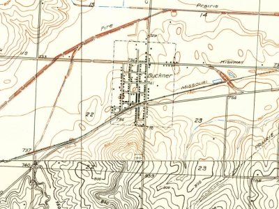
Most of Buckner was built recently: 9% of its homes predate 1940 and the median home dates from 1972. Below: maps from 1917 on and the census since 1880.
Founding year: Wikidata; Wikipedia’s history section gives the same year. First post office: 1876.The full story ↓
History grade
What drives Buckner’s History grade
On its age, its old homes and the National Register, Buckner is more historic than 26% of U.S. towns, #182 of 247 in Missouri. Its share of homes from before 1940 holds the grade up; its National Register listings pull it down.
C
HistoryA character grade: shown, never part of Buckner’s overall grade.
Missouri towns list about as much on the Register as the country (a typical Missouri town has 2.4 per 10,000 residents, the U.S. 2.4), so Buckner’s 0.0 sits below most of its state (23% of Missouri towns have fewer) while its 0 listings outnumber those of 23% of U.S. towns.
How sure. Graded on any two of the three inputs instead, the letter would range from C− to C. The pre-1940 share is a Census survey estimate (±4.3 points). Two sources give 1875.
Founding year: Wikidata (other dates in Quick answers). Homes: Census ACS 2020–24. National Register: National Park Service, May 2026 list; each listing counted once (boundary changes and added documentation belong to their listing), and a historic district counts its contributing buildings. How TownRatings grades history →
What stands out about Buckner’s past
Read from the archive, the National Register and the record. The page puts what stands out first.
Buckner was established in 1875. In its inception Buckner was a railroad depot town for the newly built Wyandotte, Kansas City and Northwestern Railroad. In 1879, the line was purchased by the Missouri Pacific Railroad. Where Buckner derives its name from is a point of contention. It was likely named for Walker Buckner, who was a board member of the WKCNW Railroad that founded the town. Others suggest it was named after former US Senator Alexander Buckner (1830-1833) who served on the States Constitutional Convention in 1820, or named after Real Estate operator Simon Buckner. Yet another claim as namesake is Thomas W. Buckner, an original owner of the site.
Passages that mention Buckner, cut from the printed page as they were published.
History of Jackson County, Missouri1920 · page 732Read the page →
Read the text
Lloyd Martin purchased his first farm in 1878, and resided thereon until 1898, when he located in Buckner. The Martin farm is a valuable tract of 80 acres, situated north of Buckner. Mr. Martin was married in February, 1880, to Miss Alice Ucker, who was born March 15, 1860, in Pickaway County, Ohio, a daug-hter of John and Nancy (Barr) Ucker, natives of Ohio. Mr. Ucker came to Jackson County from Ohio in the fall of 1868, and was engaged in farming until his retirement to a home in Buckner. John Ucker was bom July 4,
Text read by machine from the scan; it may contain errors.
History of Jackson County, Missouri1920 · page 487Read the page →
Read the text
Milton. In 1876 the family went to Virginia, where George B. Milton re¬ mained until 1882, Upon his return, he first entered the employ of Wil¬ liam Leary, at Buckner, Mo., for three months. He then engaged in railroading, and was in the employ of the Missouri Pacific Railroad Com¬ pany until 1886. In that year he went to San Diego, Calif., and for two months was employed on a bee ranch. He again engaged in railroading, and was employed on the California Southern Railroad, with headquar¬ ters at National City, Calif. He was transferred to San Bernardino and
Text read by machine from the scan; it may contain errors.
The History of Jackson county, Missouri, containing a history of the county, its cities, towns, etc., biographical sketches of its citizens, Jackson county in the late war... history of Missouri, map of Jackson county ..1881 · page 311Read the page →
Read the text
This growing town, named in honor of Mr. Buckner, who lived on a hill not far distant, is situated fifteen miles east of Independence, near the center of Fort Osage township. It was laid out by Thomas Monroe, in the spring of 1875, on the Kansas City & Eastern Railroad. The present population is 80. The first house built on the present site of Buckner was by John T. Cobb, in which he kept a general country store. This was in the year 187 1. He continued in business here till 1877, and then removed to Independence, and soon after to Blue Springs, where he is engaged in merchandising. The next store in Buckner was
Text read by machine from the scan; it may contain errors.
Scans and text from the Internet Archive. Books published in 1930 or earlier, which are in the public domain.
Timeline
Buckner, 1875 to 1935
Woven from the archive, old maps, post office records, the National Register and the people born here.
In 1875, according to Wikidata and Wikipedia’s history of the town. Buckner’s post office opened in 1876, and the census of 1880 counted 88 people here.
How does Buckner rank for history?
Buckner is more historic than 26% of U.S. towns, #182 of 247 in Missouri. The History grade combines the town’s founding era, the share of homes built before 1940 and its National Register listings. It’s a character grade, so it isn’t part of the overall grade. How it works.
How old are the homes in Buckner?
9% of Buckner’s homes were built before 1940 (Census estimate, ±4.3 points), against a typical 8.4% for a Missouri town; the median home was built in 1972.
Founding dates: Wikidata, Wikipedia, the U.S. post office records of Blevins & Helbock (CC0) and the Census. Homes by year built: Census ACS 2020–24. National Register of Historic Places: National Park Service (list of May 22, 2026). Old photos, postcards and papers: Wikimedia Commons, the Library of Congress and other public archives, credited on each item’s page. Maps: U.S. Geological Survey historical topographic maps (via Esri) and Sanborn fire-insurance maps (Library of Congress). History text and census tables: Wikipedia (CC BY-SA 4.0). Places that used to be: USGS Geographic Names Information System (2021).
From Wikimedia Commons (2), Wikipedia, U.S. Geological Survey historical maps, U.S. Census counts (via Wikipedia), the US Post Offices dataset (Blevins & Helbock), the USGS Geographic Names Information System, Sanborn fire insurance maps (Library of Congress) and old county and town histories (Internet Archive). Archive images are copied here with their credits and licenses, shown on each photo’s page. Refreshed monthly.


 2026
 2004