Brashear dates its founding to 1872 (Wikidata and Wikipedia’s history agree). The census first counted it in 1880.
First census: 164 in 18802020 census: 235154 years
How did Brashear get its name?
Brashear was named after Richard Matson Brashear (1846-1933), who was a prominent farmer and businessman in the area.
Founding year: Wikidata; Wikipedia’s history section gives the same year. First post office: 1873. Name: Wikipedia, licensed CC BY-SA 4.0.The full story ↓
What stands out about Brashear’s past
Read from the archive, the National Register and the record. The page puts what stands out first.
The town of Brashear was laid out in 1872. It was named after Richard Matson Brashear (1846-1933), who was a prominent farmer and businessman in the area. Richard Matson Brashear was the son of William Gowan Brashear (1807-1862), who is said to have been one of the first white settlers in the area in 1842. However, the Brashear community dates back prior to 1872 by several years. Approximately one mile north of the current location, there once stood a prosperous small village named Paulville, also known as Paultown, which was established around 1855 by a man named Walker Paul (1816-1888). Paulville served as a trading hub for the farms of eastern Adair County, along with several other businesses, one of which was a grist mill. Sometime during the Civil War, the grist mill was put to the torch to prevent Confederate recruits from being resupplied. The coming of the Quincy, Missouri &…
In 1872, according to Wikidata and Wikipedia’s history of the town. Brashear’s post office opened in 1873, and the census of 1880 counted 164 people here.
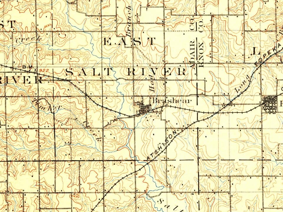
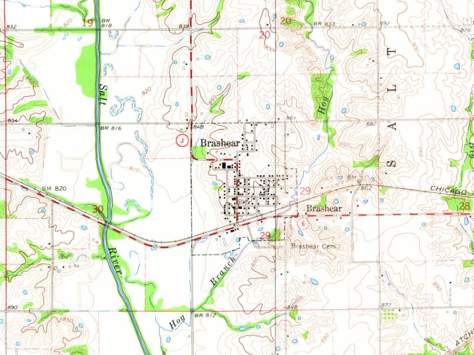
Founding dates: Wikidata, Wikipedia, the U.S. post office records of Blevins & Helbock (CC0) and the Census. Homes by year built: Census ACS 2020–24. National Register of Historic Places: National Park Service (list of May 22, 2026). Old photos, postcards and papers: Wikimedia Commons, the Library of Congress and other public archives, credited on each item’s page. Maps: U.S. Geological Survey historical topographic maps (via Esri) and Sanborn fire-insurance maps (Library of Congress). History text and census tables: Wikipedia (CC BY-SA 4.0). Places that used to be: USGS Geographic Names Information System (2021). How TownRatings grades history →
From Wikimedia Commons (1), the Library of Congress (1), Wikipedia, U.S. Geological Survey historical maps, U.S. Census counts (via Wikipedia), the US Post Offices dataset (Blevins & Helbock), the USGS Geographic Names Information System and Sanborn fire insurance maps (Library of Congress). Archive images are copied here with their credits and licenses, shown on each photo’s page. Refreshed monthly.


 Date?
 2004


