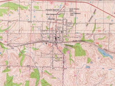
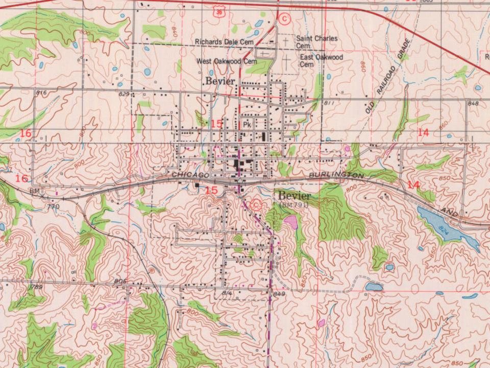
Bevier was laid out and platted in 1858 along a new railroad line. The community was named for Kentucky native Robert Bevier, who afterward became a colonel in the Confederate army. A post office called Bevier has been in operation since 1858.
Coal was discovered in Bevier in 1860, and coal mining was an important part of the town economy well into the 20th century. Bevier was incorporated as a village on September 5, 1881, and reorganized as a city on March 16, 1889.
Passages that mention Bevier, cut from the printed page as they were published.
General history of Macon County, Missouri1910 · page 597Read the page →
Read the text
of the village of Bevier, which is now incorporated as a city. He has continued to he actively identified with the great hasic industry of agriculture during his entire business career, and in this inii)ortant field of enterprise he has been exponent of the most advanced scientific methods and the most progressive policy, so that his success has been on a parity with the splendid forces and energies he has brought to bear. He maintains his home in Bevier and his fine homestead farm, comprising 390 acres, is located about one-half mile south of this city,
Text read by machine from the scan; it may contain errors.
General history of Macon County, Missouri1910 · page 105Read the page →
Read the text
With the prosperous times following the panic of 1873, the people felt the need of a better government, so on September 5, 1881, the County Court was induced to incorporate the village of Bevier, with Daniel Rowland as its first chairman of the Board. During the negro and Swede strikes, as they were termed, there had occurred riots, with which the village found itself powerless to cope and on one occasion the state militia was called upon to protect life and property. This was following the killing of Thomas Wardell, one of the leading operators, by parties
Text read by machine from the scan; it may contain errors.
Scans and text from the Internet Archive. Books published in 1930 or earlier, which are in the public domain.
Timeline
Bevier, 1858 to 1978
Woven from the archive, old maps, post office records, the National Register and the people born here.
Founding dates: Wikidata, Wikipedia, the U.S. post office records of Blevins & Helbock (CC0) and the Census. Homes by year built: Census ACS 2020–24. National Register of Historic Places: National Park Service (list of May 22, 2026). Old photos, postcards and papers: Wikimedia Commons, the Library of Congress and other public archives, credited on each item’s page. Maps: U.S. Geological Survey historical topographic maps (via Esri) and Sanborn fire-insurance maps (Library of Congress). History text and census tables: Wikipedia (CC BY-SA 4.0). Places that used to be: USGS Geographic Names Information System (2021). How TownRatings grades history →
From Wikipedia, Wikidata and Wikipedia for famous people, U.S. Geological Survey historical maps, U.S. Census counts (via Wikipedia), the US Post Offices dataset (Blevins & Helbock), the USGS Geographic Names Information System, Sanborn fire insurance maps (Library of Congress) and old county and town histories (Internet Archive). Archive images are copied here with their credits and licenses, shown on each photo’s page. Refreshed monthly.