St. Cloud’s post office opened in 1855, and 12% of its homes were built before 1940
More historic than 63% of U.S. towns · #65 of 273 in Minnesota. What drives it
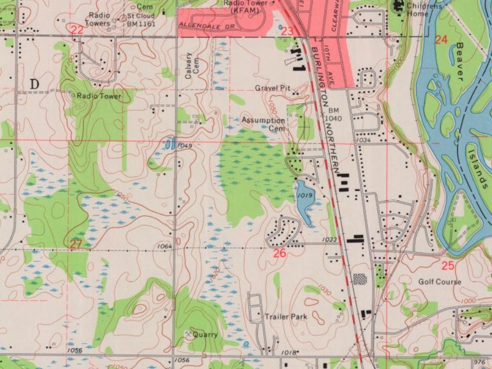
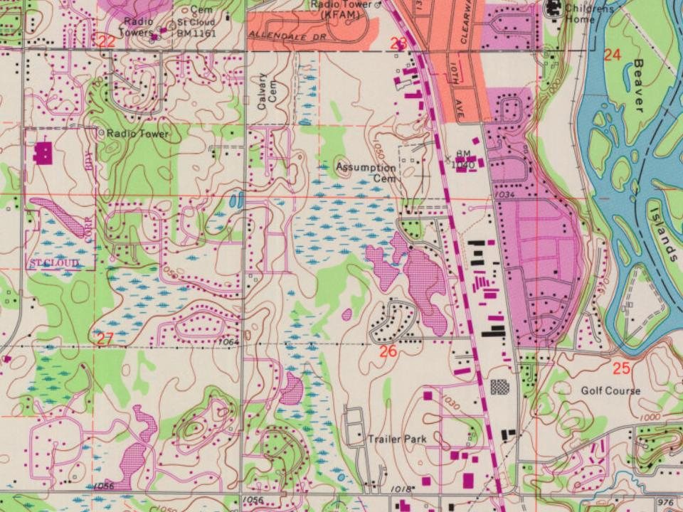
14 places in town are on the National Register, among them three historic districts with 81 buildings between them. Below: 5 old photos and papers, maps from 1950 on, and the census since 1870.
Founding year: the first St. Cloud post office (Blevins & Helbock, CC0). Wikidata: 1856.The full story ↓
History grade
What drives St. Cloud’s History grade
On its age, its old homes and the National Register, St. Cloud is more historic than 63% of U.S. towns, #65 of 273 in Minnesota. Its National Register listings hold the grade up; its age pulls it down.
B
HistoryA character grade: shown, never part of St. Cloud’s overall grade.
Minnesota towns list about as much on the Register as the country (a typical Minnesota town has 2.1 per 10,000 residents, the U.S. 2.4), so St. Cloud’s 14.2 sits above most of its state (80% of Minnesota towns have fewer) while its 100 historic buildings outnumber those of 89% of U.S. towns.
How sure. Graded on any two of the three inputs instead, the letter would range from C+ to A−. The pre-1940 share (±1.5 points) is firm at this size. The founding year is the first post office, not a stated founding date; Wikidata’s 1856 falls in the same era, so the grade doesn’t depend on which one is used.
Founding year: the first post office (other dates in Quick answers). Homes: Census ACS 2020–24. National Register: National Park Service, May 2026 list; each listing counted once (boundary changes and added documentation belong to their listing), and a historic district counts its contributing buildings. How TownRatings grades history →
What stands out about St. Cloud’s past
Read from the archive, the National Register and the record. The page puts what stands out first.
What is now the St. Cloud area was occupied by various Indigenous peoples for thousands of years. Voyageurs and coureurs des bois from New France first encountered the Ojibwe and Dakota through the highly profitable North American fur trade with local Native American peoples.
The Minnesota Territory was organized in 1849. The St. Cloud area opened up to homesteading after the Treaty of Traverse des Sioux was signed with the Dakota people in 1851. John L. Wilson, a Yankee homesteader from Columbia, Maine, with French Huguenot ancestry and an interest in Napoleon, named the settlement St. Cloud after Saint-Cloud, the Paris suburb where Napoleon had his favorite palace.
Passages that mention St. Cloud, cut from the printed page as they were published.
History of Stearns County, Minnesota1915 · page 1252Read the page →
Read the text
taken from the township of St. Cloud and annexed to the township of Maine Prairie. The name of the township of Springfield was changed to Wakefield September 14, and November 2 the name of the township of Richmond was changed to Richardson and that of Winnebago to Calais, but the latter change was reconsidered and the name of Brockway chosen. At the session January 3, 1859, the name Richardson was changed to Munson and the township of Corning was established with the following-described boundaries : Commencing at the mouth of the Clearwater river, following up the Mississippi river to
Text read by machine from the scan; it may contain errors.
History of Stearns County, Minnesota1915 · page 1495Read the page →
Read the text
On March 8, 1862, the legislature passed an act incorporating the town of St. Cloud, granting to it all the general powers possessed by municipal corporations at common law, in addition to others specifically granted, and repealing a former charter. The grant contained the following important matters:
Text read by machine from the scan; it may contain errors.
Scans and text from the Internet Archive. Books published in 1930 or earlier, which are in the public domain.
Timeline
St. Cloud, 1855 to 1991
Woven from the archive, old maps, post office records, the National Register and the people born here.
Nothing in the archives for these yearsWeddings on Main Street, storms, parades, school pictures, the old store. If it’s in your family album, it belongs here.
The St. Cloud post office opened in 1855, the earliest record of the town by name (U.S. post office records). Wikidata gives 1856.
How does St. Cloud rank for history?
St. Cloud is more historic than 63% of U.S. towns, #65 of 273 in Minnesota. The History grade combines the town’s founding era, the share of homes built before 1940 and its National Register listings. It’s a character grade, so it isn’t part of the overall grade. How it works.
What is on the National Register in St. Cloud?
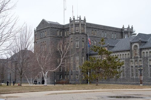
14 listings: 11 buildings, among them the Foley-Brower-Bohmer House (listed 1978, the first), and 3 historic districts, the Minnesota State Reformatory for Men Historic District, the St. Cloud Commercial Historic District and the St. Cloud Veterans Administration Hospital Historic District, with 81 contributing buildings. 100 historic buildings in all.
How old are the homes in St. Cloud?
12% of St. Cloud’s homes were built before 1940 (Census estimate, ±1.5 points), against a typical 8.1% for a Minnesota town; the median home was built in 1981.
Founding dates: Wikidata, Wikipedia, the U.S. post office records of Blevins & Helbock (CC0) and the Census. Homes by year built: Census ACS 2020–24. National Register of Historic Places: National Park Service (list of May 22, 2026). Old photos, postcards and papers: Wikimedia Commons, the Library of Congress and other public archives, credited on each item’s page. Maps: U.S. Geological Survey historical topographic maps (via Esri) and Sanborn fire-insurance maps (Library of Congress). History text and census tables: Wikipedia (CC BY-SA 4.0). Places that used to be: USGS Geographic Names Information System (2021).
From Wikimedia Commons (5), Wikidata (1), the National Register of Historic Places (14), Wikipedia, Wikidata and Wikipedia for famous people, U.S. Geological Survey historical maps, U.S. Census counts (via Wikipedia), the US Post Offices dataset (Blevins & Helbock), the USGS Geographic Names Information System and old county and town histories (Internet Archive). Archive images are copied here with their credits and licenses, shown on each photo’s page. Refreshed monthly.



 1864
 1867
 1869