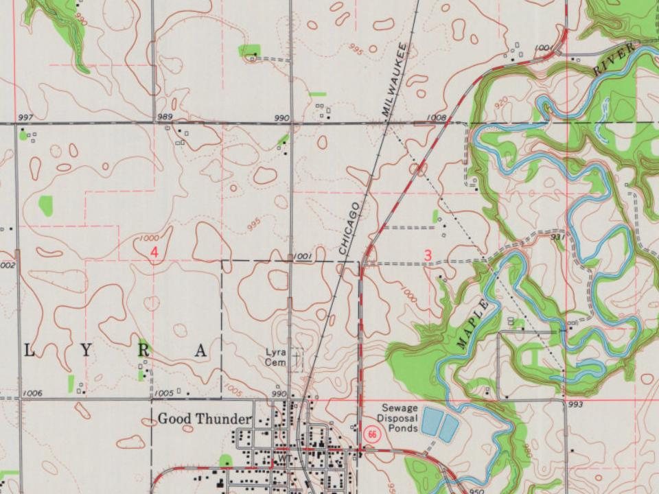
Originally, this area was a part of the Winnebago Reservation from 1855 to 1859. John Graham established a hotel in what is now the town in 1870. When the railroad arrived in Minnesota, the town began as an agricultural commerce center.
Good Thunder was platted in April 1871, and named for a Winnebago chief (who was also known as Wakuntchapinka). Chief Good Thunder was well known to the early white towns people, and he had converted to Christianity.
Passages that mention Good Thunder, cut from the printed page as they were published.
History of Blue Earth County and biographies of its leading citizens1901 · page 263Read the page →
Read the text
30, 1870, and were the first settlers in Good Thunder village, ilay 6, 1871, a new postoffice called "Good Thunder's Ford" was established with Mr. Graham as postmaster. The new town was surveyed in April, 1871, in the west one-half of northwest one-fourth of Section 10, and the plat made by Levi Houk, (^lark W. Thompson, Jas. B. Hubbell and John
Text read by machine from the scan; it may contain errors.
History of Blue Earth County and biographies of its leading citizens1901 · page 208Read the page →
Read the text
Independence day, (1891), was celebrated at Good Thunder, Mapleton, St. Clair, Lake Crystal and Cambria. About the first of September, 1891, an Alliance paper called the "Good Thunder Herald" was started at Good Thunrlcr, the Mecca of that organization, by Frank Griffin. October 13th, appeared the first number of the "Amboy
Text read by machine from the scan; it may contain errors.
Scans and text from the Internet Archive. Books published in 1930 or earlier, which are in the public domain.
Timeline
Good Thunder, 1871 to 1974
Woven from the archive, old maps, post office records, the National Register and the people born here.
Nothing in the archives for these yearsWeddings on Main Street, storms, parades, school pictures, the old store. If it’s in your family album, it belongs here.
Founding dates: Wikidata, Wikipedia, the U.S. post office records of Blevins & Helbock (CC0) and the Census. Homes by year built: Census ACS 2020–24. National Register of Historic Places: National Park Service (list of May 22, 2026). Old photos, postcards and papers: Wikimedia Commons, the Library of Congress and other public archives, credited on each item’s page. Maps: U.S. Geological Survey historical topographic maps (via Esri) and Sanborn fire-insurance maps (Library of Congress). History text and census tables: Wikipedia (CC BY-SA 4.0). Places that used to be: USGS Geographic Names Information System (2021). How TownRatings grades history →
From Wikimedia Commons (6), Wikipedia, U.S. Geological Survey historical maps, U.S. Census counts (via Wikipedia), the US Post Offices dataset (Blevins & Helbock), the USGS Geographic Names Information System and old county and town histories (Internet Archive). Archive images are copied here with their credits and licenses, shown on each photo’s page. Refreshed monthly.


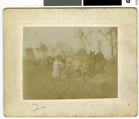


 c. 1888
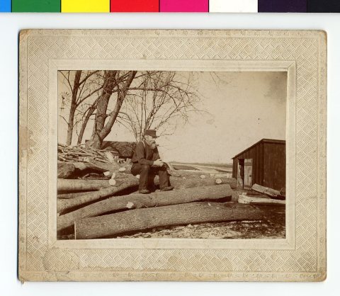 c. 1888
 c. 1900